")


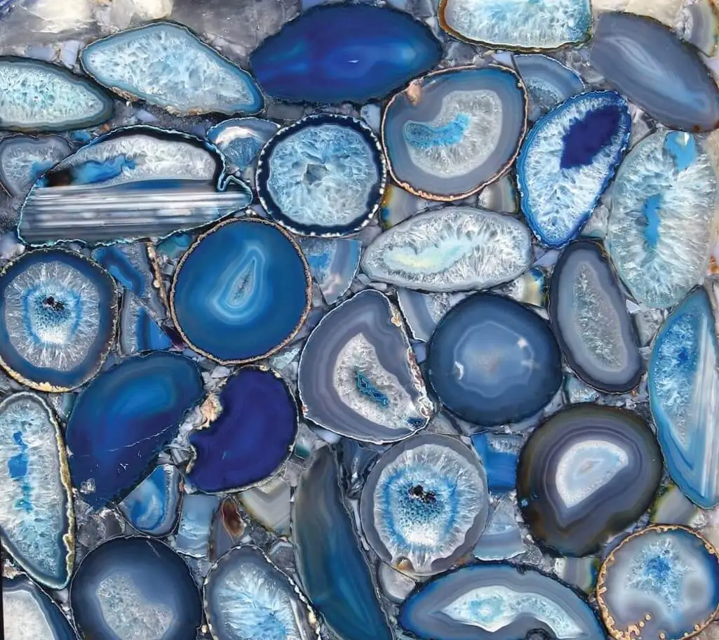
Blue Agate

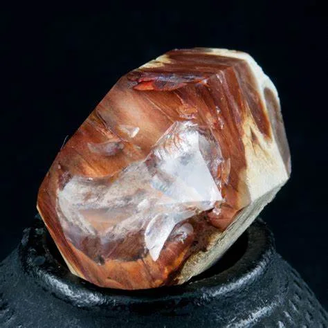
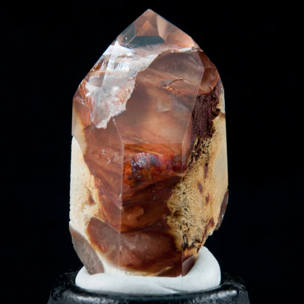
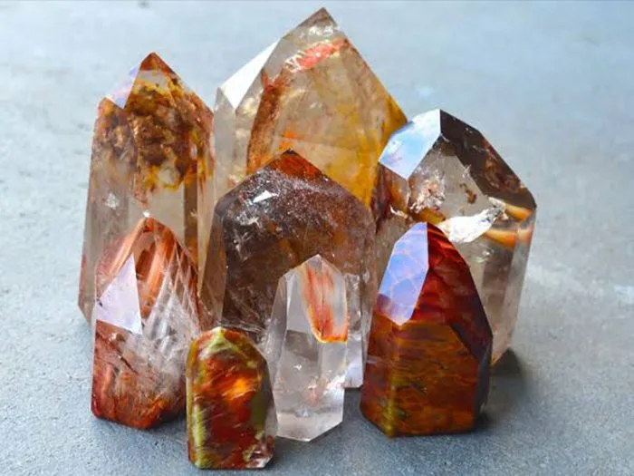
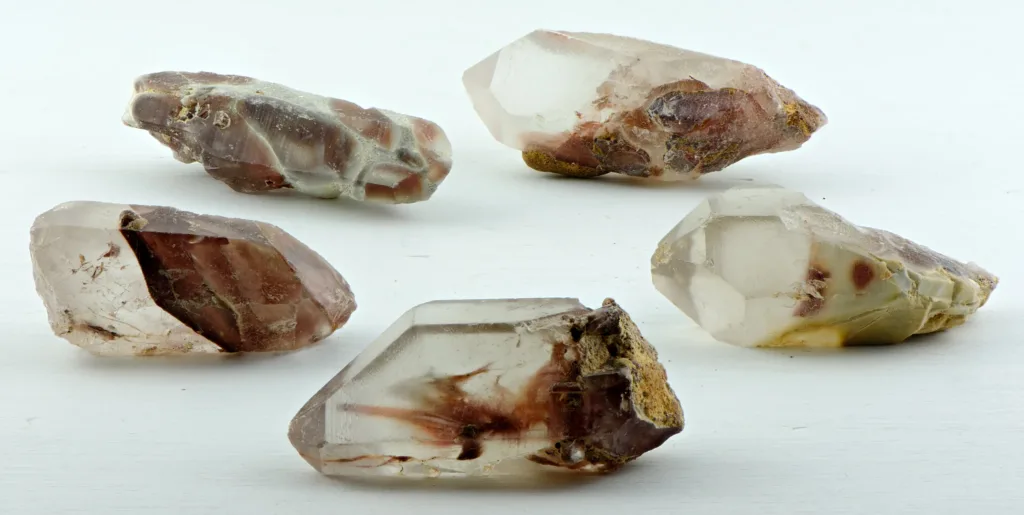
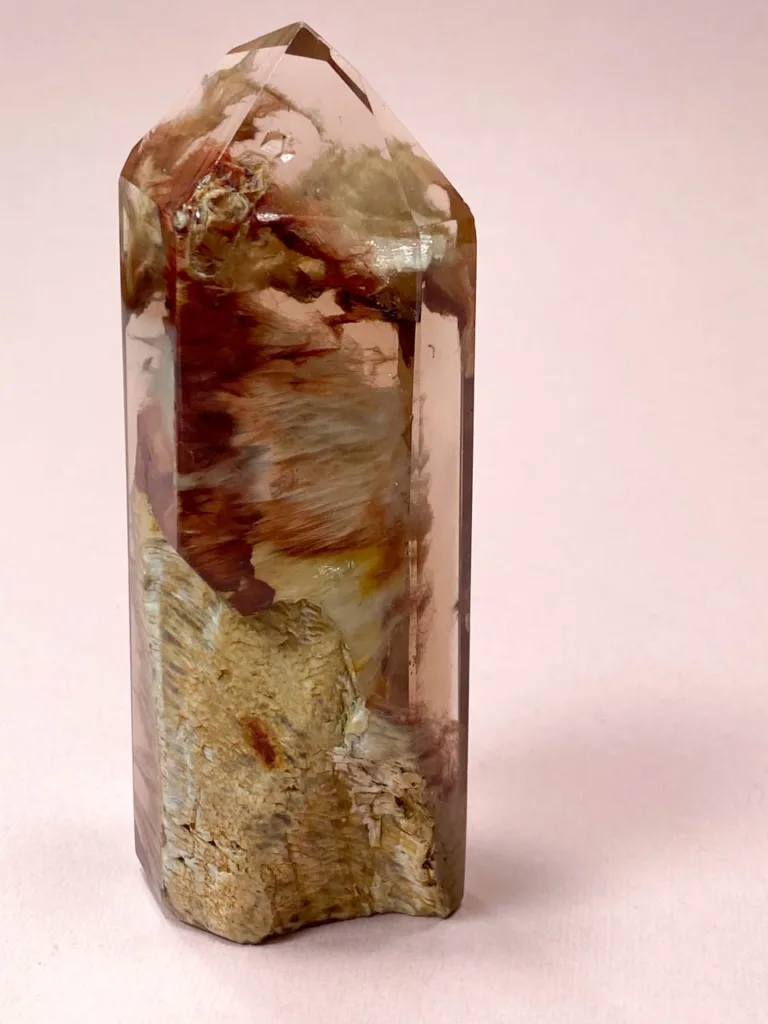
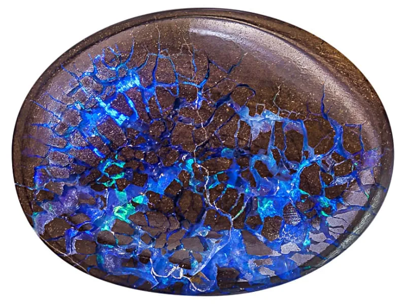
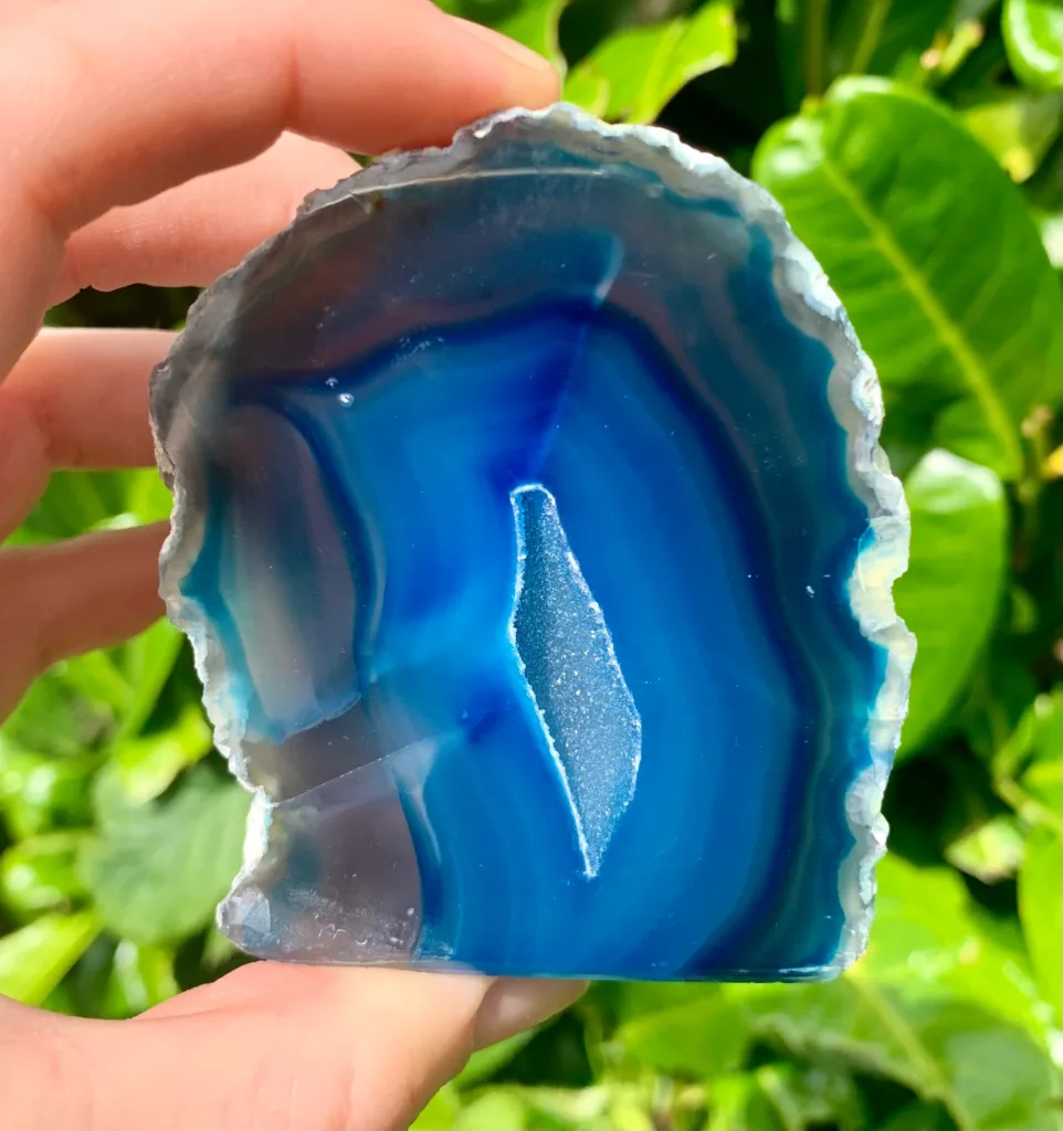
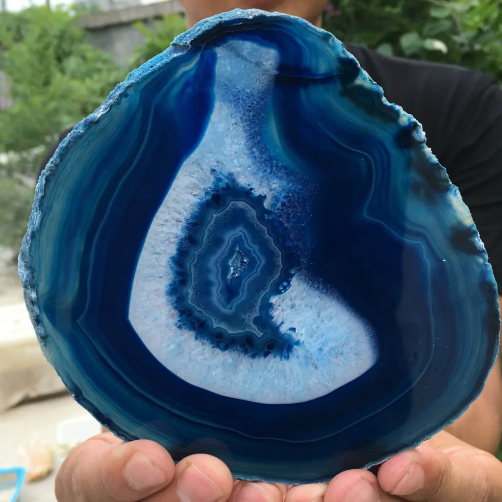
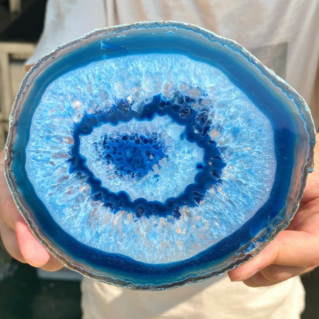
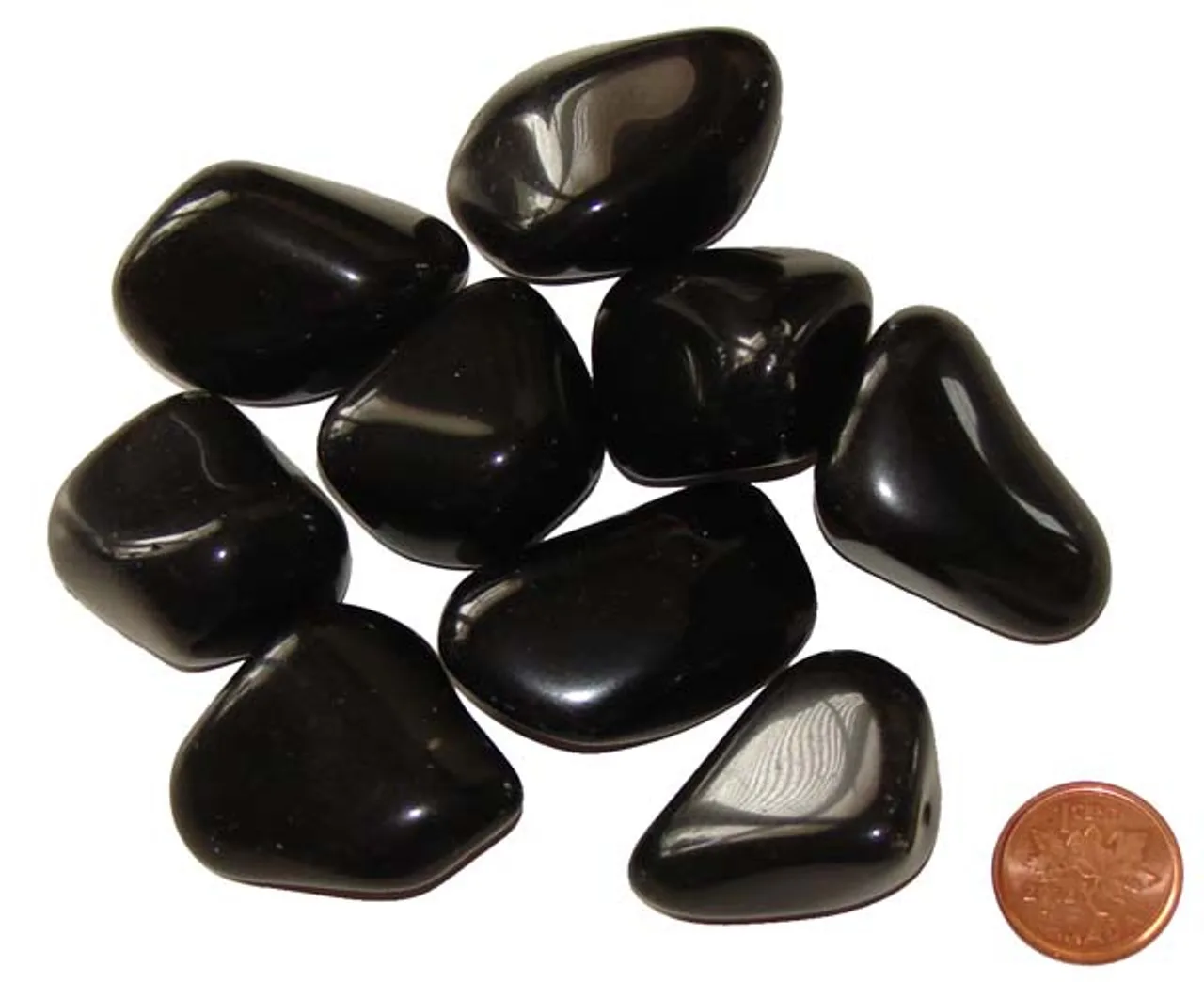
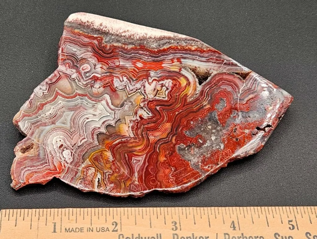
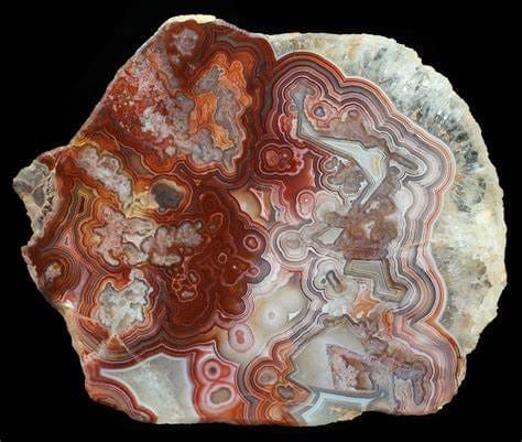
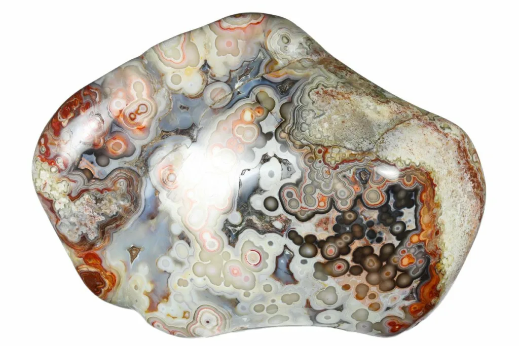
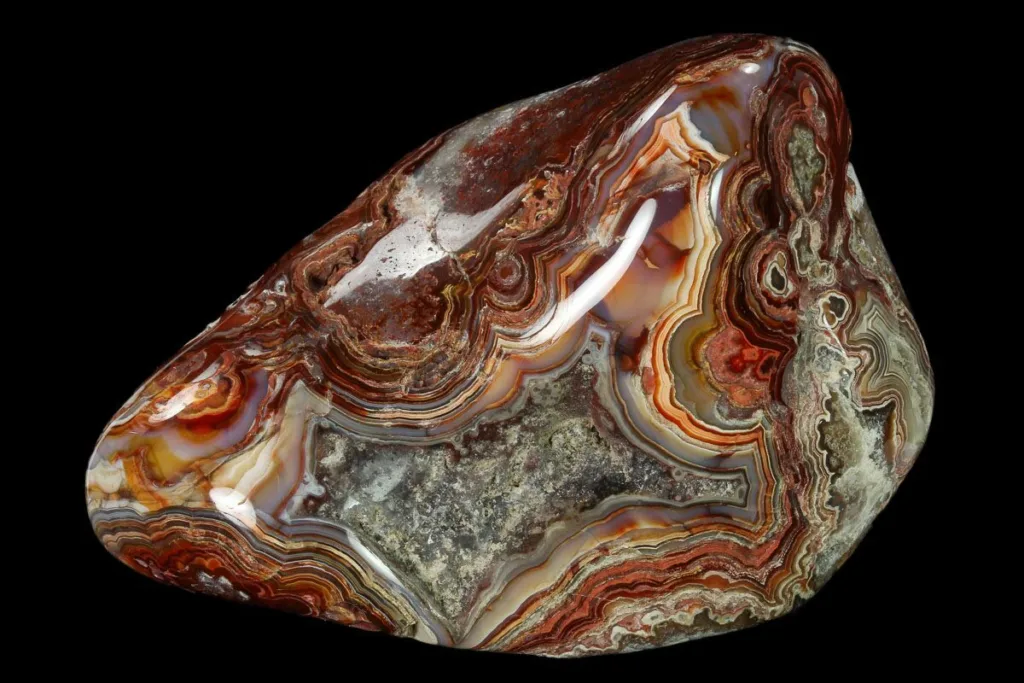
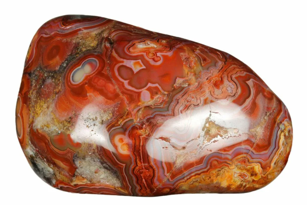
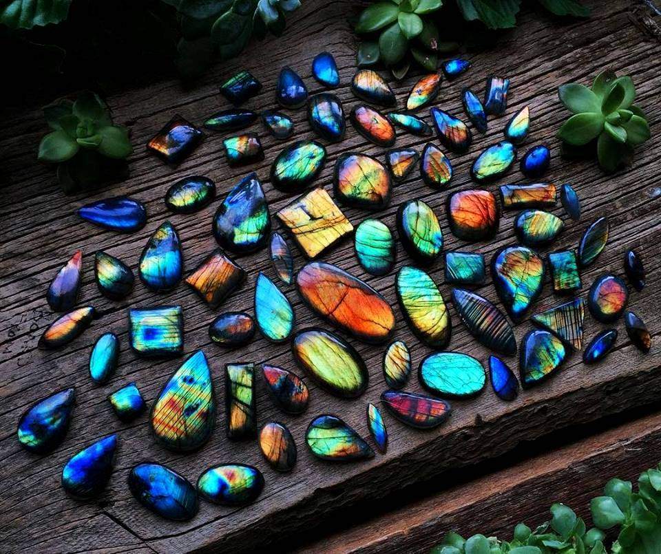
Blue agate is a beautiful and highly sought-after variety of the mineral agate, known for its stunning shades of blue and its numerous metaphysical and decorative uses. Blue agate is a form of chalcedony, which is a type of microcrystalline quartz. It is characterized by its striking blue hues, ranging from pale sky blue to deep navy, often featuring intricate banding patterns or translucent layers. These bands or layers give it a unique and mesmerizing appearance, making it a popular choice for both jewelry and ornamental purposes.
Significance and Uses:
- Metaphysical Properties: Blue agate is believed to possess various metaphysical properties and healing qualities. It is often associated with calming and soothing energies, making it a popular choice for those seeking emotional balance and stress relief. It is thought to promote inner peace, enhance communication, and improve self-expression.
- Spiritual and Meditation: Blue agate is used in meditation practices to help individuals connect with their inner selves, deepen their spiritual awareness, and facilitate clarity of thought. Its tranquil energy is said to promote a sense of harmony and balance in one’s life.
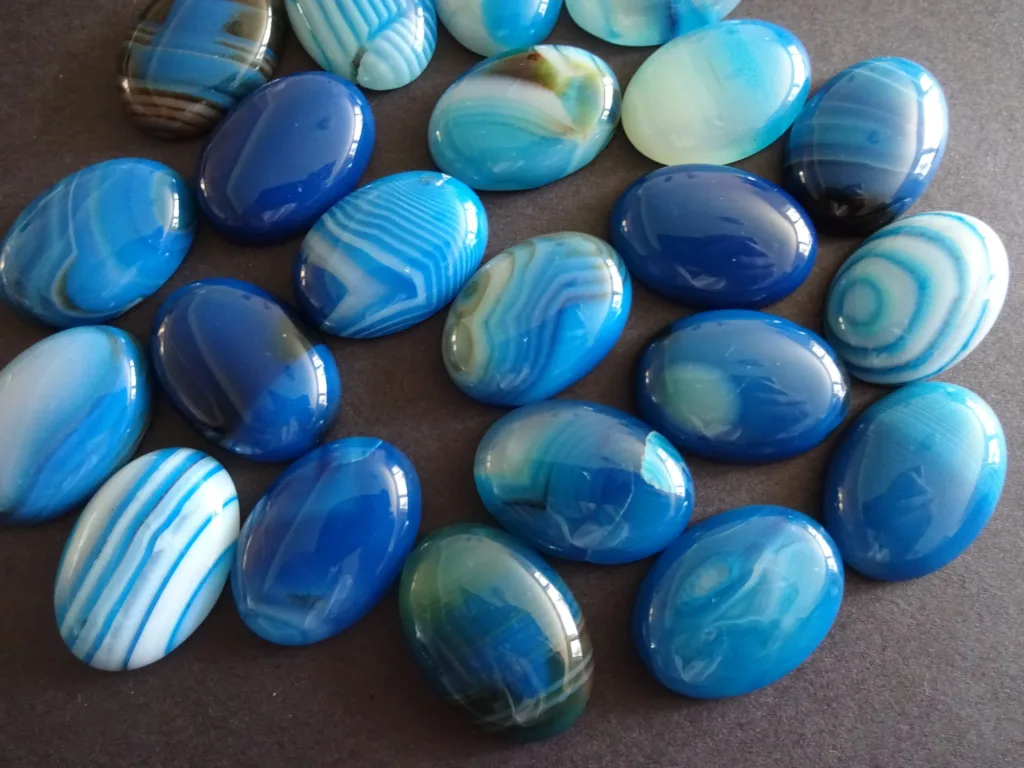
- Jewelry: Blue agate is commonly used in jewelry making, including bracelets, necklaces, earrings, and rings. Its exquisite colors and patterns make it an attractive choice for creating stylish and elegant pieces. Wearing blue agate jewelry is believed to bring a sense of tranquility and balance to the wearer.
- Home Decor: Blue agate is also employed in home decor, often as decorative slices or coasters. These slices are prized for their aesthetic appeal and are used to add a touch of natural beauty to interior spaces. Blue agate coasters, for instance, can bring a sense of sophistication and serenity to your home.
- Lapidary Art: Skilled lapidary artists can cut and polish blue agate into various shapes and forms, such as cabochons and beads, for use in crafts and artistic creations. Its intricate banding patterns make it a favorite among artisans for creating unique and one-of-a-kind pieces.
- Gifts and Talismans: Blue agate is often chosen as a thoughtful gift for its symbolic meanings and soothing properties. It is sometimes used as a talisman or amulet to protect against negative energies and promote positivity.
In conclusion, blue agate is a captivating gemstone renowned for its calming energies, stunning appearance, and versatile uses. Whether you are drawn to it for its metaphysical properties, its role in jewelry and decoration, or its potential in creative endeavors, blue agate continues to be a cherished gemstone appreciated for its beauty and significance.
Geological Formation of Blue Agate
Blue agate, like other varieties of agate, is formed through a complex geological process that takes place in the Earth’s crust over millions of years. Here is an overview of the geological formation of blue agate:
- Origin of Silica-Rich Solutions: The formation of agate begins when silica-rich solutions, often derived from volcanic activity or groundwater percolation, start to infiltrate cracks, cavities, or voids in host rocks. Silica is the main component of agate, and it precipitates out of these solutions over time.
- Host Rock Selection: Agate formation typically occurs within cavities or vesicles of host rocks, such as basalt, andesite, or other volcanic rocks. These cavities serve as a natural mold or container for the agate’s growth.
- Layered Deposition: As the silica-rich solutions infiltrate the cavities, they deposit microscopic layers of silica on the inner surfaces of the cavity walls. The color of blue agate is a result of impurities or trace elements present in these solutions, such as iron or copper, which impart the blue hues to the silica.
- Band Formation: Over millions of years, the process of layering continues, with alternating layers of silica and impurities accumulating. This results in the characteristic banding patterns seen in agate, including blue agate. The specific colors and patterns depend on the type and concentration of impurities present in the silica solutions.
- Crystalline Growth and Microstructures: As the layers of silica continue to build up, they often form microcrystals, creating a fine-grained texture within the agate. These microstructures contribute to the translucency and unique appearance of agate.
- Agate Nodules: As the silica layers grow and accumulate, they eventually fill the entire cavity, forming a solid nodule of agate within the host rock. These nodules can vary in size from small pebbles to larger masses, and their color and pattern are determined by the geological conditions and impurities present during the formation process.
- Secondary Processes: After the initial formation of agate, secondary processes may further modify its appearance. This can include additional mineral deposition, erosion, and weathering, which can enhance the color and polish of the agate or expose it through geological processes like erosion.
It’s important to note that the specific geological conditions, including the type of host rock, the composition of the infiltrating solutions, and the length of time involved, all play a significant role in determining the color and patterns of blue agate. As a result, blue agate specimens can vary widely in appearance, making each one unique and prized for its individual beauty.
Occurrence and Distribution
Blue agate, like other types of agate, is found in various regions around the world, and its occurrence is closely tied to the geological conditions of specific areas. Here’s an overview of the occurrence and distribution of blue agate:
- Brazil: Brazil is one of the most prolific sources of blue agate, particularly from the Rio Grande do Sul state in the southern part of the country. The city of Rio Grande do Sul, especially the area around the city of Soledade, is famous for its production of high-quality blue agate. These agate deposits are often associated with basaltic volcanic rocks.
- Uruguay: Uruguay is another South American country known for its blue agate deposits. The Artigas region in northern Uruguay is particularly renowned for its deep blue and vibrant-colored agates, often found in cavities within basaltic rocks.
- United States: Blue agate can be found in several locations across the United States, with notable occurrences in states like Oregon, Montana, and Michigan. In Oregon, the Richardson’s Ranch and Graveyard Point are famous for their blue agate deposits. Montana’s Yellowstone River region is also known for producing blue agate, and Michigan has deposits in the Upper Peninsula.
- Madagascar: Madagascar is a significant source of blue agate, especially in the southern region of the country. Blue agate from Madagascar often displays striking banding patterns and vibrant blue colors, making it highly sought after in the gem and mineral trade.
- India: India has agate deposits in various regions, and while not as famous for blue agate as some other countries, it does produce this variety. Rajasthan, in northern India, is known for its agate deposits, including blue agate.
- Other Locations: Blue agate can also be found in smaller quantities in countries like Mexico, Australia, Namibia, and Botswana, among others. These occurrences are often associated with volcanic or basaltic rock formations.
It’s important to note that the geological conditions and specific impurities in the silica-rich solutions can vary from one location to another. This variability leads to differences in the color, pattern, and quality of blue agate from different regions, making each source unique and sought after by collectors and enthusiasts.
Prospectors and lapidary enthusiasts often search for blue agate in these regions, and it is then processed and used for various purposes, including jewelry, lapidary arts, and as collectible specimens for display. The beauty and uniqueness of blue agate from different locations continue to attract interest from people worldwide.
Physical and Chemical Properties of Blue Agate
Blue agate, like other varieties of agate, possesses a set of physical and chemical properties that define its characteristics and make it distinct. Here are the primary physical and chemical properties of blue agate:
Physical Properties:
- Color: Blue agate, as the name suggests, is characterized by a range of blue hues. These can vary from pale blue to deep navy, and the specific shade depends on the presence of impurities or trace elements within the silica structure.
- Transparency: Blue agate is typically translucent to semi-translucent, allowing light to pass through it to some degree. This property contributes to its visual appeal, especially when it is cut and polished for use in jewelry and ornamental objects.
- Luster: Blue agate often displays a vitreous or glassy luster when polished. This quality enhances its aesthetic appeal and contributes to its desirability in the world of gemstones and lapidary arts.
- Hardness: Blue agate has a hardness of approximately 6.5-7 on the Mohs scale of mineral hardness. This level of hardness makes it relatively durable and resistant to scratching, although it can still be susceptible to damage from harder materials.
- Cleavage: Agate does not exhibit cleavage, which means it does not have natural planes of weakness along which it can split. Instead, it fractures conchoidally, producing smooth, curved surfaces when it breaks.
- Fracture: Blue agate typically displays a conchoidal fracture, which results in curved and smooth fracture surfaces that resemble the shape of a seashell.
- Specific Gravity: The specific gravity of blue agate varies depending on its composition but generally falls within the range of 2.58 to 2.64. This property helps distinguish it from other gemstones based on its density.
Chemical Properties:
- Composition: Blue agate is primarily composed of silicon dioxide (SiO2), the mineral quartz. However, what gives it its distinctive blue color are trace elements or impurities such as iron (Fe), copper (Cu), and manganese (Mn) that are present in the silica structure. These impurities can vary in concentration, leading to different shades of blue.
- Crystal Structure: Blue agate has a microcrystalline structure, meaning its quartz crystals are extremely small and tightly packed together. This microstructure contributes to its smooth and fine-grained texture.
- Porosity: Agate is known for its porosity, resulting from the formation process where it fills cavities in host rocks. This porosity can create the banded or layered appearance for which agate is famous.
- Solubility: Agate is generally insoluble in water and most common acids. However, it can be slowly dissolved by hydrofluoric acid, which is highly corrosive.
- Streak: The streak of blue agate, when tested on an unglazed porcelain streak plate, is typically white. This is a common property of most varieties of quartz.
These physical and chemical properties collectively contribute to the unique appearance and desirability of blue agate, making it a popular choice for a variety of applications, including jewelry, decorative items, and metaphysical purposes.
Uses and Applications
Blue agate, prized for its beauty and metaphysical properties, finds a wide range of uses and applications across various industries and interests. Here are some of the most common uses and applications of blue agate:
- Jewelry: Blue agate is a popular choice for crafting jewelry due to its captivating color and banding patterns. It is often used to create exquisite pieces such as necklaces, bracelets, earrings, and rings. Blue agate jewelry not only adds a touch of elegance but is also believed to provide calming energy to the wearer.
- Home Decor: Blue agate slices, polished coasters, and decorative objects are used in interior design to add a touch of natural beauty and sophistication to homes and offices. Agate’s translucent qualities make it an excellent choice for lighting fixtures, tabletops, and wall art.
- Metaphysical and Healing Practices: Blue agate is associated with various metaphysical properties, such as promoting inner peace, emotional balance, and communication. It is often used in meditation, chakra healing, and energy work to enhance self-expression and spiritual growth.
- Lapidary Arts: Skilled lapidary artists cut and shape blue agate into various forms, including cabochons, beads, and cameos. These pieces can be used in custom jewelry making, sculptures, and other artistic creations.
- Gifts and Collectibles: Blue agate items, such as polished specimens, carvings, and bookends, make thoughtful and unique gifts. Collectors often seek out rare and high-quality blue agate specimens to add to their collections.
- Crystal Grids: Blue agate is frequently included in crystal grids, where specific crystals are arranged in geometric patterns for energy amplification and intention setting. Its calming and soothing properties make it a valuable addition to such grids.
- Interior Design: Interior designers use blue agate as a decorative element in luxury spaces, such as hotels, spas, and upscale residences. Agate slabs and tiles are employed for creating stunning feature walls and backsplashes.
- Metallurgy: In some cases, blue agate is crushed and used as an abrasive material in the process of metal polishing and finishing. Its hardness and fine-grained texture make it suitable for this purpose.
- Education and Science: Blue agate, along with other agate varieties, is used in educational settings and scientific research to study mineral formation processes and crystallography. Thin sections of agate are examined under a microscope to better understand their internal structures.
- Fashion Accessories: Designers sometimes incorporate blue agate into fashion accessories like belts, buckles, and handbags to infuse a touch of natural elegance into clothing and accessories.
- Feng Shui: Blue agate is used in Feng Shui applications to balance and harmonize energy in living spaces. It is placed strategically to enhance specific areas of life, such as love, wealth, and career.
- Amulets and Talismans: Blue agate is believed to possess protective qualities, and small tumbled stones or pendants made from blue agate are used as amulets or talismans to ward off negative energies and bring positive vibrations.
Overall, the versatility, beauty, and metaphysical properties of blue agate make it a cherished material in various industries and practices, offering both aesthetic and spiritual benefits to those who incorporate it into their lives.


")