


")


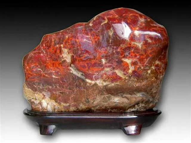
Chicken-Blood Stone

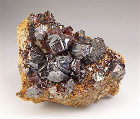
Chicken-Blood Stone, also known as “Ji Xue Shi” in Chinese, is a unique and highly prized gemstone that holds cultural and aesthetic significance, particularly in Chinese culture. It is renowned for its vivid red and maroon hues, which are reminiscent of the color of fresh chicken blood, hence its name. This gemstone is revered for its intricate patterns and striking colors, making it a popular choice for both ornamental and spiritual purposes.
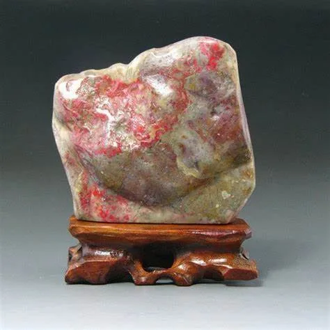
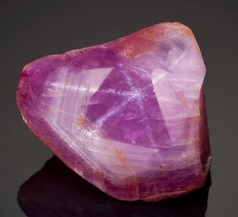
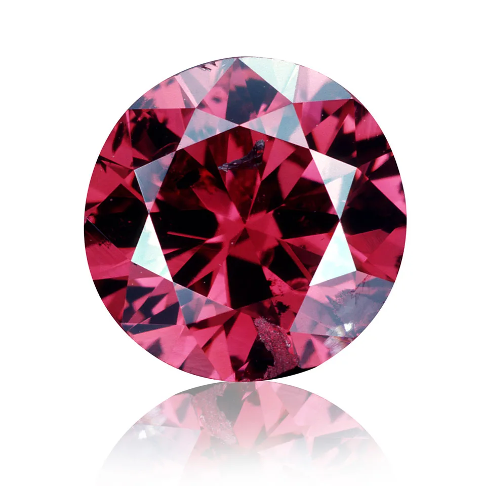
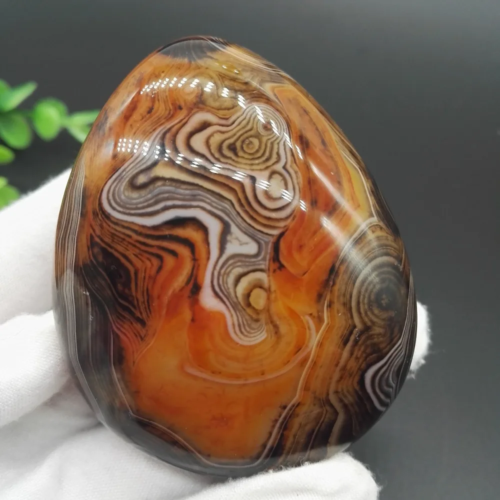
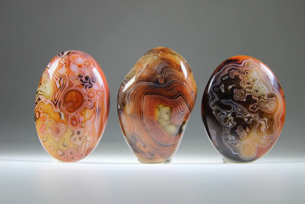
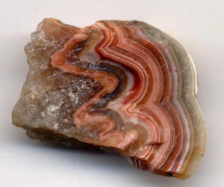
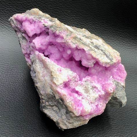
Appearance and Color: Chicken-Blood Stone is a type of jasper, a form of microcrystalline quartz, and is characterized by its distinct and captivating appearance. It is typically found in shades of deep red, maroon, and burgundy, often with intricate veins and patterns that resemble the splattering or flowing of blood. The stone’s surface may also display contrasting areas of lighter and darker tones, enhancing its visual appeal.
Distinctive Features: Several distinctive features set Chicken-Blood Stone apart from other gemstones:
- Color Variations: The stone’s primary characteristic is its rich and intense red color, which is believed to symbolize vitality, courage, and inner strength. The color variations within the stone contribute to its unique allure.
- Patterns and Veins: Chicken-Blood Stone often exhibits intricate patterns and veins that resemble the fluid and dynamic flow of blood. These patterns can take on various shapes, from small specks to sweeping lines, making each piece one-of-a-kind.
- Cultural Significance: In Chinese culture, Chicken-Blood Stone holds profound significance. It is associated with notions of power, protection, and life force. This gemstone has been used for centuries in traditional Chinese carving, sculpture, and jewelry, often carved into intricate figurines and amulets.
- Spiritual Beliefs: Chicken-Blood Stone is sometimes believed to have metaphysical properties that can bring positive energy, enhance personal strength, and provide protection against negative influences. As with many gemstones, these spiritual beliefs contribute to its popularity.
- Artistic Applications: Due to its captivating appearance, Chicken-Blood Stone is frequently used in ornamental carvings, sculptures, and jewelry. Skilled artisans carve the stone into various shapes, often depicting symbolic figures or scenes from nature.
In summary, Chicken-Blood Stone is a visually striking and culturally significant gemstone that has captured the admiration of people for centuries. Its deep red color, intricate patterns, and cultural symbolism make it a cherished and sought-after material for both artistic and spiritual purposes.
Geological Formation and Occurrence

Geological Formation: Chicken-Blood Stone, also known as Chicken-Blood Jasper or Ji Xue Shi, is a type of jasper, which is a microcrystalline variety of quartz. Its formation is primarily a result of hydrothermal processes within the Earth’s crust. The process of Chicken-Blood Stone formation involves the following steps:
- Mineral Precipitation: Under specific geological conditions, mineral-rich fluids (often containing silica and iron oxides) are transported through fractures and faults within the Earth’s crust. These fluids can also be associated with volcanic activity or hot springs.
- Deposition and Crystallization: As the mineral-rich fluids migrate through the rock, they begin to cool and lose their solubility. This leads to the precipitation and crystallization of silica (quartz) and other minerals, which gradually build up and create the microcrystalline structure characteristic of jasper.
- Coloration: The distinct red color of Chicken-Blood Stone is attributed to the presence of iron oxides and other trace elements within the silica matrix. The interaction between these elements during the crystallization process gives rise to the vivid red and maroon hues.
Types of Geological Environments: Chicken-Blood Stone is typically found in sedimentary rocks or within fractures and cavities of igneous or metamorphic rocks. It often occurs in areas with hydrothermal activity, where hot fluids have interacted with existing rock formations. Some common geological environments where Chicken-Blood Stone is found include:
- Metamorphic Zones: Chicken-Blood Stone can form as a result of metamorphism, which involves the alteration of existing rocks due to high temperature and pressure. During this process, the minerals in the rock can recrystallize, leading to the formation of jasper-like materials.
- Hydrothermal Deposits: Hydrothermal systems, which involve the movement of hot fluids through fractures in the Earth’s crust, can facilitate the deposition of minerals like quartz and iron oxides. These fluids can carry the necessary components for Chicken-Blood Stone formation and contribute to its distinct coloration.
- Volcanic Environments: Chicken-Blood Stone can sometimes be associated with volcanic activity, where mineral-rich fluids are expelled during volcanic eruptions or are released through hot springs and geysers.
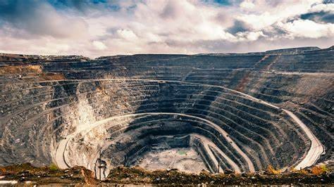
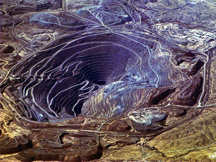
Locations of Deposits: Chicken-Blood Stone is particularly associated with regions in China, where it has been highly valued for centuries due to its cultural and spiritual significance. Some notable locations for Chicken-Blood Stone deposits include:
- Liaoning Province, China: The most famous source of Chicken-Blood Stone is found in the Panshi City area of Liaoning Province. This region has been a traditional center for the mining and carving of Chicken-Blood Stone.
- Inner Mongolia, China: Another significant source of Chicken-Blood Stone is located in Inner Mongolia, China. This region also produces high-quality specimens of the stone.
While China is the primary source of Chicken-Blood Stone, small quantities of similar jasper-like materials with red coloration can also be found in other parts of the world, often associated with hydrothermal and volcanic environments.
Mineral Composition and Properties

Mineral Composition: Chicken-Blood Stone, as a type of jasper, is composed primarily of microcrystalline quartz along with various mineral inclusions and impurities. The specific mineral composition can vary, but it typically includes:
- Quartz: The main component of Chicken-Blood Stone is quartz (silicon dioxide, SiO2), which forms the microcrystalline structure of the stone.
- Hematite and Iron Oxides: The vivid red color of Chicken-Blood Stone is attributed to the presence of hematite (iron oxide, Fe2O3) and other iron minerals. These impurities are responsible for the stone’s distinctive hue.
- Other Inclusions: Chicken-Blood Stone may contain other mineral inclusions, such as calcite, chalcedony, and jasper varieties, which can contribute to its patterns and textures.
Physical Properties: Chicken-Blood Stone exhibits a range of physical properties that contribute to its appearance and handling:
- Hardness: Chicken-Blood Stone has a hardness of approximately 6.5 to 7 on the Mohs scale, making it relatively durable and suitable for carving and jewelry use.
- Density: The density of Chicken-Blood Stone ranges between 2.65 to 2.66 g/cm³, which is similar to that of other quartz-based gemstones.
- Luster: The luster of Chicken-Blood Stone is typically vitreous (glass-like) to waxy, contributing to its attractive appearance when polished.
- Cleavage: Chicken-Blood Stone does not exhibit distinct cleavage due to its microcrystalline nature. Instead, it tends to fracture conchoidally, producing curved and smooth fracture surfaces.
Optical Properties: The optical properties of Chicken-Blood Stone influence its visual appeal and are important factors in gemstone identification:
- Color: The most notable feature of Chicken-Blood Stone is its deep red and maroon color, reminiscent of fresh chicken blood. The coloration is a result of the presence of iron oxides, particularly hematite, within the quartz matrix.
- Transparency: Chicken-Blood Stone is typically opaque, meaning that light does not pass through the stone. This opacity is due to its dense composition and the presence of mineral inclusions.
- Fluorescence: Some specimens of Chicken-Blood Stone may exhibit weak fluorescence when exposed to ultraviolet (UV) light. Fluorescence can vary from stone to stone and may include colors like yellow, orange, or greenish fluorescence.
In summary, Chicken-Blood Stone is characterized by its mineral composition, physical properties, and unique optical features. Its combination of red coloration, microcrystalline structure, and vivid patterns make it a sought-after gemstone for various artistic and ornamental purposes.
Varieties and Classification
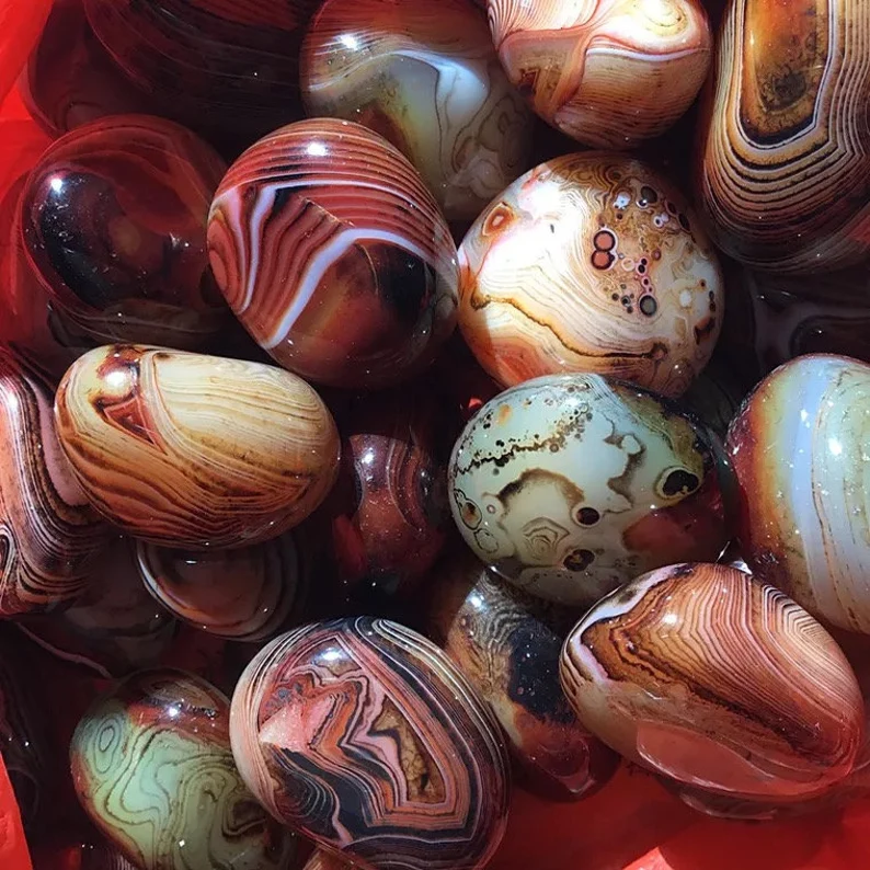
While Chicken-Blood Stone is primarily known for its deep red color and intricate patterns resembling flowing blood, there can be variations in color, patterns, and origin that contribute to the diversity of this gemstone. Here are some notable varieties and characteristics:
Varieties based on Color and Patterns:
- Classic Chicken-Blood Stone: This is the most recognized variety, featuring a rich and intense red color resembling fresh chicken blood. It often displays patterns and veins that mimic the fluid dynamics of blood, creating a visually captivating appearance.
- Chicken-Blood Stone with White Inclusions: Some specimens of Chicken-Blood Stone may contain white or light-colored inclusions, which create a striking contrast against the red background. These inclusions can form unique patterns, adding depth and visual interest to the stone.
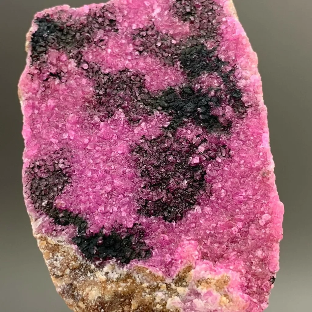
- Chicken-Blood Stone with Black Inclusions: In contrast to the white inclusion variety, this type of Chicken-Blood Stone contains dark or black inclusions. These inclusions can create a dramatic and bold contrast against the red base, giving the stone a distinct character.
Varieties based on Origin:
- Liaoning Chicken-Blood Stone: The classic source of Chicken-Blood Stone is from the Panshi City area in Liaoning Province, China. Stones from this region are known for their vibrant red color, intricate patterns, and historical significance.
- Inner Mongolian Chicken-Blood Stone: Another significant source of Chicken-Blood Stone is Inner Mongolia, China. Stones from this region may exhibit variations in color intensity and patterns, adding to the overall diversity of the gemstone.
Comparative Analysis of Variations:
When comparing different varieties of Chicken-Blood Stone, several unique characteristics and visual attributes stand out:
- Color Intensity: The classic Chicken-Blood Stone variety is characterized by its deep and intense red color, which is its most distinctive feature. Varieties with contrasting white or black inclusions offer different visual dynamics and can create striking patterns.
- Pattern Diversity: The patterns and veining in Chicken-Blood Stone can vary significantly between different specimens and sources. Some stones may have fine and intricate patterns, while others may exhibit broader and more dramatic veins.
- Contrast and Depth: Varieties with contrasting inclusions, such as white or black, create a sense of depth and visual intrigue within the stone. These inclusions enhance the overall appearance and may influence the choice of design when using the gemstone for artistic purposes.
- Origin Influence: Stones from different sources, such as Liaoning and Inner Mongolia, may display subtle variations in color, pattern, and overall character. Collectors and enthusiasts may have preferences for stones from specific regions based on these differences.
In conclusion, the varieties of Chicken-Blood Stone offer a range of color, pattern, and origin options for those interested in this unique gemstone. Each variety brings its own set of characteristics, allowing for artistic creativity and personal preferences to shine through in the use of this captivating and culturally significant gemstone.
Mineral Identification and Testing
Identifying Chicken-Blood Stone in both field and laboratory settings involves a combination of visual examination, physical tests, and analytical techniques. Here’s a guide to methods used for identification and testing:
Field Identification:
- Color and Appearance: The distinctive red color and patterns resembling flowing blood are key features of Chicken-Blood Stone. Observing these characteristics can provide a preliminary indication of the stone’s identity.
- Hardness Test: Chicken-Blood Stone has a hardness of 6.5 to 7 on the Mohs scale. Conducting a scratch test with materials of known hardness can help determine if the specimen matches this range.
- Luster and Texture: Chicken-Blood Stone typically has a vitreous to waxy luster and a smooth texture when polished. Feel the surface of the stone and examine its shine to assess its luster.
Laboratory Analysis:
- X-Ray Diffraction (XRD): XRD can be used to analyze the crystal structure of the stone’s minerals, confirming the presence of quartz and potentially identifying other crystalline phases.
- Spectroscopy (FTIR, Raman): Fourier Transform Infrared Spectroscopy (FTIR) and Raman spectroscopy can provide information about the molecular vibrations and chemical bonds present in the stone. These techniques can help identify specific mineral components and impurities.
- Microscopic Examination: Microscopy, including polarized light microscopy, can reveal details of the stone’s mineral composition, textures, and inclusions. This can aid in identifying characteristic patterns and features.
- UV-Visible Spectroscopy: This technique can help identify absorption bands and color-producing elements within the stone, shedding light on the origin of its coloration.
Tests to Distinguish from Other Minerals:
- Streak Test: Chicken-Blood Stone will produce a red or reddish-brown streak when scratched on an unglazed porcelain streak plate.
- Specific Gravity: Measure the stone’s weight in air and water to calculate its specific gravity. Chicken-Blood Stone typically has a specific gravity around 2.65 to 2.66.
- Fluorescence: Observe the stone’s fluorescence under ultraviolet (UV) light. Chicken-Blood Stone may exhibit weak fluorescence in colors like yellow, orange, or greenish.
- Chemical Tests: Acid testing (with caution) can be performed using diluted hydrochloric acid. Chicken-Blood Stone should not react to acid, as it primarily consists of quartz and iron oxides.
- Heat Test: Exposing a small sample of Chicken-Blood Stone to a flame or heat source can help identify its resistance to heat and potential changes in color.
Remember that accurate mineral identification often requires a combination of these methods. It’s important to exercise caution and use appropriate safety measures, especially when conducting chemical and heat tests. If you’re unsure about the identification of a specific specimen, consulting a professional gemologist or mineralogist is recommended.
Uses in Jewelry and Art

Chicken-Blood Stone’s captivating appearance, cultural significance, and unique patterns make it a sought-after material for various jewelry and artistic applications. Here are some of its prominent uses in jewelry and art:
Jewelry:
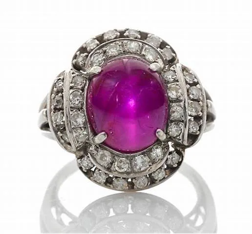
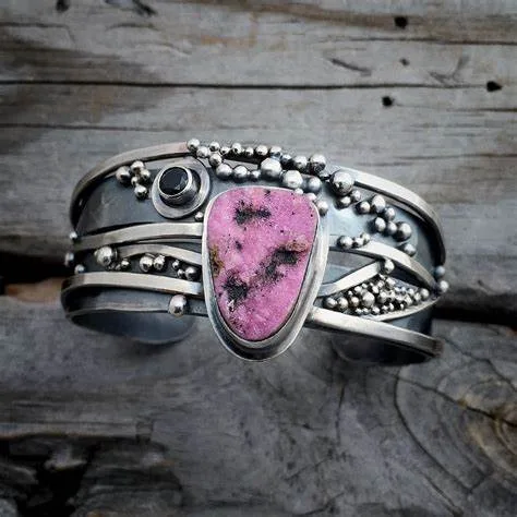
- Gemstone Cabochons: Chicken-Blood Stone is often cut into cabochons, which are polished, domed gemstones with a flat back. These cabochons can be set into rings, pendants, earrings, and bracelets, showcasing the stone’s vibrant red color and distinctive patterns.
- Carved Gemstone Jewelry: Skilled artisans create intricate carvings and engravings from Chicken-Blood Stone. These carvings can depict symbols, animals, mythical creatures, and other designs, making each piece of jewelry a unique work of art.
- Beads and Necklaces: Chicken-Blood Stone beads are used to create necklaces and bracelets. The beads can be combined with other gemstones or materials to create visually appealing and meaningful jewelry pieces.
- Amulets and Talismans: In Chinese culture, Chicken-Blood Stone is believed to possess protective and positive energy. As a result, it is often used to create amulets and talismans that are worn for spiritual and symbolic purposes.
Artistic Applications:
- Sculptures and Figurines: Chicken-Blood Stone’s rich color and intricate patterns lend themselves well to the creation of sculptures and figurines. Skilled artists carve the stone into detailed sculptures of animals, mythical creatures, and other forms, highlighting the stone’s natural beauty.
- Decorative Objects: Chicken-Blood Stone can be used to craft decorative objects such as vases, bowls, and decorative tiles. These objects showcase the stone’s colors and patterns, adding an artistic touch to interior spaces.
- Inlays and Mosaics: The stone’s vibrant red color can be used as inlays in various materials, such as wood or metal, to create intricate designs and mosaics. This technique adds a touch of luxury and uniqueness to furniture and other decorative items.
- Lapidary Art: Lapidarists use Chicken-Blood Stone to create a wide range of lapidary art, including cameos, intaglios, and engraved gemstones. These pieces often feature detailed designs and scenes carved into the surface of the stone.
- Cultural and Spiritual Artifacts: Chicken-Blood Stone holds cultural and spiritual significance in Chinese culture, making it a valuable material for crafting artifacts such as incense burners, prayer beads, and ritual objects.
Chicken-Blood Stone’s visual allure, coupled with its cultural and spiritual symbolism, allows it to be integrated into a variety of creative expressions. Whether used in jewelry or artistic creations, Chicken-Blood Stone adds a unique and captivating element that appeals to both aesthetic and cultural sensibilities.
Cultural and Symbolic Significance
Chicken-Blood Stone holds significant cultural and symbolic meaning, particularly in Chinese culture, where it has been revered for centuries. Its name “Ji Xue Shi” in Chinese directly translates to “Chicken-Blood Stone,” reflecting its vivid red color and its association with powerful symbolism. Here are some aspects of its cultural and symbolic significance:
1. Vitality and Energy: The rich red color of Chicken-Blood Stone is often associated with vitality, life force, and energy. In traditional Chinese beliefs, wearing or possessing Chicken-Blood Stone is thought to enhance one’s inner strength and physical well-being.
2. Protection and Warding Off Negative Energy: Chicken-Blood Stone is considered to have protective properties, serving as a shield against negative influences, ill intentions, and harmful energies. It is believed to create a barrier of positive energy around the wearer, helping to ward off malevolent forces.
3. Courage and Determination: The deep red color of Chicken-Blood Stone is seen as a symbol of courage, bravery, and determination. It is believed to instill confidence and empower individuals to face challenges and obstacles with strength and resilience.
4. Prosperity and Luck: Chicken-Blood Stone is often associated with luck and good fortune. In Chinese culture, wearing or displaying this stone is believed to attract positive opportunities, success, and prosperity.
5. Spiritual Balance: Chicken-Blood Stone is thought to promote harmony and balance between the physical and spiritual aspects of life. It is believed to help align one’s energies and promote a sense of grounding and stability.
6. Artistic and Craftsmanship: In addition to its spiritual significance, Chicken-Blood Stone is highly valued for its aesthetic appeal and is often used as a medium for intricate carvings, sculptures, and ornamental objects. Artisans create detailed figures, scenes, and decorative pieces that showcase the stone’s beauty and cultural importance.
7. Yin and Yang: In traditional Chinese philosophy, Chicken-Blood Stone’s contrasting red and white patterns can be interpreted as a representation of the yin and yang, symbolizing the balance between opposing forces and the interconnectedness of all things.
8. Feng Shui: Chicken-Blood Stone is used in Feng Shui practices to enhance the flow of positive energy (qi) and to create a harmonious and balanced environment. It may be placed strategically in homes or workplaces to promote well-being and prosperity.
Overall, Chicken-Blood Stone’s cultural and symbolic significance underscores its role as a talismanic gemstone that is believed to bring positive energies, protection, and a sense of connection to ancient traditions. Its use in jewelry, art, and spiritual practices reflects its enduring importance in Chinese culture and its ability to convey meaningful messages and beliefs.


")