")


Sapphirine

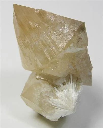
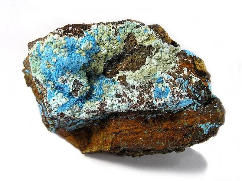
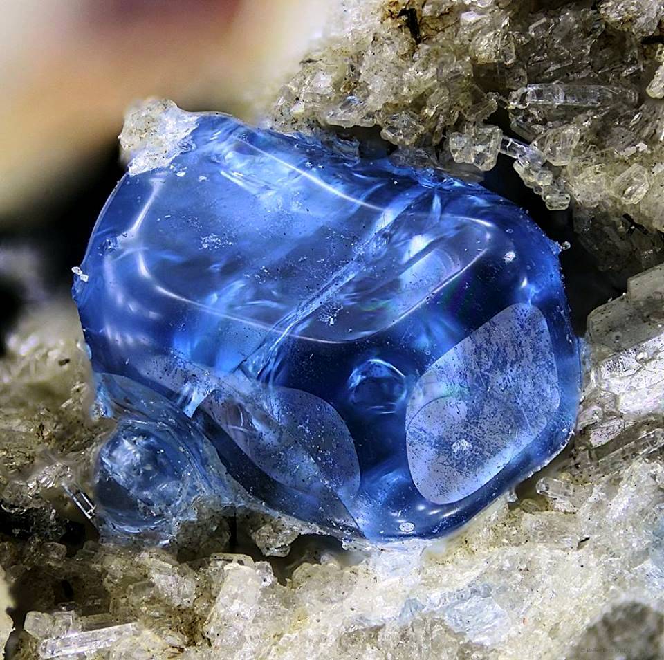
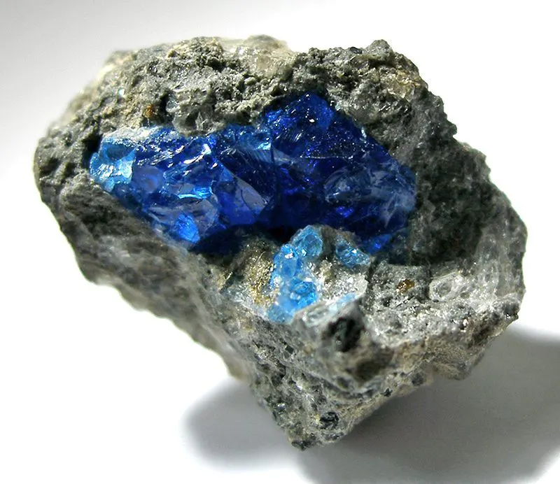
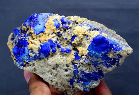
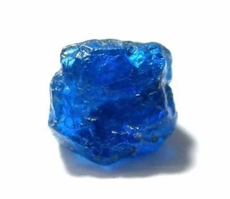
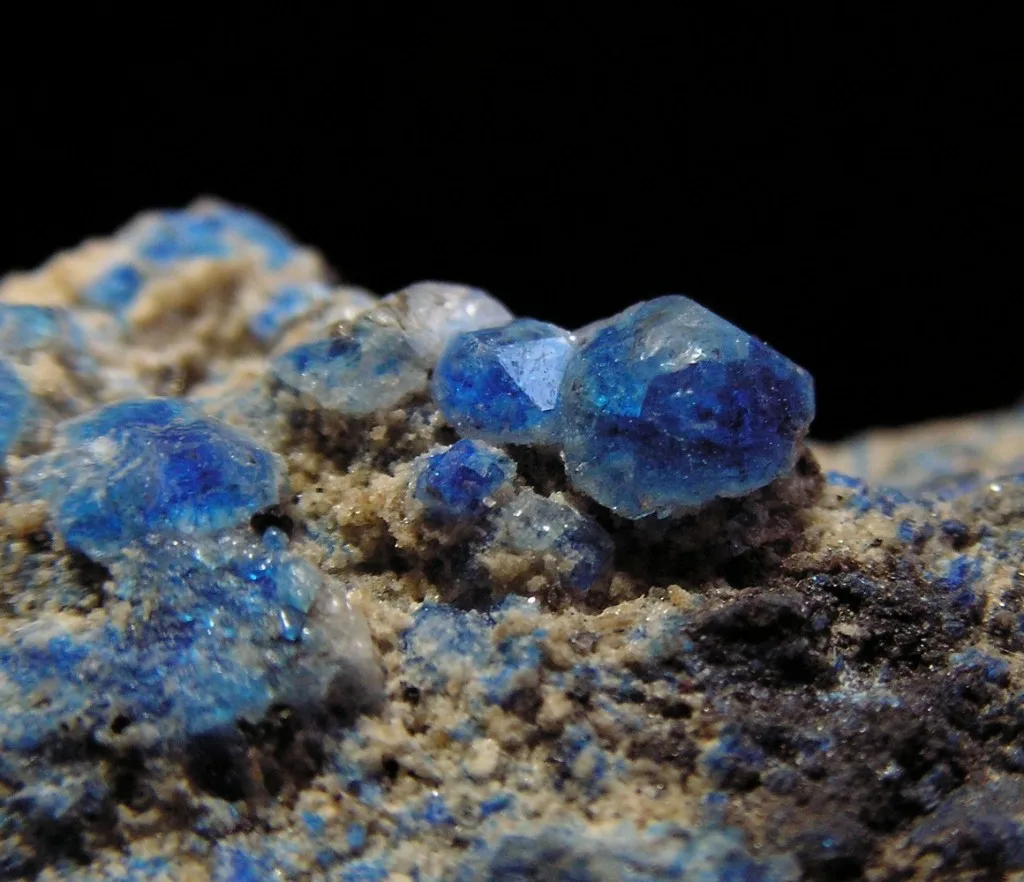
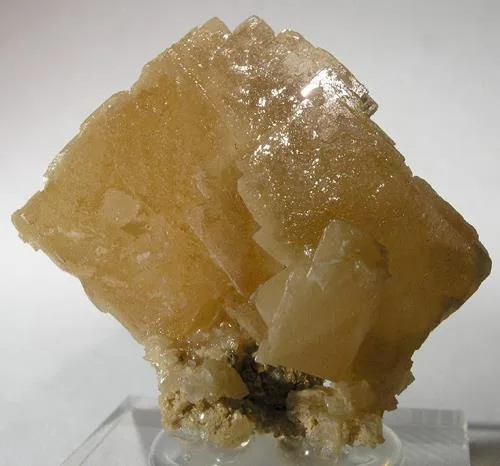
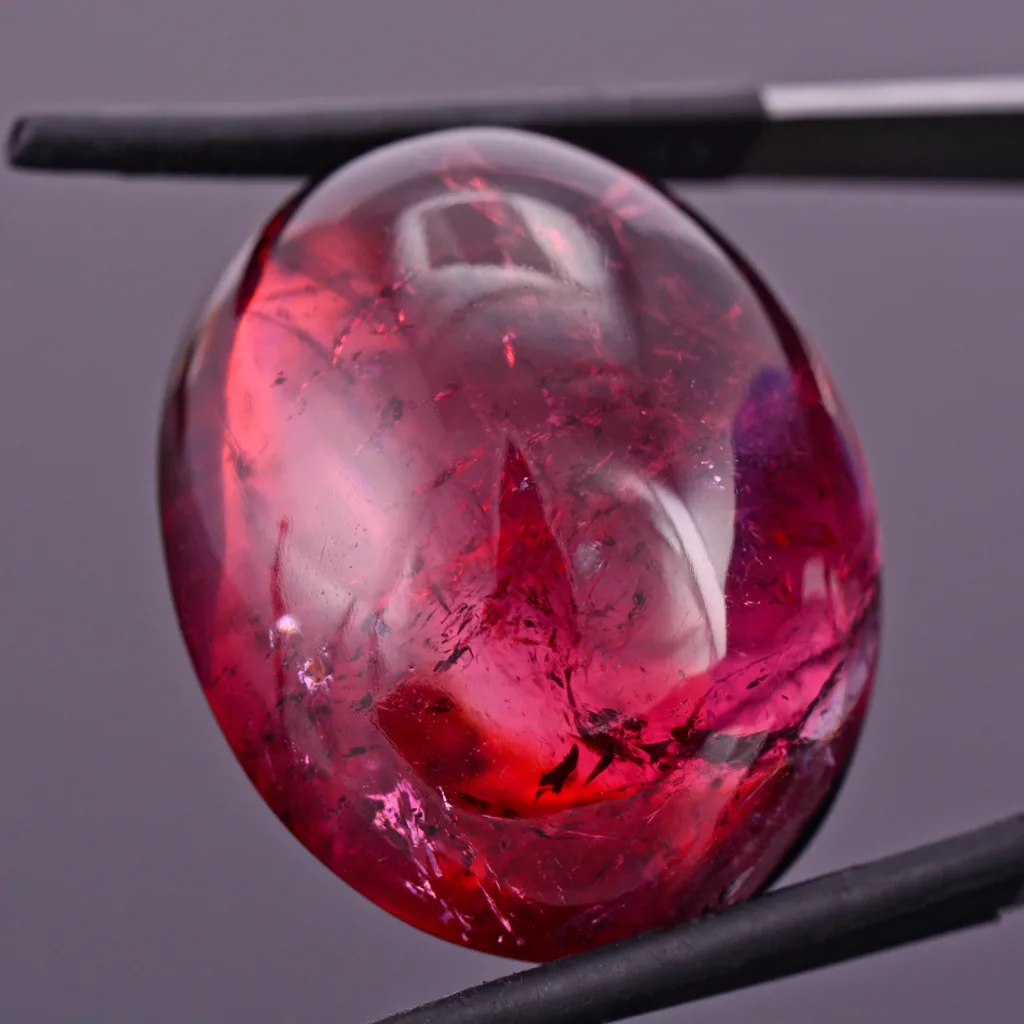
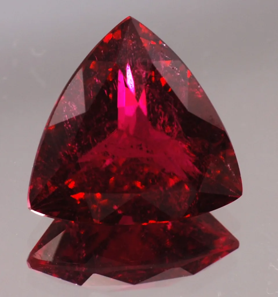
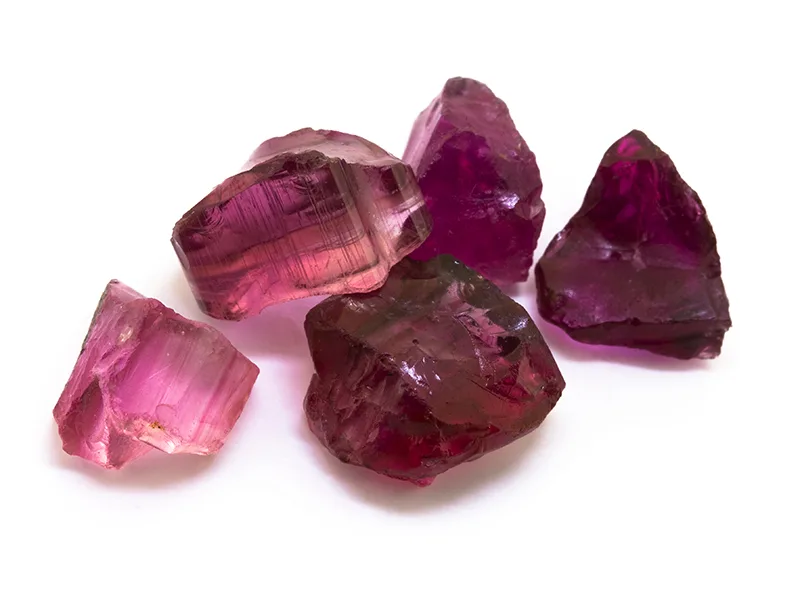
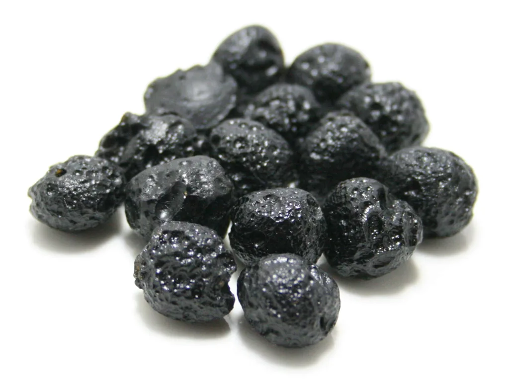
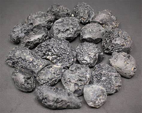
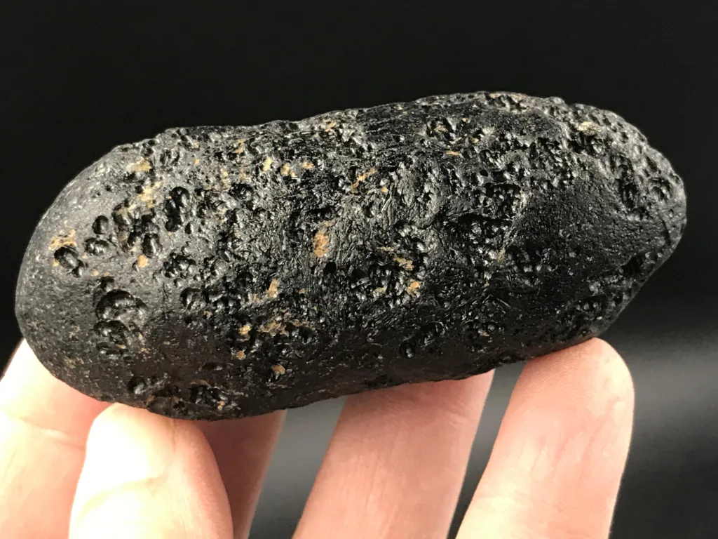
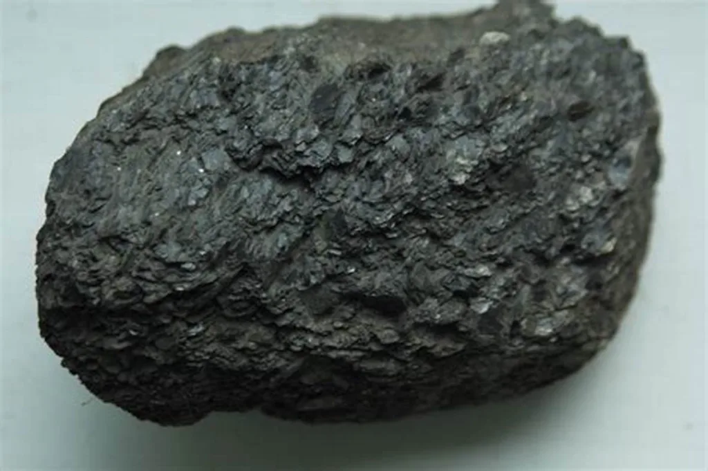
Sapphirine is a relatively rare mineral known for its captivating blue color and distinctive crystal structure. It belongs to the family of silicate minerals and is recognized for its role in providing insights into the geologic history and processes of high-grade metamorphism. Sapphirine is primarily sought after for its use in jewelry due to its exquisite hue, although its scarcity makes it less common in the gemstone market compared to other gem minerals like sapphire.

Sapphirine is a complex aluminum and magnesium-rich silicate mineral with the chemical formula (Mg,Al)_8(Si,Al)_6O_20. It belongs to the group of cyclosilicate minerals, characterized by rings of linked tetrahedral silicate units. These cyclosilicate structures give sapphirine its distinct crystalline appearance. Sapphirine’s name is derived from its vibrant blue color, which often resembles that of sapphire gemstones.
Chemical Composition and Crystal Structure:
The chemical composition of sapphirine can vary due to the substitution of aluminum and magnesium within its crystal structure. The crystal lattice consists of interconnected rings of six-membered silicate tetrahedra, forming a repeating pattern. The aluminum and magnesium ions can replace each other in the structure, leading to variations in color and properties. This complex arrangement of elements contributes to sapphirine’s unique physical and optical characteristics.
Historical Significance and Naming:
Sapphirine’s name is a nod to its resemblance to sapphire, one of the most famous and valuable gemstones. Its history is intertwined with the broader exploration of mineralogy and gemstones. The mineral was first identified in the early 19th century, and its blue coloration led to the association with sapphires. Although sapphirine is not as widely recognized as sapphire, it holds importance in the realm of geological research and in the jewelry market for collectors who appreciate its rarity and beauty.
Throughout history, various cultures have attributed different meanings to blue gemstones, often associating them with calmness, wisdom, and spiritual insight. Sapphirine’s rich blue color has likely contributed to its historical significance, connecting it with these symbolic interpretations.
In summary, sapphirine’s introduction involves understanding its rarity, its connection to sapphire, its complex chemical composition, and its significance in both geological exploration and the world of jewelry. As we delve deeper into its physical properties, occurrence, and applications, a comprehensive picture of sapphirine’s role in the natural world and human culture emerges.
Physical Properties of Sapphirine
Sapphirine possesses a range of physical properties that contribute to its distinctiveness and desirability. These properties make it a unique mineral with applications in both scientific research and the world of gemstones. Here are some of the key physical properties of sapphirine:
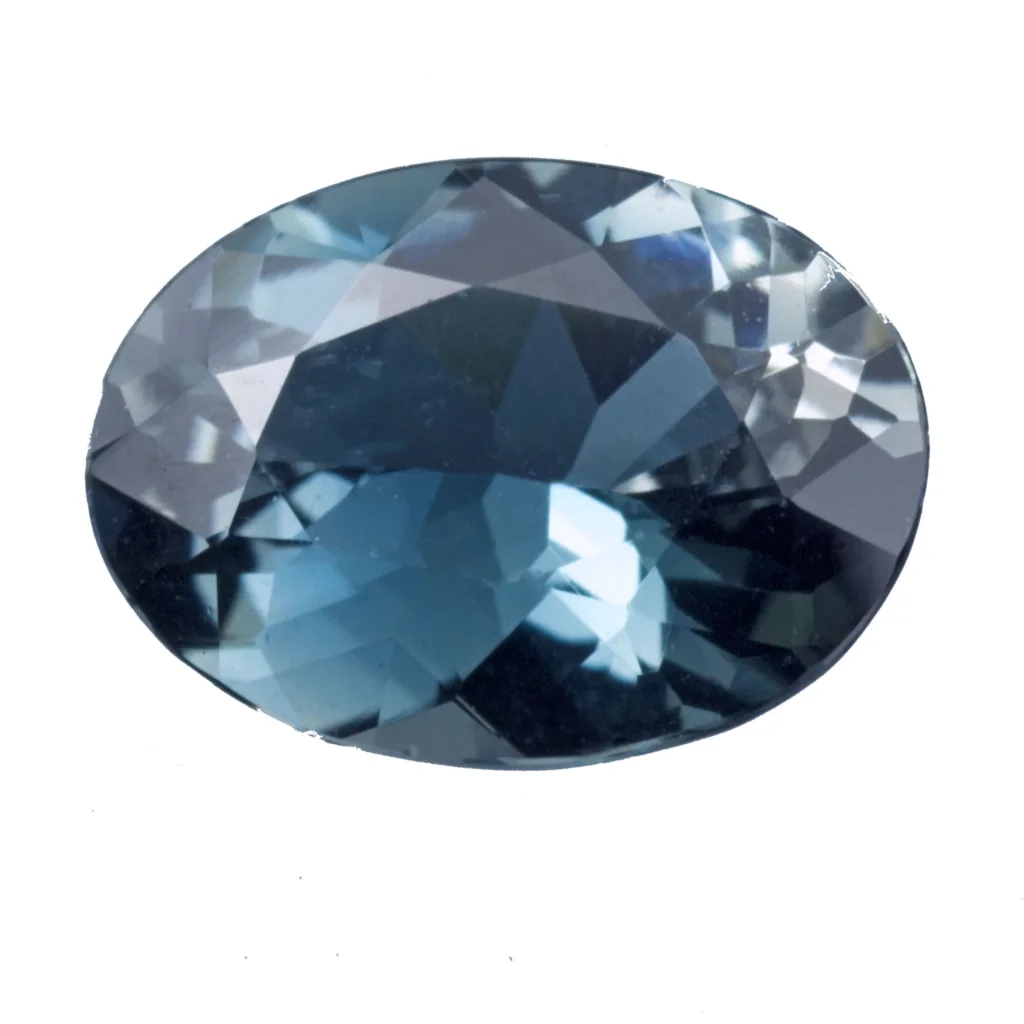
1. Color and Variations:
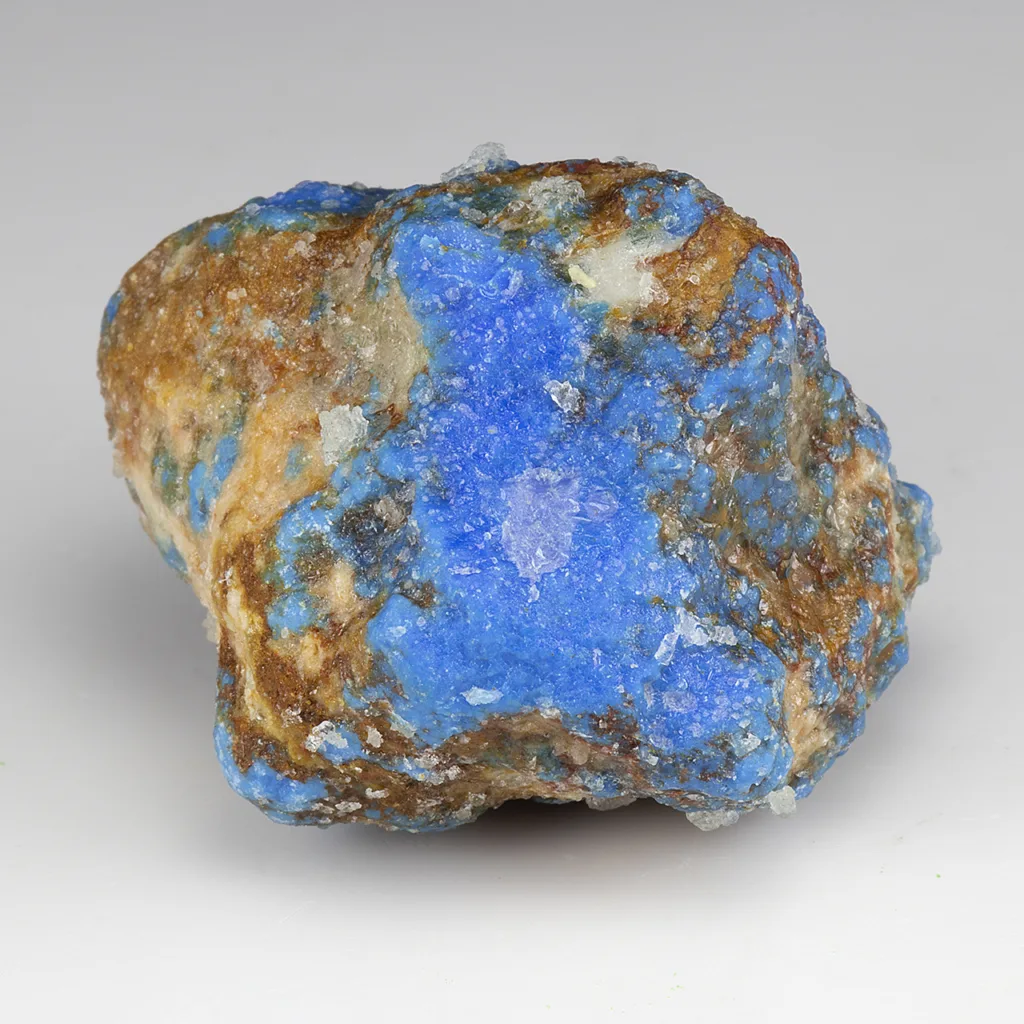
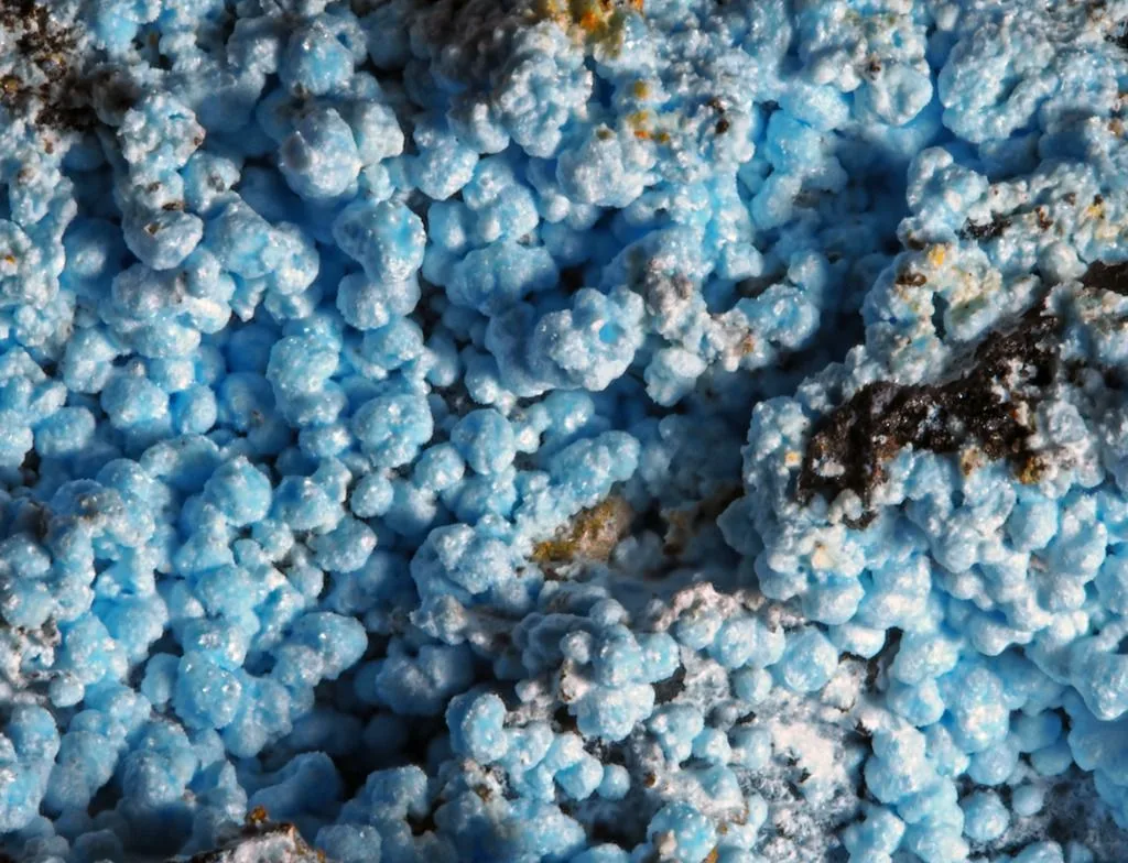
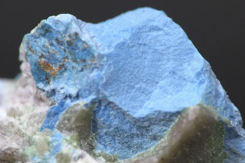
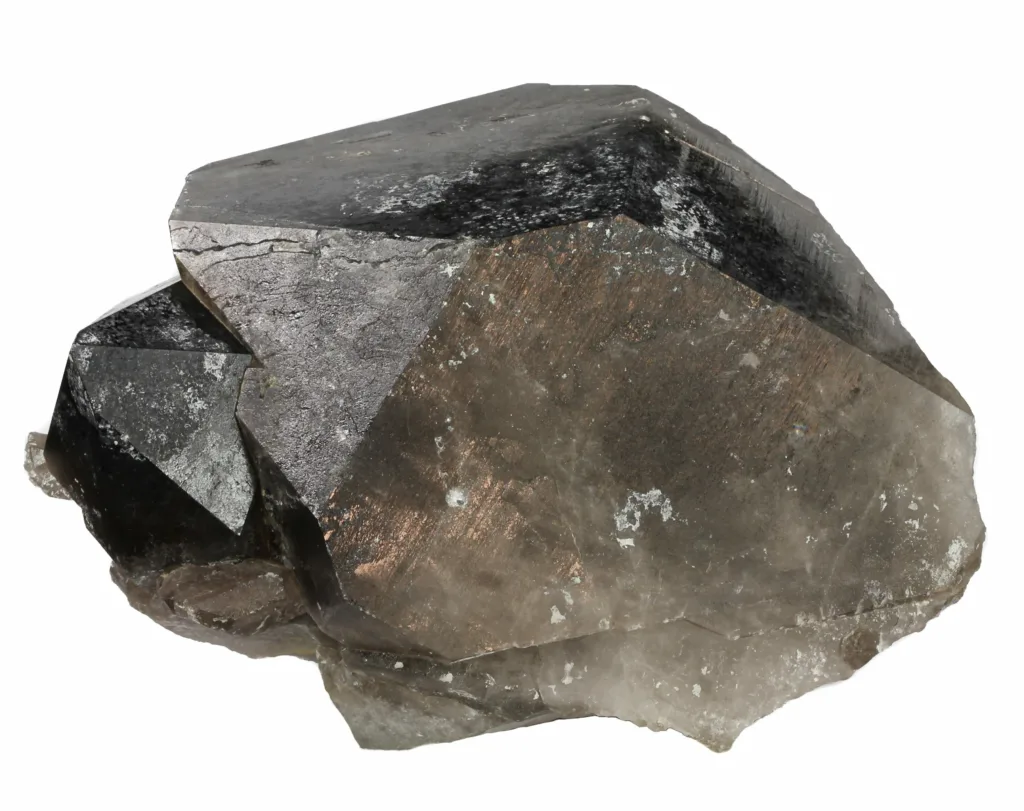
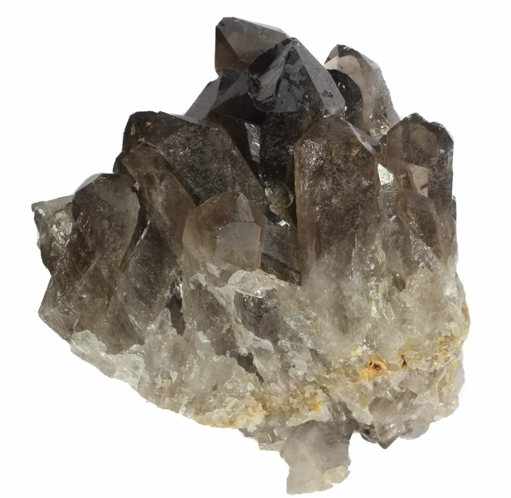
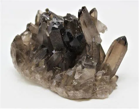
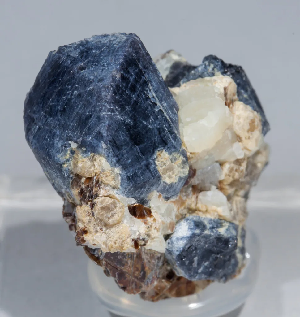
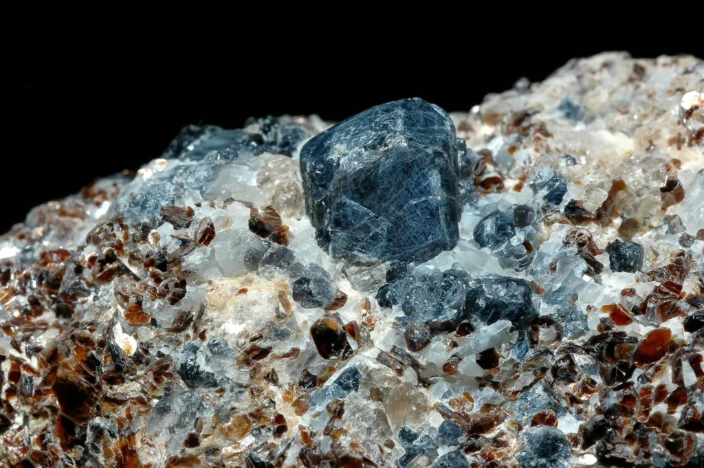
- Sapphirine is known for its striking blue color, often resembling the hues of sapphires. However, its color can vary, ranging from blue to bluish-green, green, gray, or brown. These color variations are a result of different elemental substitutions within its crystal lattice.
2. Hardness and Durability:
- Sapphirine has a hardness of 7.5 to 8 on the Mohs scale, which places it in the range of many other gemstones like quartz, topaz, and corundum. This hardness contributes to its durability, making it suitable for jewelry that may be subject to daily wear.
3. Luster and Transparency:
- Sapphirine typically exhibits a vitreous to sub-adamantine luster, giving it a bright and polished appearance when properly cut and polished. It is generally transparent to translucent, allowing light to pass through its crystal structure and enhancing its color and brilliance.
4. Cleavage and Fracture:
- Sapphirine has poor to indistinct cleavage, meaning it doesn’t break along specific planes with ease. Instead, it tends to exhibit conchoidal fracture, producing curved, shell-like surfaces when broken.
5. Density and Specific Gravity:
- The density of sapphirine varies depending on its composition, but it typically has a specific gravity ranging from 3.3 to 3.5. This value indicates that it is denser than water.
6. Refractive Index:
- Sapphirine’s refractive index is variable due to its chemical composition and color. It usually falls within the range of 1.686 to 1.725. This property influences how light is bent as it passes through the mineral, affecting its brilliance and sparkle.
7. Birefringence:
- Sapphirine exhibits birefringence, which is the difference in refractive indices between two perpendicular directions within the crystal. This property can cause a doubling of images when viewed through a polarizing microscope.
8. Pleochroism:
- Pleochroism is the phenomenon where a mineral shows different colors when viewed from different angles. Sapphirine often exhibits weak to moderate pleochroism, with varying shades of blue or greenish-blue, depending on the crystal orientation.
9. Optical Phenomena:
- Some sapphirine specimens may exhibit asterism, a phenomenon where a star-shaped pattern of reflections appears when the mineral is cut as a cabochon and exposed to direct light. This is caused by the presence of needle-like inclusions.
These physical properties collectively contribute to the overall appearance, durability, and uniqueness of sapphirine as a mineral and a gemstone. Gemologists, mineralogists, and jewelry enthusiasts are fascinated by these properties, and they play a significant role in determining sapphirine’s value and usability.
Occurrence and Formation of Sapphirine
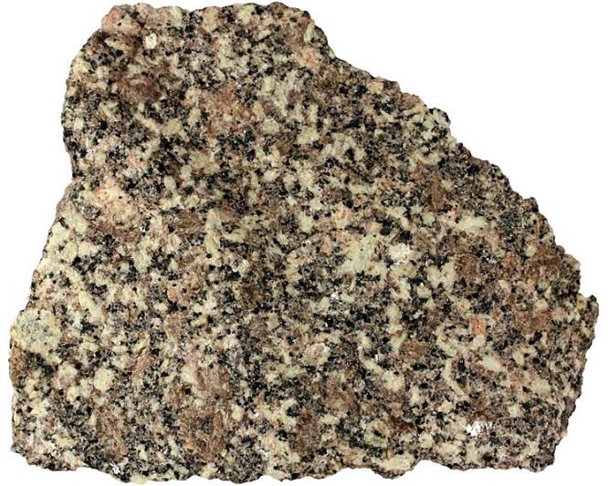
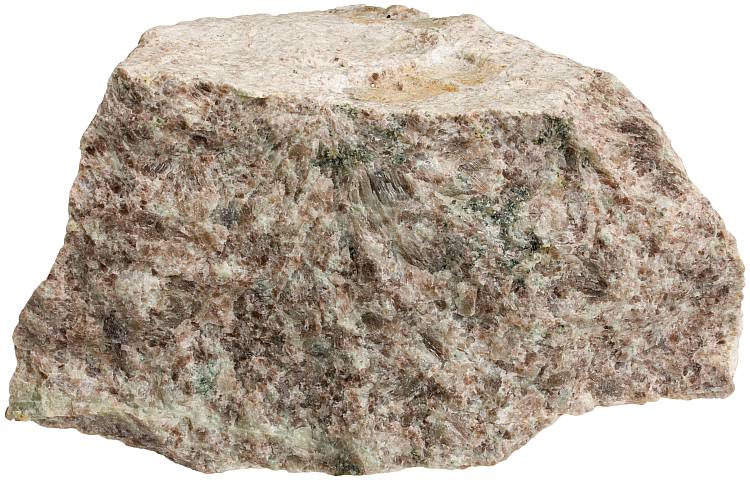
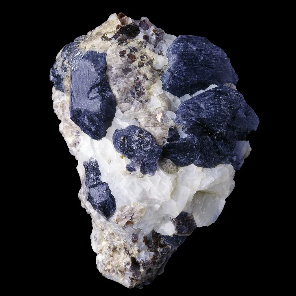
Sapphirine is a mineral that forms under specific geological conditions, primarily in high-grade metamorphic rocks. Its occurrence and formation are closely tied to the processes of regional metamorphism and the presence of suitable precursor rocks. Here’s an overview of how sapphirine is formed and where it is typically found:
1. Geological Settings:
- Sapphirine is most commonly found in high-grade metamorphic rocks, which have undergone significant temperature and pressure changes deep within the Earth’s crust. It is often associated with granulite facies metamorphism, which occurs at temperatures of 700 to 900°C and pressures of 6 to 12 kbar. These conditions are typically found in the lower continental crust.
2. Precursor Rocks:
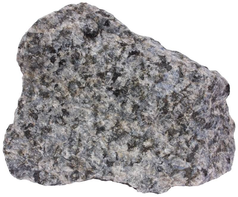
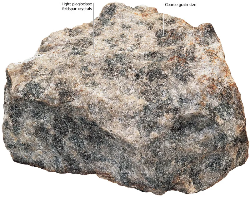
- Sapphirine forms from the metamorphism of magnesium-rich rocks, such as magnesium-rich gneisses, anorthosites, and mafic igneous rocks. These rocks provide the necessary elements for sapphirine’s composition, including aluminum, magnesium, and silicon.
3. Formation Processes:
- The formation of sapphirine is a complex process involving the recrystallization of minerals under extreme temperatures and pressures. During high-grade metamorphism, minerals in the precursor rocks undergo phase changes, leading to the growth of new minerals, including sapphirine. The exact mineral assemblages present during sapphirine formation depend on the composition of the precursor rocks and the specific metamorphic conditions.
4. Mineral Assemblages:
- Sapphirine is often found alongside other minerals that form under high-grade metamorphic conditions. These minerals may include orthopyroxene, clinopyroxene, garnet, plagioclase feldspar, and quartz. The presence of these minerals within the same rock can provide valuable insights into the pressure and temperature conditions during their formation.
5. Geographical Distribution:
- Sapphirine is relatively rare and is found in a limited number of locations around the world. Some notable deposits can be found in countries such as Madagascar, Sri Lanka, Myanmar (Burma), Australia, India, and parts of Africa. These deposits are often associated with regions that have undergone extensive metamorphism during Earth’s geological history.
6. Metamorphic History:
- The presence of sapphirine in a specific area can provide information about the geological history of the region. Studying the distribution, composition, and texture of sapphirine-bearing rocks can help geologists understand the tectonic events and processes that shaped the Earth’s crust over time.
In summary, sapphirine’s occurrence and formation are intimately tied to the geological conditions of high-grade metamorphism. It forms from magnesium-rich precursor rocks that undergo recrystallization under extreme temperature and pressure. Its presence in certain regions provides valuable insights into the Earth’s history and the processes that have shaped its crust.
Uses and Applications of Sapphirine

Sapphirine, with its captivating color and unique properties, finds applications both in the scientific field and the world of jewelry. Its scarcity and distinctive appearance contribute to its value and desirability in various contexts. Here are some of the primary uses and applications of sapphirine:
1. Gemstone and Jewelry Use:
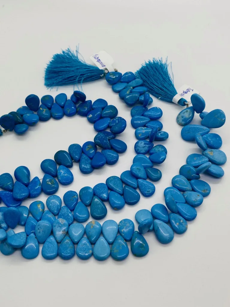
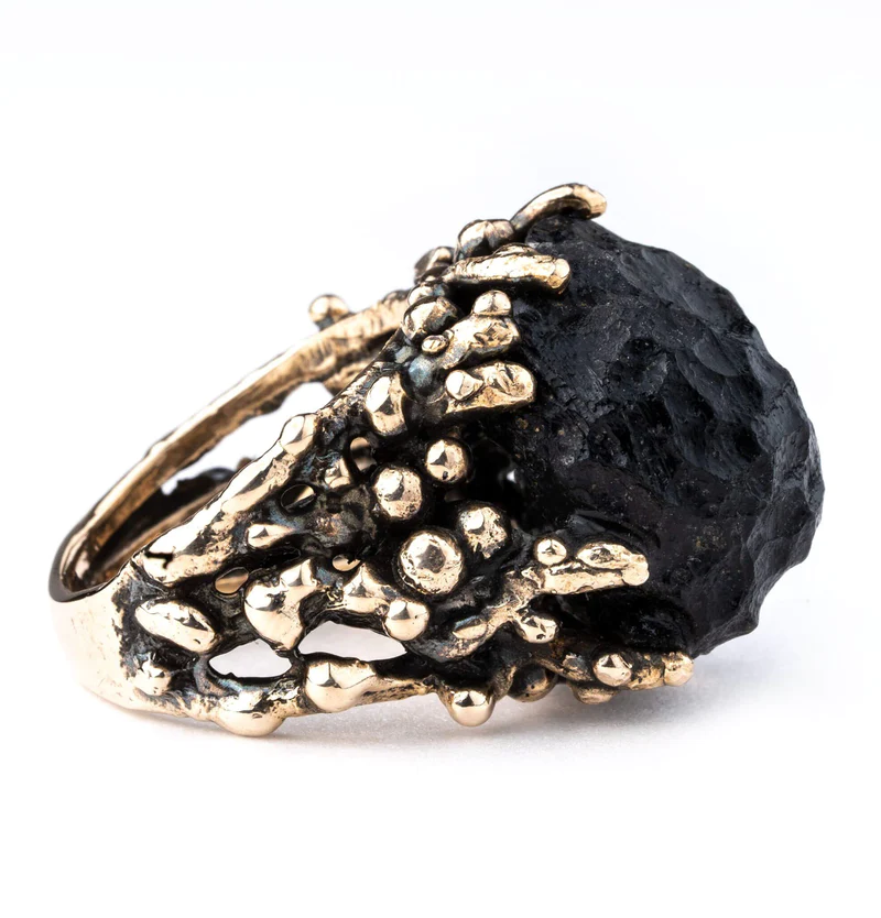
- Sapphirine’s vibrant blue color and attractive luster make it an appealing choice for jewelry. While not as well-known as other gemstones like sapphire, it is sought after by collectors and enthusiasts who appreciate its rarity and unique appearance. Sapphirine can be faceted into various cuts and shapes, such as cabochons or faceted gemstones, to create stunning jewelry pieces like rings, earrings, pendants, and more.
2. Collector’s Items:
- Due to its limited occurrence and distinctive features, sapphirine specimens are highly valued by mineral collectors. Specimens that display well-formed crystals, rich color, and unique inclusions can command high prices among collectors who seek exceptional and unusual minerals for their collections.
3. Scientific Research:
- Sapphirine-bearing rocks provide valuable insights into the geological history and processes of the Earth’s crust. Geologists study the mineral assemblages, textures, and chemical compositions of sapphirine to understand the metamorphic conditions under which it formed. By examining the presence of sapphirine and other minerals, scientists can reconstruct the tectonic and thermal history of specific regions.
4. Academic and Educational Purposes:
- Sapphirine’s rarity and geological significance make it a subject of interest in academic and educational settings. It is often used as a mineral example to teach students about mineral identification, crystallography, and the conditions required for its formation.
5. Historical and Cultural Significance:
- Gemstones have held cultural and historical significance in various societies throughout history. While sapphirine may not be as well-known as some other gemstones, it still contributes to the broader tradition of using gemstones for decorative and symbolic purposes.
6. Jewelry Design and Artistry:
- Jewelry designers and artisans appreciate sapphirine for its unique color and rarity. Its inclusion in jewelry designs can add an element of exclusivity and intrigue, appealing to those who seek unconventional and distinct pieces.
7. Research into Planetary Geology:
- Some terrestrial minerals, including sapphirine, can provide insights into processes occurring on other planets. Studying the formation and properties of minerals like sapphirine can aid scientists in understanding the geology of other celestial bodies.
In summary, sapphirine’s uses and applications span across the realms of jewelry, science, education, and artistic expression. Its rarity and distinctive qualities contribute to its value and versatility, making it a mineral of interest to a diverse range of individuals and industries.
Gemological Aspects of Sapphirine
Sapphirine, though relatively less known compared to some other gemstones, possesses unique gemological characteristics that make it intriguing to gemologists, collectors, and enthusiasts. These aspects play a crucial role in evaluating sapphirine’s quality, value, and desirability as a gemstone. Here are the key gemological aspects of sapphirine:
1. Color:
- Color is one of the most important factors influencing a gemstone’s appeal. Sapphirine’s color ranges from blue to bluish-green, green, gray, or brown. Intensity, hue, and uniformity of color significantly impact its value. Deep, vivid blue sapphirine is generally more sought after, closely resembling the color of sapphires.
2. Clarity:
- Clarity refers to the presence of internal and external imperfections within a gemstone. Sapphirine can exhibit various inclusions like mineral crystals, fractures, and growth features. While some inclusions are expected due to its natural formation, high clarity enhances its visual appeal. Transparent to slightly translucent specimens are preferred for faceted gemstones.
3. Cut:
- The cut of a gemstone influences its brilliance, sparkle, and overall visual appeal. Sapphirine can be fashioned into various cuts, including faceted gemstones with traditional or custom shapes and cabochons. Faceted sapphirine may exhibit pleasing light dispersion and scintillation when cut to maximize its optical properties.
4. Carat Weight:
- Carat weight refers to the mass of the gemstone and impacts its size. Large, well-cut sapphirine gemstones are rarer and can command higher prices due to their scarcity.
5. Phenomena:
- Some sapphirine specimens might exhibit asterism, a star-shaped pattern that appears when a cabochon-cut gemstone is exposed to direct light. This phenomenon is caused by the presence of needle-like inclusions, and asteriated sapphirine can be particularly captivating.
6. Imitations and Treatments:
- As with many gemstones, sapphirine can potentially be imitated or treated. It’s essential for gemologists and buyers to be aware of any treatments or enhancements that might affect the gemstone’s appearance and value. Natural sapphirine is generally considered more valuable than treated or synthetic alternatives.
7. Luster and Transparency:
- Sapphirine exhibits a vitreous to sub-adamantine luster, contributing to its visual appeal. The level of transparency influences its brilliance and overall appearance when used in jewelry.
8. Pleochroism and Birefringence:
- Sapphirine’s pleochroism, displaying different colors from different angles, and its birefringence, causing double images when viewed through a polarizing microscope, are unique optical properties that gemologists consider when analyzing and describing sapphirine.
In summary, sapphirine’s gemological aspects encompass color, clarity, cut, carat weight, and optical phenomena, among others. These factors collectively influence the gemstone’s value and desirability in both the collector’s market and the jewelry industry. Gemologists use their expertise to evaluate these aspects and provide valuable insights into the quality and authenticity of sapphirine gemstones.
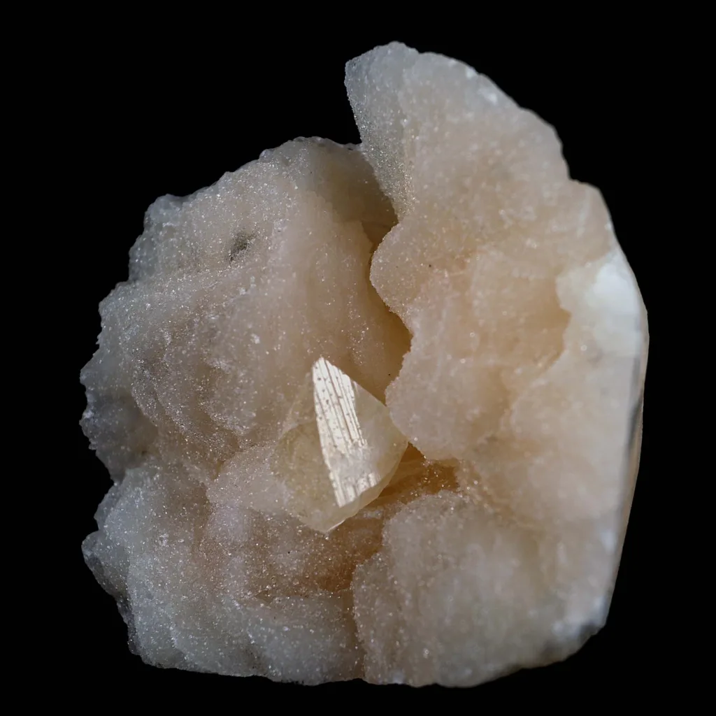
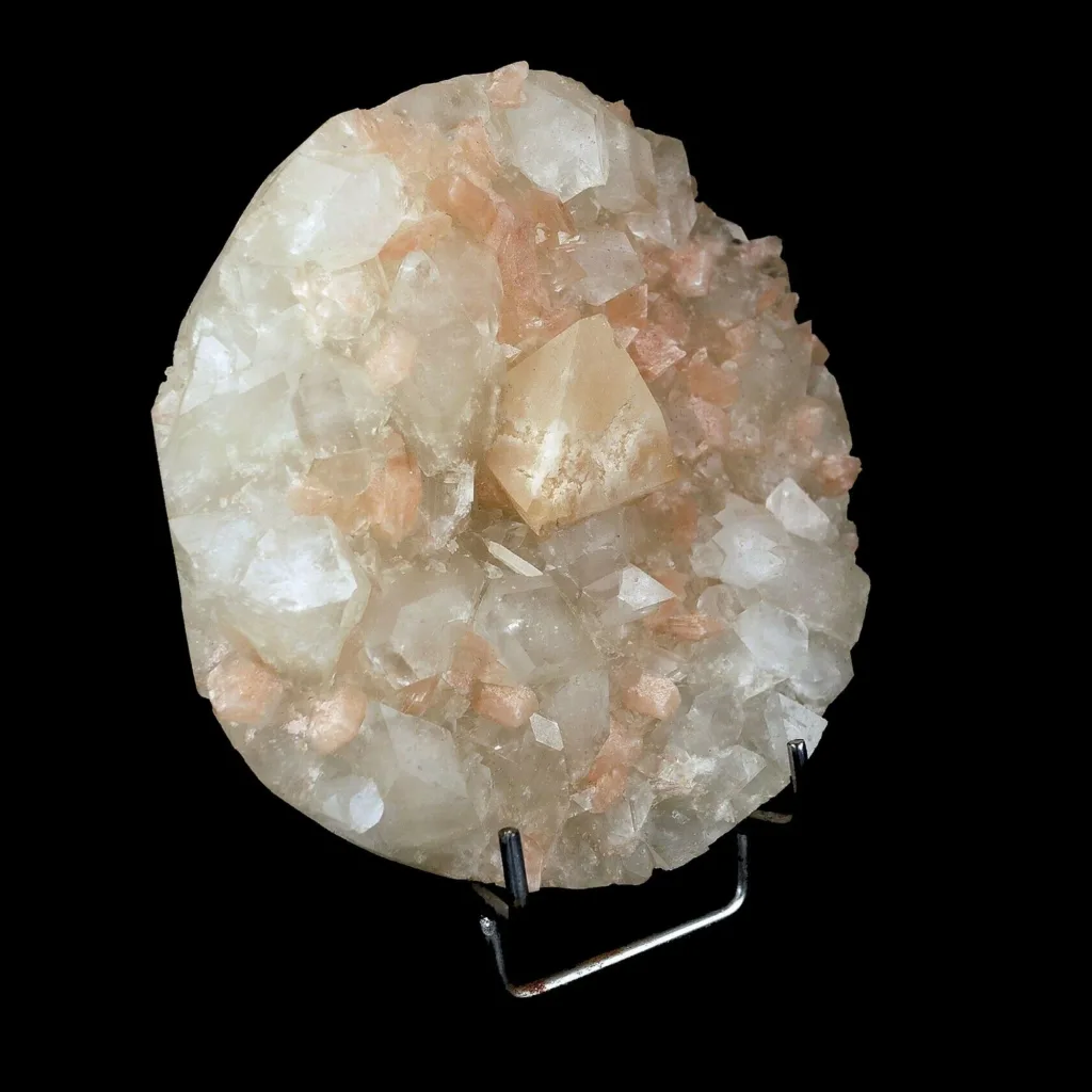
Notable Sapphirine Deposits

Notable deposits of sapphirine are found in various parts of the world, each contributing to our understanding of geological processes and the mineral’s unique properties. Here are some notable sapphirine deposits:
- Madagascar:
- Sri Lanka:
- Sapphirine has been found in Sri Lanka, a country renowned for its gemstones. These deposits contribute to the diversity of minerals found on the island and add to Sri Lanka’s status as a gemological hotspot.
- Myanmar (Burma):
- Myanmar is home to various gem deposits, including sapphirine. The Mogok region in Myanmar has produced sapphirine specimens alongside other gemstones like spinel and ruby. These deposits are famous for their exceptional mineral diversity.
- Australia:
- Australia hosts sapphirine deposits in regions like the New England area of New South Wales. These deposits are associated with high-grade metamorphic rocks and contribute to Australia’s rich geological heritage.
- India:
- Sapphirine has been discovered in India, specifically in regions with metamorphic rocks like Tamil Nadu. Indian deposits add to the global understanding of sapphirine’s occurrence in various geological settings.
- Africa:
- Sapphirine has been reported in several African countries, including Malawi, Kenya, and Tanzania. These deposits showcase the mineral’s occurrence across the African continent and provide insights into the region’s geological history.
It’s important to note that sapphirine is relatively rare, and deposits are not as widespread as those of more common gemstones. The exploration and discovery of sapphirine deposits continue to contribute to our understanding of mineral formation, geological processes, and the Earth’s history. Each deposit offers unique insights into the conditions under which sapphirine and associated minerals have formed.
Geological Significance of Sapphirine
Sapphirine holds significant value in the field of geology due to its role as an indicator mineral of high-grade metamorphism. Its presence in specific rock formations provides valuable insights into the geological history, tectonic processes, and conditions that shaped the Earth’s crust. Here’s how sapphirine’s geological significance is tied to high-grade metamorphism:
Indicator of High-Grade Metamorphism:
- Sapphirine forms under conditions of high temperature and pressure, characteristic of high-grade metamorphic environments. The presence of sapphirine in a rock indicates that the rock has undergone intense metamorphic processes, such as those occurring deep within the Earth’s crust. The specific temperature and pressure conditions required for sapphirine formation provide geologists with information about the depths at which these rocks were buried during their metamorphic history.
Petrological and Geophysical Implications:
- The discovery of sapphirine-bearing rocks has significant implications for the petrological and geophysical understanding of a region. By analyzing sapphirine and its associated minerals, geologists can deduce the pressure-temperature conditions that prevailed during the rock’s formation. This information helps reconstruct the geological history of the area, including tectonic events, burial depths, and uplift processes.
Insight into Crustal Evolution:
- Sapphirine’s occurrence provides a window into the geological evolution of a region. Its presence can indicate the presence of ancient continental crust or tectonic movements that subjected the rocks to high-grade metamorphism. Studying sapphirine-bearing rocks contributes to the broader understanding of how continents have evolved over millions of years.
Thermal Gradient and Depth Estimates:
- The mineral assemblages and textures associated with sapphirine can help estimate the temperature and pressure gradients within the Earth’s crust during metamorphism. This information aids in determining the depth at which the rocks formed and the subsequent uplift and erosion processes that brought them to the surface.
Geodynamic Processes:
- Sapphirine-bearing rocks are often associated with complex geological processes such as subduction zones, collisional events, and continental rifting. The presence of sapphirine in these contexts can shed light on the geodynamic forces that operated in the Earth’s lithosphere, influencing the formation and transformation of rock formations.
In summary, sapphirine’s geological significance lies in its role as an indicator of high-grade metamorphism and the conditions under which specific rocks have been subjected to extreme temperatures and pressures. Its presence and associated mineral assemblages provide valuable information about the geological history, tectonic processes, and thermal evolution of regions, contributing to a deeper understanding of the Earth’s dynamic crust.
Summary of Sapphirine
Sapphirine is a captivating mineral known for its striking blue color and unique crystal structure. Its significance spans across geological, gemological, and scientific domains. Here’s a concise summary of sapphirine:
1. Composition and Appearance:
- Sapphirine is a cyclosilicate mineral with a chemical formula (Mg,Al)_8(Si,Al)_6O_20.
- It comes in various colors, including blue, bluish-green, green, gray, and brown.
2. Geological Importance:
- Sapphirine’s occurrence in high-grade metamorphic rocks indicates intense geological processes, often associated with deep crustal environments.
- Its presence provides insights into the Earth’s tectonic history, thermal gradients, and crustal evolution.
3. Gemological Features:
- Sapphirine is sought after for its use in jewelry due to its color and luster.
- It has a hardness of 7.5 to 8 on the Mohs scale, making it durable for jewelry.
- Pleochroism, birefringence, and asterism (star effect) are some of its optical characteristics.
4. Geological and Petrological Research:
- Sapphirine-bearing rocks contribute to studies of metamorphic processes, pressure-temperature conditions, and tectonic events.
- Its presence aids in estimating the depth and history of rock formations within the Earth’s crust.
5. Geographic Distribution:
- Notable sapphirine deposits are found in Madagascar, Sri Lanka, Myanmar, Australia, India, and parts of Africa.
6. Cultural and Historical Significance:
- While not as well-known as sapphires, sapphirine has historical and cultural significance associated with its color and gemological properties.
7. Gemstone and Collector’s Item:
- Sapphirine is used in jewelry for its beauty and rarity, and it’s also valued by mineral collectors for its unique characteristics.
8. Scientific Exploration:
- Sapphirine contributes to scientific understanding of metamorphic processes, rock formation, and crustal dynamics.
9. Responsible Sourcing:
- As with all gemstones, ethical and sustainable sourcing practices are important when dealing with sapphirine.
In summary, sapphirine is a mineral that bridges the worlds of geology and gemology. Its presence in high-grade metamorphic rocks offers a glimpse into the Earth’s past, while its vibrant color and properties make it a gemstone of interest and beauty. Sapphirine’s rarity and unique qualities ensure its continued exploration and appreciation in both scientific and aesthetic contexts.
Sapphirine and Sapphire Difference

Sapphirine and sapphire are two different gemstones, both known for their blue color, but they have distinct properties and characteristics.
- Sapphire: Sapphire is a precious gemstone belonging to the corundum mineral family. Corundum is an aluminum oxide mineral with the chemical formula Al₂O₃. While sapphires are most commonly known for their deep blue color, they can actually occur in a wide range of colors, except for red. Red corundum is known as ruby, and all other colors are considered sapphires. The blue color is due to the presence of trace amounts of iron and titanium in the crystal structure.
Sapphires are highly valued for their brilliance, durability (second only to diamonds), and vibrant colors. They are often used in jewelry, including rings, necklaces, earrings, and bracelets. Sapphires are also the birthstone for September.
- Sapphirine: Sapphirine is a relatively rare mineral that belongs to the silicate mineral group. Its chemical formula is (Mg,Al)₈(Al,Si)₆O₂₄. Sapphirine comes in various colors, including blue, green, gray, brown, and violet. Unlike sapphire, sapphirine is not commonly used in jewelry due to its scarcity and relative obscurity.
Sapphirine is typically found in metamorphic rocks and forms under high-pressure, high-temperature conditions. Its crystal structure is complex, and its distinct colors are often due to the presence of different elements and their variations in the mineral’s composition.
In summary, sapphire is a well-known gemstone with a deep blue color, while sapphirine is a much rarer mineral that comes in various colors and is not widely used in jewelry.