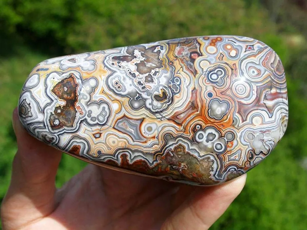
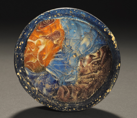
Illite

Illite is a type of clay mineral that belongs to the group of non-expanding or non-swelling phyllosilicate minerals. It is a common constituent of sedimentary rocks, such as shale, and can also be found in soils and weathered rocks. Illite is composed of tiny flat particles or plates that are less than 2 microns in size, which give it a characteristic smooth feel and a silvery appearance. Its chemical composition is generally similar to that of other clay minerals, consisting mainly of alumina, silica, and water, but may also contain small amounts of other elements such as potassium, magnesium, and iron. Illite is used in a variety of applications, including as a drilling mud additive in oil and gas exploration, as a filler in paper and paint, and as a soil conditioner in agriculture.

Physical and chemical properties of illite
Illite is a type of clay mineral with the following physical and chemical properties:
Physical properties:
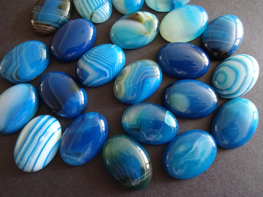
- Color: Typically pale yellow, gray, green, or white
- Luster: Dull to pearly
- Transparency: Translucent to opaque
- Hardness: 1 to 2 on the Mohs scale
- Cleavage: Perfect basal cleavage in one direction
- Density: 2.6 to 2.9 g/cm³
- Texture: Fine-grained, platy, and smooth to the touch
Chemical properties:
- Chemical formula: (K,H3O)(Al,Mg,Fe)2(Si,Al)4O10[(OH)2,(H2O)]
- Composition: Contains mostly alumina, silica, and water, with minor amounts of other elements such as potassium, magnesium, and iron.
- Solubility: Insoluble in water and organic solvents.
- pH: Typically neutral to slightly acidic.
- Swelling properties: Illite does not have significant swelling properties, unlike other clay minerals such as smectite.
- Thermal stability: Illite is stable up to temperatures of around 600°C, after which it begins to break down.
Overall, the physical and chemical properties of illite make it useful in a variety of industrial and geological applications, such as oil and gas drilling, agriculture, and geologic studies.

Crystal structure of illite
Illite has a layered crystal structure that belongs to the phyllosilicate group of minerals. The basic building block of illite is a layer consisting of two tetrahedral sheets and one octahedral sheet. The tetrahedral sheets are composed of silicon and oxygen atoms arranged in a four-fold coordination, while the octahedral sheet is composed of aluminum, magnesium, or iron cations coordinated with hydroxyl groups. The layers are held together by weak van der Waals forces, which allow them to slide past each other easily.
The layers in illite are arranged in a repeating sequence, with each layer being separated by an interlayer space. This interlayer space can accommodate cations such as potassium and hydrogen, which are necessary for the stability of the mineral. The interlayer cations and the water molecules associated with them give illite its characteristic ability to swell slightly in the presence of water, although this swelling is much less than that seen in other clay minerals such as smectite.
The crystal structure of illite is similar to that of other clay minerals such as montmorillonite and kaolinite, but with some key differences in the arrangement of the tetrahedral and octahedral sheets. These differences give illite its distinctive properties and make it an important mineral in a variety of geological and industrial applications.
Comparison of illite with other clay minerals
Illite is one of several clay minerals, each with its own distinct characteristics and properties. Here are some comparisons of illite with other common clay minerals:
- Illite vs. kaolinite: Both illite and kaolinite are common clay minerals found in soils and sediments. However, they differ in their crystal structure and properties. Illite has a layered structure with two tetrahedral sheets and one octahedral sheet, while kaolinite has a layer structure with one tetrahedral sheet and one octahedral sheet. Illite is more resistant to weathering than kaolinite, which makes it a useful indicator mineral for certain geological environments.
- Illite vs. smectite: Smectite is another common clay mineral with a layered structure, but unlike illite, it has a significant ability to expand and contract in the presence of water. This property is due to the presence of interlayer cations, which can be exchanged with other cations in solution. Illite, on the other hand, has a limited ability to swell in water and does not undergo significant changes in volume.
- Illite vs. chlorite: Chlorite is a clay mineral that is similar in appearance to illite, but it has a different crystal structure and composition. Chlorite has a layered structure with one tetrahedral sheet and two octahedral sheets, and it contains more magnesium and iron than illite. Chlorite is often associated with metamorphic rocks, while illite is more commonly found in sedimentary rocks.
Overall, each of these clay minerals has its own unique properties and applications. Illite’s layered structure and stability make it useful in a variety of industrial and geological contexts, from oil and gas exploration to soil science and geochronology.
Formation of illite
Illite is primarily formed by the weathering and alteration of other minerals, such as feldspars, micas, and volcanic glass, in the presence of water and atmospheric gases. The process of illite formation generally involves the following steps:
- Dissolution: The mineral that is being altered, such as a feldspar, begins to dissolve in the presence of water and atmospheric gases.
- Hydrolysis: Water molecules react with the dissolved mineral to break apart its crystal structure and release cations into solution.
- Precipitation: The released cations combine with other elements, such as silica and aluminum, to form new minerals. In the case of illite, these new minerals form a layered crystal structure consisting of two tetrahedral sheets and one octahedral sheet.
- Stabilization: The newly formed illite crystal may undergo further changes in composition and structure as it interacts with its environment, such as taking up interlayer cations to stabilize the crystal structure.
The formation of illite is most commonly associated with sedimentary environments, such as the diagenesis of shale or the alteration of volcanic ash deposits. It can also form in hydrothermal environments, such as in the alteration of igneous rocks, and as a result of metamorphism. The specific conditions of temperature, pressure, and chemical composition in these environments can affect the characteristics and properties of the resulting illite mineral.
Factors influencing illite formation
The formation of illite can be influenced by a number of factors, including:
- Parent rock composition: The mineralogy and chemistry of the rock that is being altered can affect the formation of illite. For example, rocks rich in feldspars, micas, or volcanic glass are more likely to generate illite during weathering and alteration.
- Climate: The temperature, humidity, and precipitation patterns in a given region can affect the rate and extent of weathering and alteration, and therefore the formation of illite. For example, warm, humid climates with frequent rainfall can promote more intense weathering and alteration, leading to greater formation of illite.
- Time: The duration of weathering and alteration processes can influence the amount and characteristics of the resulting illite mineral. Longer periods of exposure to weathering and alteration can result in more extensive and stable illite formation.
- Hydrology: The presence and movement of water can greatly affect the formation of illite. Water can act as a solvent and transport medium for dissolved minerals, and can also influence the chemical reactions and exchange processes that lead to the formation of illite.
- Pressure and temperature: In certain environments, such as hydrothermal systems or during metamorphism, pressure and temperature can play a critical role in the formation of illite. These conditions can affect the crystal structure and composition of the resulting illite mineral, leading to variations in its properties and characteristics.
Overall, the formation of illite is a complex process that can be influenced by a variety of factors. Understanding these factors and their interactions can help geologists and other scientists better predict the occurrence and properties of illite in various geological and industrial settings.
Types of illite
Illite is a group of clay minerals that can have variations in their composition, crystal structure, and physical properties. Here are some types of illite:
- Common illite: This is the most common type of illite and is found in a variety of sedimentary and metamorphic rocks. It typically has a pale yellow or green color and a fine-grained texture.
- Glauconite: This is a green-colored variety of illite that is found in marine sediments. It is often associated with organic matter and is formed through a combination of biological and chemical processes.
- Authigenic illite: This type of illite is formed in place, rather than being transported from another location. It is commonly found in shale and other sedimentary rocks and can have variable crystal sizes and compositions.
- Diagenetic illite: This is a type of illite that is formed during the early stages of diagenesis, which is the process by which sediment is transformed into rock. Diagenetic illite can have a range of crystal sizes and compositions and is often associated with shale and other fine-grained sedimentary rocks.
- Hydrothermal illite: This is a type of illite that forms in hydrothermal systems, where fluids are heated and under high pressure. Hydrothermal illite can have a coarser crystal structure than other types of illite and may contain interlayer cations, which can affect its properties and stability.
These are just a few examples of the types of illite that can be found in various geological environments. The specific characteristics and properties of each type of illite depend on the conditions under which it was formed and can be studied through various analytical techniques, such as X-ray diffraction and electron microscopy.
Distribution of illite
Illite is a common mineral that is found in a wide range of geological settings. Here are some examples of where illite can be found:
- Sedimentary rocks: Illite is commonly found in fine-grained sedimentary rocks, such as shale and mudstone. These rocks are typically formed from the accumulation of sediment in marine or lacustrine environments, and illite can form through the alteration of other minerals, such as feldspars or volcanic ash.
- Metamorphic rocks: Illite can also be found in metamorphic rocks, which are formed when existing rocks are subjected to high temperatures and pressures. In these environments, illite can form through the alteration of other minerals, such as micas or feldspars.
- Hydrothermal systems: Illite can be formed in hydrothermal systems, where hot fluids circulate through rocks and alter their mineralogy. Hydrothermal illite is typically associated with vein deposits or mineralized zones.
- Soils: Illite is a common component of soils, where it can be formed through weathering and alteration of minerals in the parent rock. It can play an important role in soil fertility and nutrient cycling.
- Industrial applications: Illite is also used in a variety of industrial applications, such as in the production of ceramics, paints, and drilling muds.
Overall, illite is a versatile mineral that is found in a variety of geological and industrial settings. Its properties and characteristics can vary depending on the specific environment in which it is found and the processes that led to its formation.
Applications of illite
Illite has a variety of applications in various industries due to its unique physical and chemical properties. Here are some of the major applications of illite:
- Ceramics: Illite is commonly used as a raw material in the production of ceramics due to its ability to form strong and durable structures. It can be mixed with other materials such as kaolin and feldspar to create a ceramic body that can be fired at high temperatures to form a hard and dense product.
- Paints and coatings: Illite is also used in the production of paints and coatings as a filler or extender material. It can improve the strength and durability of the paint and also provide a smooth and uniform finish.
- Drilling fluids: Illite is used in the oil and gas industry as a component of drilling fluids, which are used to lubricate and cool the drill bit and transport the cuttings to the surface. Illite can help to stabilize the borehole and prevent the collapse of the wellbore.
- Agriculture: Illite is used in agriculture as a soil conditioner and fertilizer due to its ability to hold onto water and nutrients. It can help to improve soil fertility and increase crop yields.
- Medical and cosmetic products: Illite is also used in the production of medical and cosmetic products, such as face masks and skin creams. It can help to absorb excess oil and impurities from the skin and improve its overall appearance.
These are just a few examples of the many applications of illite. Its unique properties and versatile nature make it an important mineral in a variety of industries.
Summary of key points
- Illite has a layered crystal structure that consists of sheets of silicon, oxygen, and aluminum that are held together by water molecules.
- Illite is a type of phyllosilicate mineral that has a high cation exchange capacity and can absorb and exchange ions with its surroundings.
- Illite is commonly used in various industrial applications, such as in the production of ceramics, paints, drilling fluids, and agricultural products.
- The formation of illite is influenced by a range of factors, such as temperature, pressure, pH, and the presence of certain elements and minerals.
- Illite can have different types and variations, including common illite, glauconite, authigenic illite, diagenetic illite, and hydrothermal illite.
- Illite can be identified and studied using various analytical techniques, such as X-ray diffraction and electron microscopy.
Overall, illite is a versatile mineral that has a wide range of uses and is an important component of many geological and industrial systems.
FAQ
Q: What is the difference between illite and kaolinite?
A: Illite and kaolinite are both types of clay minerals, but they have different crystal structures and chemical compositions. Illite has a layered crystal structure and contains aluminum, potassium, and magnesium, while kaolinite has a sheet-like structure and contains aluminum and silicon.
Q: Is illite harmful to human health?
A: Illite is generally considered to be non-toxic and safe for human use. It is commonly used in medical and cosmetic products due to its ability to absorb excess oil and impurities from the skin.
Q: Can illite be used as a substitute for bentonite in drilling fluids?
A: Yes, illite can be used as a substitute for bentonite in drilling fluids, although it may have different properties and characteristics. Illite has a higher viscosity and lower swelling capacity than bentonite, which can affect its performance in drilling operations.
Q: What is the origin of the name “illite”?
A: The name “illite” is derived from the name of the French village of Illiers, where the mineral was first identified and described in the mid-19th century.
Q: How is illite formed in sedimentary rocks?
A: Illite is commonly formed in sedimentary rocks through the alteration of other minerals, such as feldspars or volcanic ash. This process involves the exchange of ions between the original mineral and the surrounding fluids, leading to the formation of illite.
Q: What is the difference between illite and smectite?
A: Illite and smectite are both types of clay minerals, but they have different crystal structures and properties. Illite has a layered structure and a high cation exchange capacity, while smectite has a sheet-like structure and a very high swelling capacity.
Q: Can illite be used as a soil conditioner?
A: Yes, illite can be used as a soil conditioner due to its ability to hold onto water and nutrients. It can improve soil fertility and increase crop yields.
Q: How is illite identified and studied?
A: Illite can be identified and studied using various analytical techniques, such as X-ray diffraction, scanning electron microscopy, and energy-dispersive X-ray spectroscopy. These techniques can provide information on the mineral’s crystal structure, composition, and properties.
Q: Is illite a renewable resource?
A: Illite is a naturally occurring mineral, but it is not typically considered to be a renewable resource as it forms over geological timescales and is extracted from the earth. However, it is not a non-renewable resource in the same sense as fossil fuels or metals, as it is not consumed or depleted in the same way.
Q: What is the role of illite in hydrothermal systems?
A: Illite can form in hydrothermal systems through the alteration of other minerals, such as feldspars or micas, by hot, mineral-rich fluids. Illite can also act as a barrier or filter in hydrothermal systems, separating different fluid phases and controlling the transport of metals and other elements.
Q: What is the chemical formula of illite?
A: The chemical formula of illite can vary depending on the specific type and composition of the mineral, but a general formula for illite can be written as (K,H3O)(Al,Mg,Fe)2(Si,Al)4O10[(OH)2,(H2O)].
Q: Can illite be used as a substitute for talc in cosmetics?
A: Yes, illite can be used as a substitute for talc in cosmetics due to its absorbent properties and low toxicity. Illite is commonly used in cosmetic products such as facial masks, body powders, and deodorants.
Q: What is the difference between illite and smectite in terms of their uses?
A: Illite and smectite have different properties and uses in various applications. Illite is commonly used in industrial applications such as drilling fluids, ceramics, and paints, while smectite is used in applications such as cat litter, pharmaceuticals, and cosmetics. Smectite is also used in environmental applications, such as the remediation of contaminated soils and water.
Q: How does illite affect the properties of soils?
A: Illite can affect the properties of soils in various ways, such as by improving their water-holding capacity, nutrient availability, and stability. Illite can also influence soil structure and porosity, and can affect the behavior of pollutants and contaminants in soil.
References
- Moore, D.M., Reynolds Jr, R.C. (1997). X-ray Diffraction and the Identification and Analysis of Clay Minerals. Oxford University Press.
- Velde, B. (1995). Illite. Springer-Verlag Berlin Heidelberg.
- Meunier, A. (2005). Handbook of Clay Science. Elsevier.
- Bish, D.L., Post, J.E. (1989). Quantitative Mineralogical Analysis Using the Rietveld Method. Cambridge University Press.
- Brindley, G.W., Brown, G. (1980). Crystal Structures of Clay Minerals and their X-ray Identification. Mineralogical Society Monograph No. 5.
- Wilson, M.J. (1999). Clay Mineralogy: Spectroscopic and Chemical Determinative Methods. Chapman & Hall.
- Bergaya, F., Theng, B.K.G., Lagaly, G. (2006). Handbook of Clay Science. Elsevier.
- Fischer, W.R. (1987). Illite. Reviews in Mineralogy, 17, 503-526.
- Chou, I.-M. (2014). Illite/smectite minerals as indicators of diagenesis and low-grade metamorphism. Elements, 10(5), 355-360.
- Velde, B. (1992). Illite in soils and sediments: Occurrences, genesis, and geotechnical properties. Engineering Geology, 32(3-4), 129-155.


")


