")


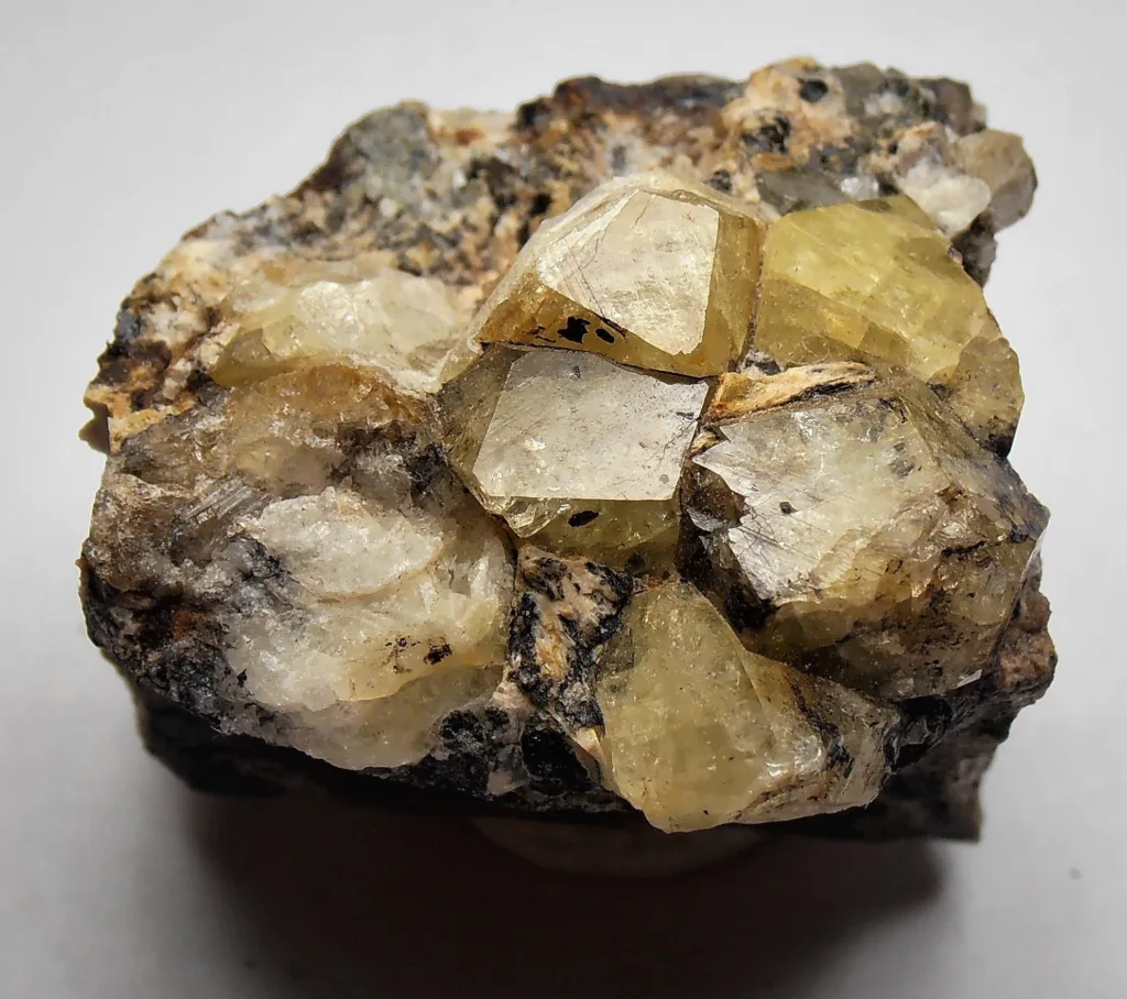
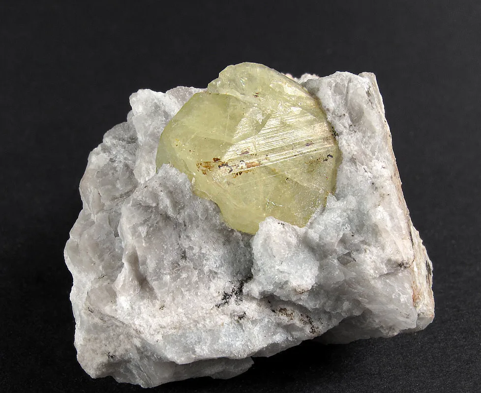
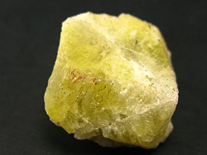
Childrenite

Childrenite is a relatively rare mineral that is composed of basic iron aluminum phosphate. It belongs to the phosphate mineral group and is often found in association with other minerals, such as lazulite and wavellite. The mineral is named after the English mineralogist Arthur Herbert Churchward Children, who contributed significantly to the study of minerals.
Childrenite was first discovered in 1902 in the Wheal Carpenter mine in Tavistock, Devon, England. It was named in honor of Arthur Herbert Churchward Children, who was an English mineralogist and petrologist. He was known for his contributions to the study of minerals and rocks and was instrumental in identifying and characterizing various mineral species.
The mineral was initially described and named by the famous mineralogist Sir Arthur Russell, who also made significant contributions to the field of mineralogy. Childrenite’s discovery in England marked the initial recognition of this mineral in the mineralogical community.
Importance and Applications:
Childrenite is not a mineral with significant economic importance, but it holds value in the field of mineralogy and geology due to its rarity and its ability to provide insights into geological processes and mineral formation. Its importance lies primarily in the following aspects:
- Mineralogical Research: Childrenite is of interest to mineralogists and researchers studying mineral formations and crystal structures. It serves as a subject of study in the broader field of geology.
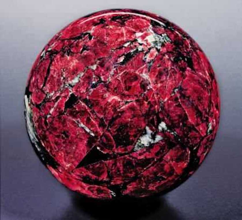
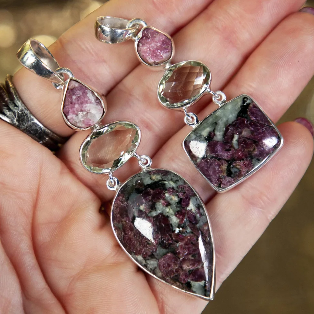
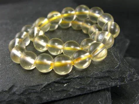
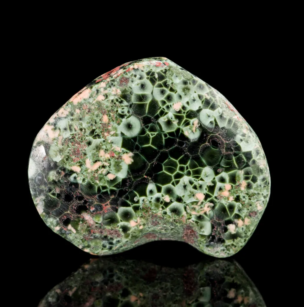
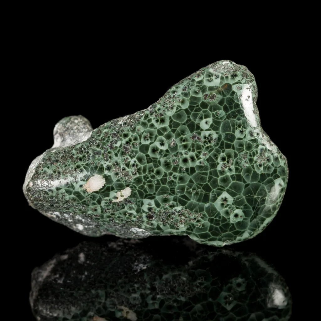
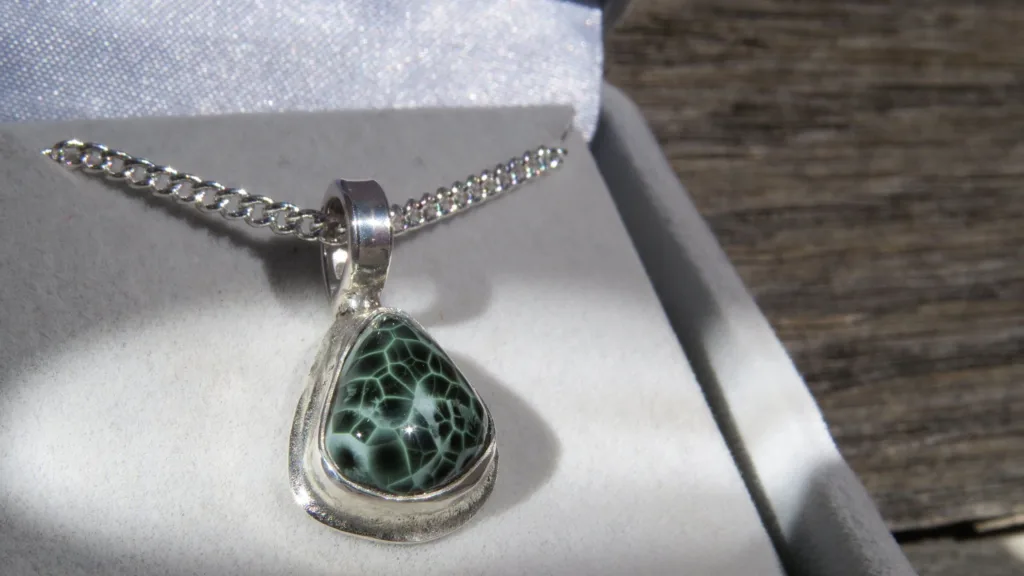
- Collector’s Item: Due to its rarity and often attractive crystal formations, childrenite is sometimes collected by mineral enthusiasts and collectors.
- Scientific Significance: Childrenite, like other minerals, can help scientists understand the geological processes that occurred during its formation. Its presence and characteristics can provide insights into the history of the rocks and minerals in which it is found.
In summary, while childrenite is not used in industrial or commercial applications, it is valued for its role in advancing the scientific understanding of mineralogy and geology and is sometimes sought after by mineral collectors for its beauty and rarity.
Physical, Chemical, and Optical Properties of Childrenite
Physical Properties:
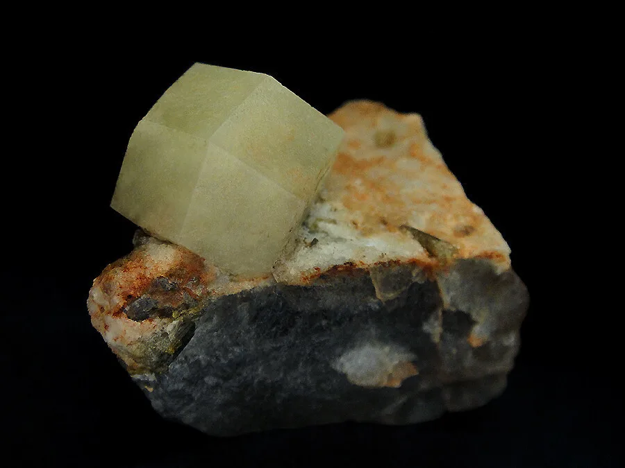
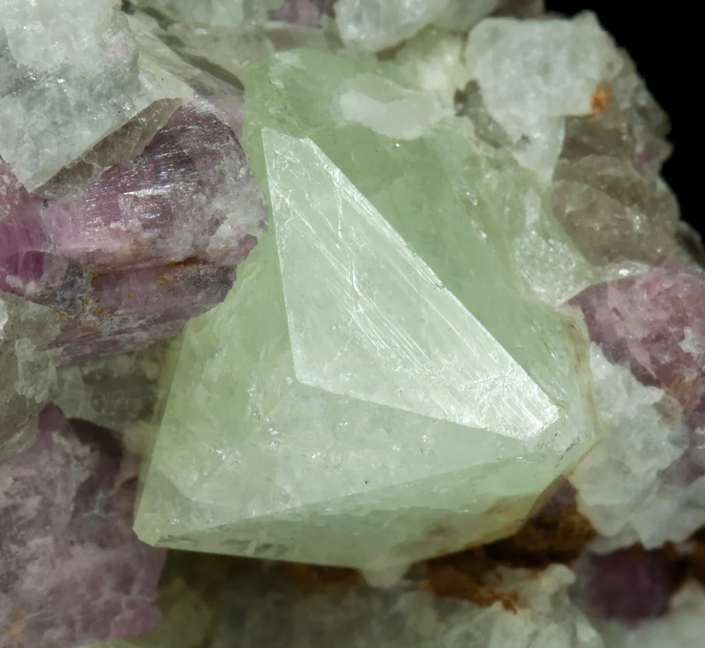
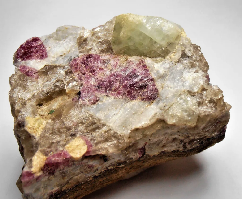
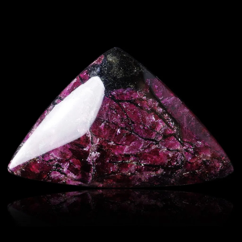
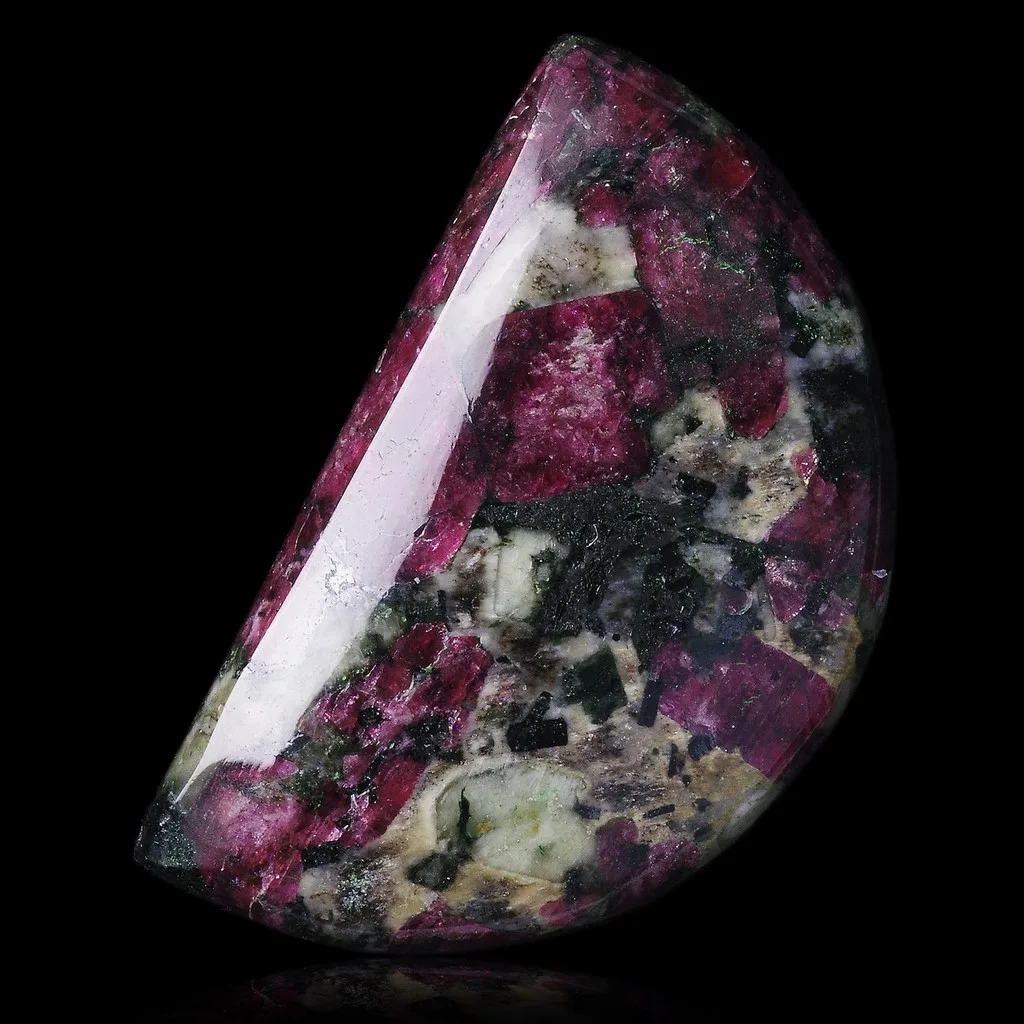
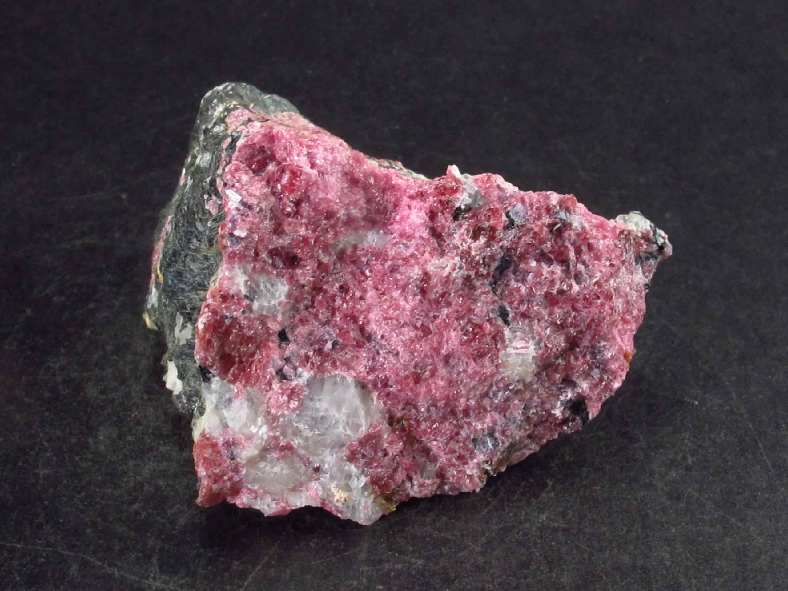
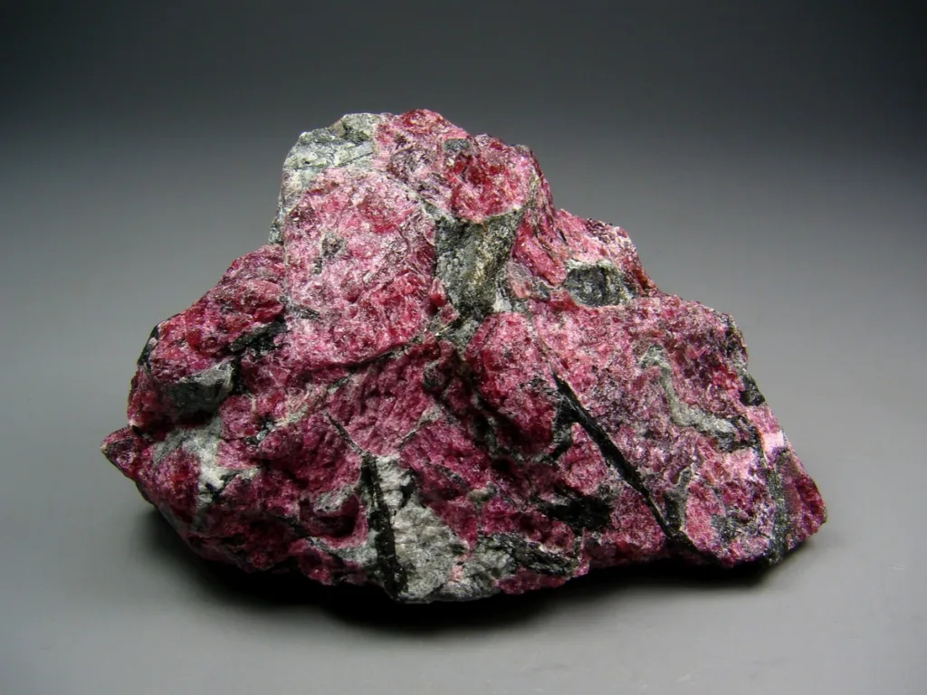
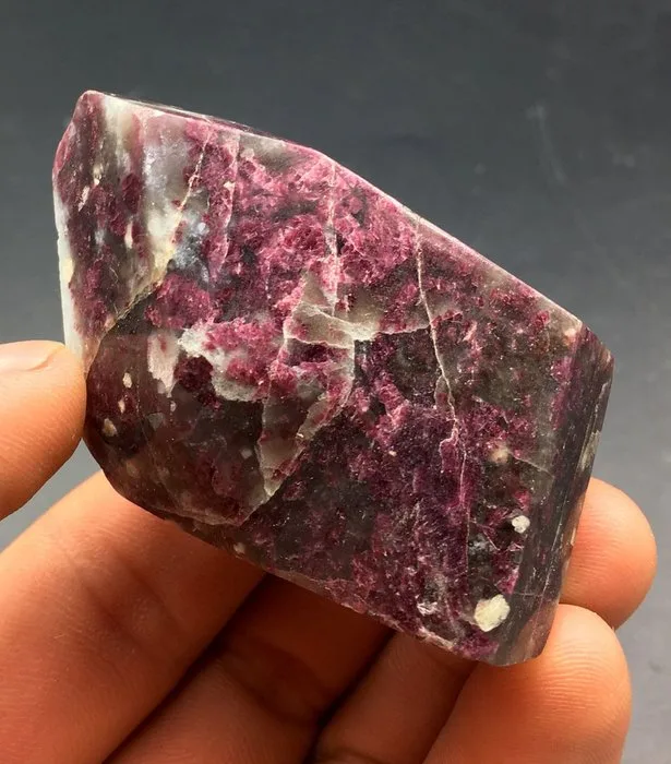
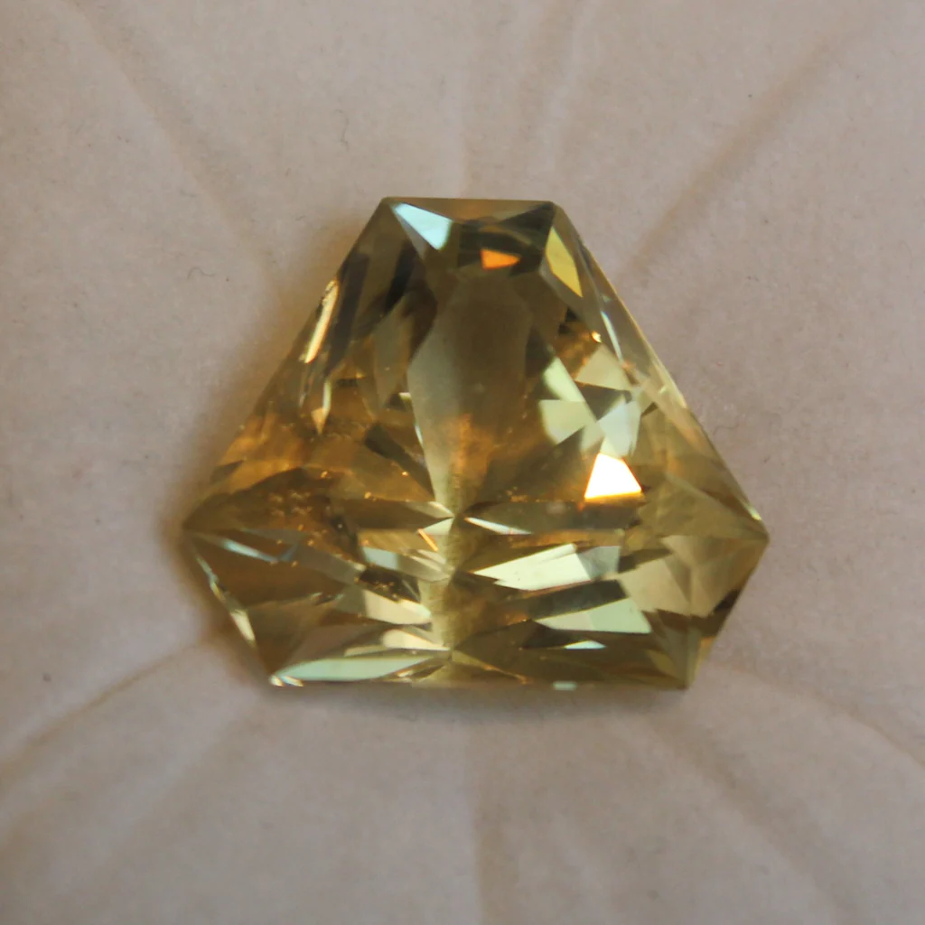
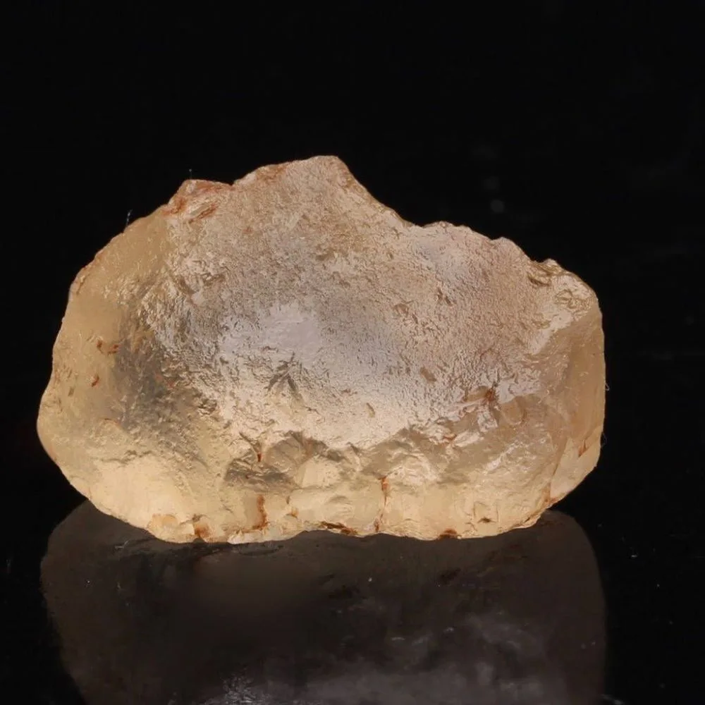
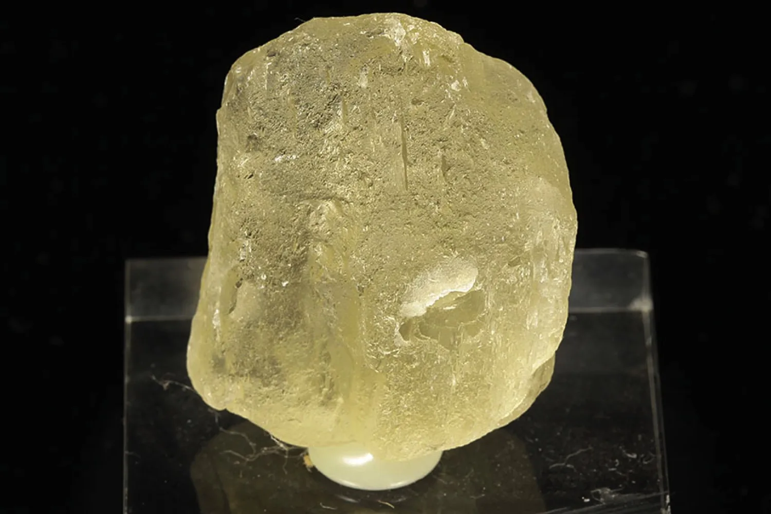
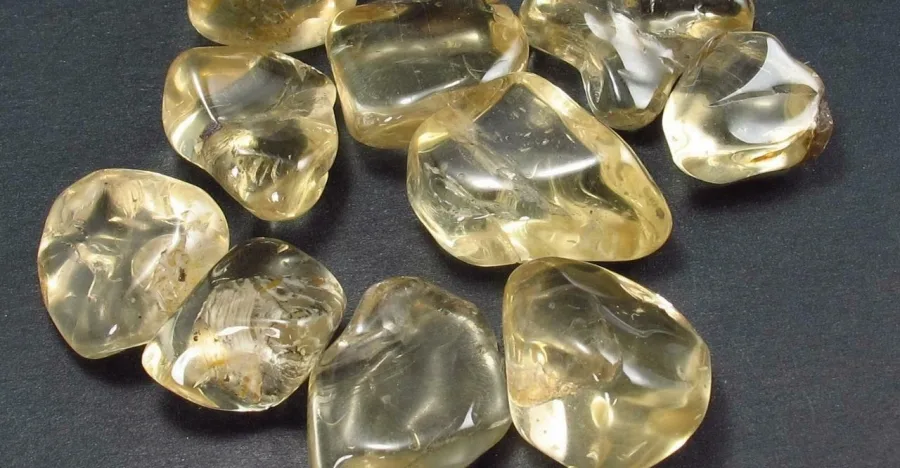
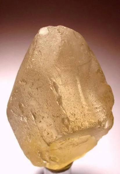
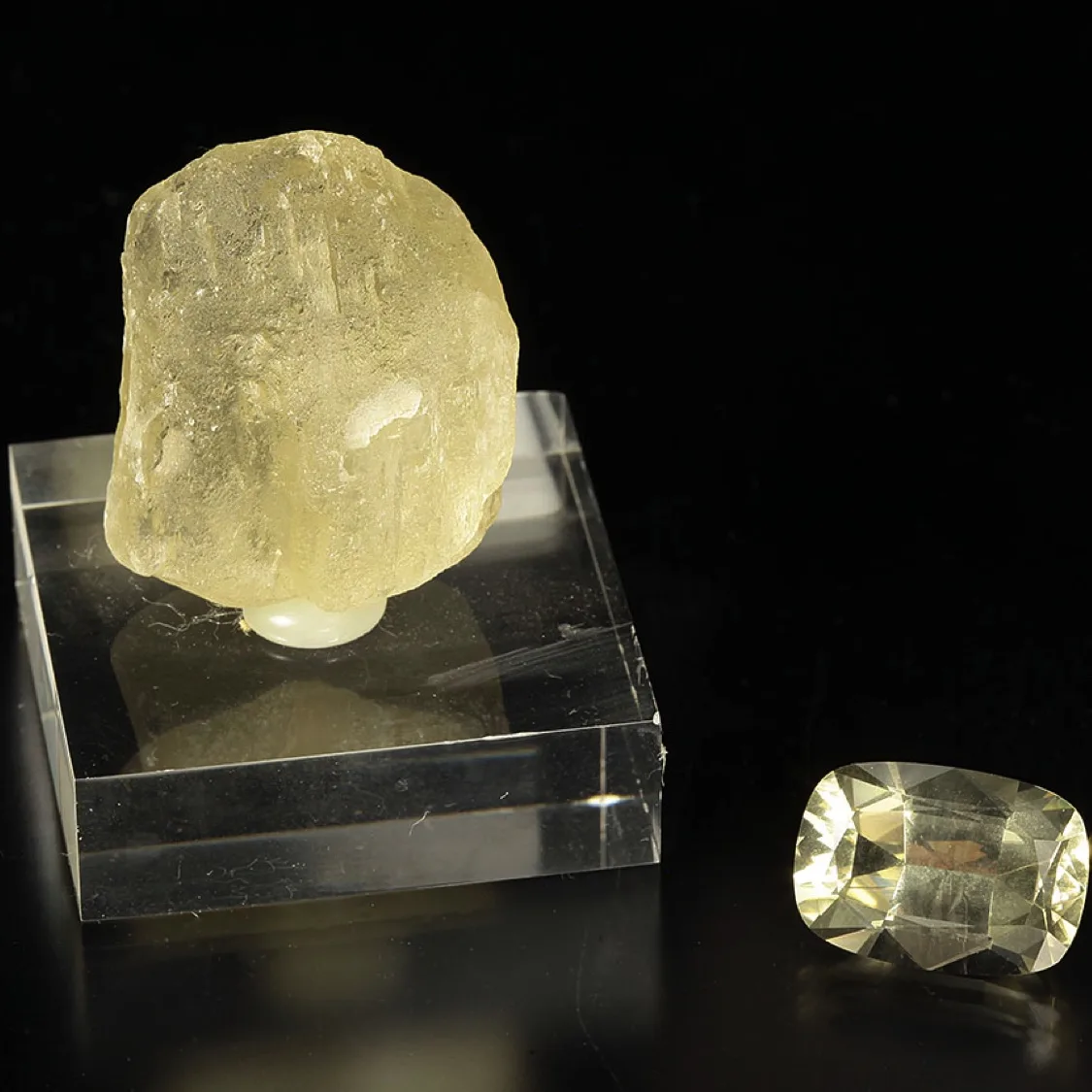
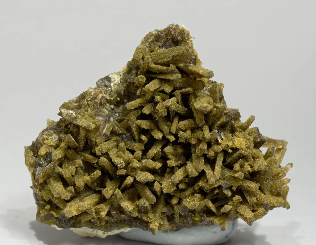
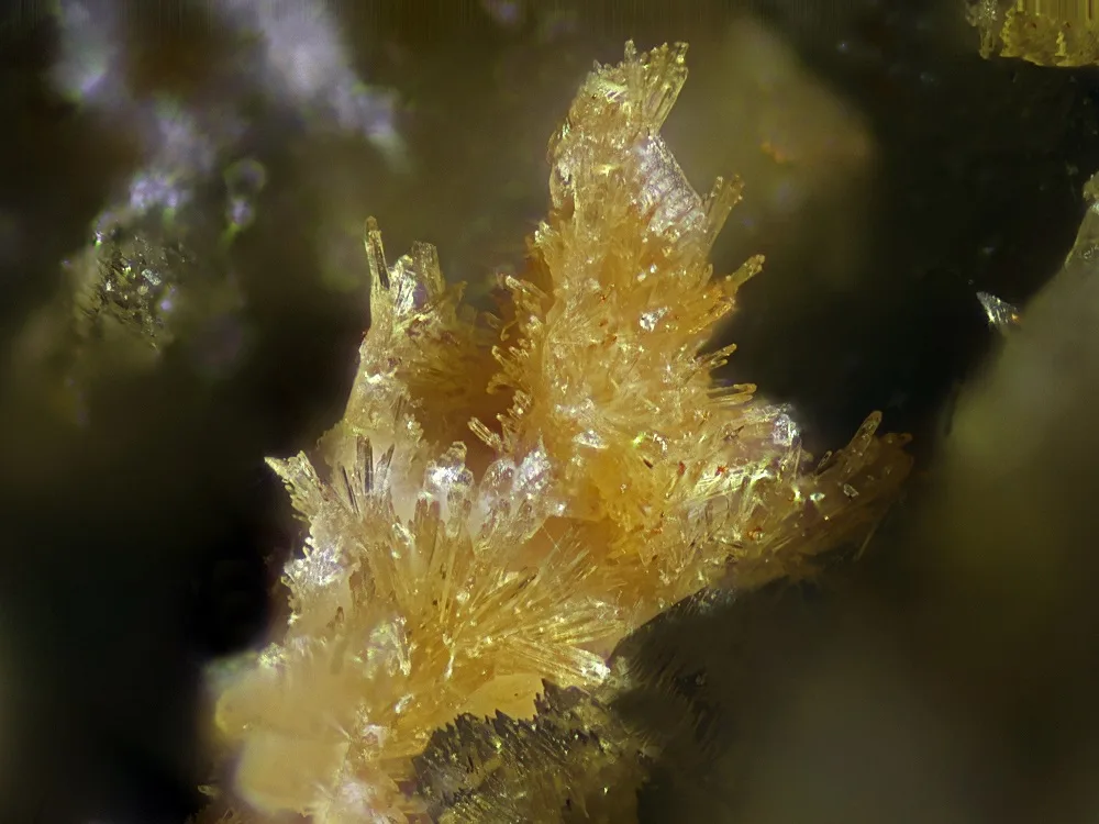
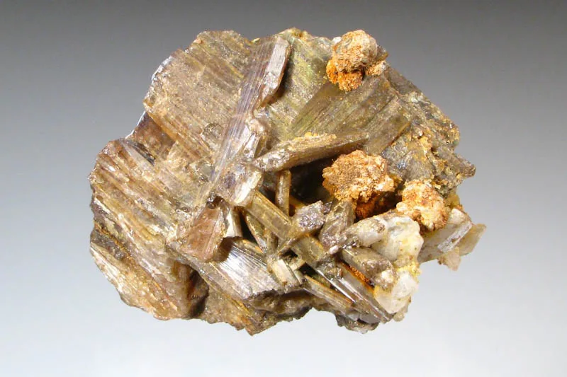
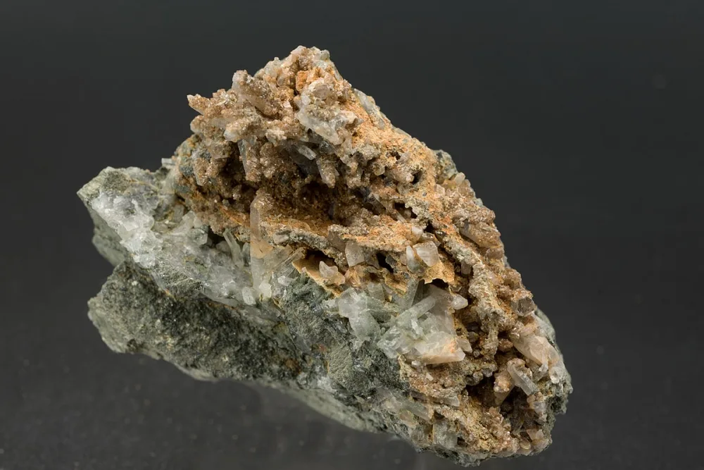
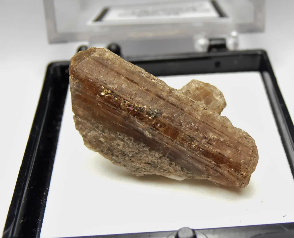
- Color: Childrenite is typically green, yellow, or brown, but it can exhibit a range of colors, including colorless, gray, and blue-green.
- Luster: It has a vitreous or glassy luster when freshly exposed.
- Transparency: Childrenite can be transparent to translucent. Some specimens may appear opaque.
- Crystal System: Childrenite crystallizes in the monoclinic crystal system, meaning its crystal structure is characterized by three unequal axes, with one axis inclined relative to the other two.
- Hardness: It has a hardness of 5 to 5.5 on the Mohs scale. This hardness indicates that it can be scratched by materials with greater hardness, like a steel file, but can scratch softer materials.
- Specific Gravity: The specific gravity of childrenite typically falls in the range of 2.96 to 3.02. This property measures the density of the mineral relative to the density of water.
- Cleavage: Childrenite exhibits good cleavage in one direction, which means it can be easily split along certain planes.
Chemical Properties:
- Chemical Formula: The chemical formula of childrenite is FeAlPO₄(OH)₂(H₂O). It is a complex phosphate mineral containing iron, aluminum, phosphorus, oxygen, and hydrogen.
- Composition: Childrenite consists of basic iron aluminum phosphate and often contains hydroxyl ions (OH) and water molecules (H₂O) in its structure.
- Refractive Index: The refractive index of childrenite is approximately 1.650 to 1.680. This property affects the way light is bent as it passes through the mineral.
- Birefringence: Childrenite is birefringent, meaning it can split a single light ray into two, resulting in the appearance of double images under a polarizing microscope.
- Optical Sign: It can exhibit both positive and negative optical signs, depending on the specific crystal orientation.
- Pleochroism: Some childrenite crystals may display pleochroism, which means they show different colors when viewed from different angles.
- Dispersion: Dispersion is the ability of a mineral to separate white light into its spectral colors. Childrenite typically has low dispersion.
These physical, chemical, and optical properties are important for mineral identification and help mineralogists and geologists characterize and distinguish childrenite from other minerals. The combination of these properties makes childrenite a unique and valuable mineral in the field of mineralogy and geology.
Formation and Occurrence of Childrenite
Childrenite is a phosphate mineral that forms under specific geological conditions. It is often associated with other phosphate minerals and can be found in various types of geological settings. Here’s an overview of its formation and occurrence:
Formation:
- Hydrothermal Processes: Childrenite typically forms in hydrothermal environments. Hydrothermal processes involve hot, mineral-rich fluids circulating through fractures and cavities in rocks. The mineral precipitation occurs when these fluids cool and lose their solubility. In the case of childrenite, the necessary elements, including iron, aluminum, phosphorus, and water, are sourced from the surrounding rocks.
- Phosphate Enriched Zones: Childrenite often occurs in phosphate-rich zones within rock formations. These zones are characterized by a concentration of phosphorus-bearing minerals. The phosphorus necessary for childrenite’s formation can be derived from primary phosphate minerals or can be introduced into the rock through geological processes.
- Alteration of Primary Minerals: Childrenite may also form through the alteration of other primary phosphate minerals. For example, lazulite, a closely related mineral, can transform into childrenite under certain conditions. This alteration can occur due to changes in temperature, pressure, or chemical composition within the geological environment.
Occurrence:
- Geological Settings: Childrenite is typically found in metamorphic and hydrothermal settings. It is often associated with metamorphic rocks, such as schists and gneisses, and may be found in ore deposits and mineral veins.
- Specific Localities: Some notable localities where childrenite has been found include Wheal Carpenter mine in Tavistock, Devon, England, where it was first discovered. Other occurrences have been reported in locations such as the Foote Lithium Company Mine in North Carolina, USA, and the Hagendorf pegmatite in Germany.
- Mineral Associations: Childrenite is commonly found in association with other phosphate minerals, such as lazulite, wavellite, and turquoise. These minerals often share similar geological origins and are formed in related geological settings.
- Collector’s Specimens: While childrenite is relatively rare, it is sometimes sought after by mineral collectors due to its aesthetic and unique crystal formations. Collectors may find specimens in specialized mineral shops or as part of private collections.
In summary, childrenite is primarily formed in hydrothermal and metamorphic environments, often in association with other phosphate minerals. Its occurrence is relatively rare, and specific geological conditions are required for its formation. Due to its rarity and beauty, childrenite specimens are of interest to mineral collectors and geologists studying the processes of mineral formation.
Mining and Distribution
Childrenite is not a mineral that is typically mined for economic purposes. Its relative rarity and the limited demand for this mineral make it unprofitable to mine on a large scale. As a result, there are no significant mining operations specifically targeting childrenite. Instead, the mineral is usually obtained as a byproduct of mining activities in locations where it is found in association with other minerals.
Here’s some information about the distribution and how childrenite is acquired:
Distribution:
Childrenite is relatively uncommon, and its distribution is limited to specific geological settings where it forms. Some of the known localities where childrenite has been found include:
- England: The Wheal Carpenter mine in Tavistock, Devon, England, is the locality where childrenite was first discovered. It remains one of the notable sources for this mineral.
- United States: Childrenite has been found in the United States, with occurrences reported in places like North Carolina. The Foote Lithium Company Mine in North Carolina is one of the locations where it has been identified.
- Germany: The Hagendorf pegmatite in Germany is another locality where childrenite has been reported, often associated with other phosphate minerals in pegmatite deposits.
- Other Localities: Childrenite has been found in other countries as well, although it is not as commonly documented. Its occurrence is typically associated with regions rich in phosphate minerals and in geological settings conducive to its formation.
Acquisition:
Mineral collectors, researchers, and geologists often obtain childrenite specimens from these known localities or from specialized mineral dealers and collectors. It is more commonly acquired through mineral specimens and is valued for its aesthetic and geological significance. Given its rarity, childrenite specimens can be relatively expensive and are sought after by collectors interested in unique and beautiful mineral specimens.
In summary, childrenite is not mined on a commercial scale, and its distribution is limited to specific geological locations. It is typically acquired as a byproduct of mining activities targeting other minerals and is more commonly found in the collections of mineral enthusiasts and geological researchers.
Uses and Applications
Childrenite does not have practical or commercial applications due to its rarity and the relatively small scale at which it is found. It is primarily valued for its mineralogical and geological significance, as well as its aesthetic qualities. Here are the key uses and applications of childrenite:
- Mineral Collecting: Childrenite is often collected by mineral enthusiasts, hobbyists, and collectors due to its rarity and attractive crystal formations. Its unique color and the presence of other phosphate minerals in its association make it a desirable addition to mineral collections.
- Geological Research: Childrenite, like other minerals, plays a role in geological research. Its presence in specific geological settings can provide insights into the processes of mineral formation, the history of the rock formations, and the conditions under which it crystallized.
- Educational Purposes: Childrenite is used for educational purposes, both in the classroom and in museum displays. It helps students and the general public learn about mineralogy and geology and gain an appreciation for the diversity of minerals found in the Earth’s crust.
- Scientific Study: Mineralogists and petrologists may study childrenite to better understand its crystal structure, composition, and formation conditions, contributing to the broader field of earth sciences.
- Gem and Mineral Shows: Childrenite specimens, along with other minerals, are often showcased at gem and mineral shows, where they are admired by attendees and may be bought, sold, or traded among collectors.
In summary, childrenite is not used in any industrial, technological, or practical applications. Instead, its primary value lies in its role as a collectible mineral, its contribution to geological research, and its use in educational and scientific contexts.
Summary of Key Points – Significance of Childrenite in the Mineral World
- Rarity and Uniqueness: Childrenite is a relatively rare mineral known for its unique color, crystal formations, and association with other phosphate minerals, making it a valuable addition to mineral collections.
- Mineralogical and Geological Value: Childrenite is of significance to mineralogists and geologists because it offers insights into geological processes, mineral formation, and the history of the rocks in which it is found.
- Educational Use: It is used for educational purposes, helping students and the public learn about mineralogy and geology, and appreciate the diversity of minerals that exist on Earth.
- Scientific Research: Mineralogists and petrologists study childrenite to better understand its crystal structure, chemical composition, and the conditions under which it forms, contributing to the broader field of earth sciences.
- Collector’s Item: Mineral enthusiasts and collectors seek out childrenite specimens for their aesthetic appeal, rarity, and the opportunity to acquire unique mineral specimens.
- Gem and Mineral Shows: Childrenite, along with other minerals, is often showcased at gem and mineral shows, where it attracts attention and may be bought, sold, or traded among collectors.
- No Practical Applications: Childrenite does not have industrial or commercial applications, and it is not mined on a significant scale due to its limited distribution and relative scarcity.
In summary, the significance of childrenite in the mineral world primarily lies in its beauty, its role in advancing mineralogical knowledge, its use in education, and its appeal to collectors, rather than in any practical applications.