")


Scolecite

Scolecite is a mineral that belongs to the zeolite group, which is a group of tectosilicate minerals characterized by a three-dimensional framework of tetrahedrons. Zeolites like scolecite are known for their remarkable molecular sieve properties, which make them useful in various industrial and scientific applications.
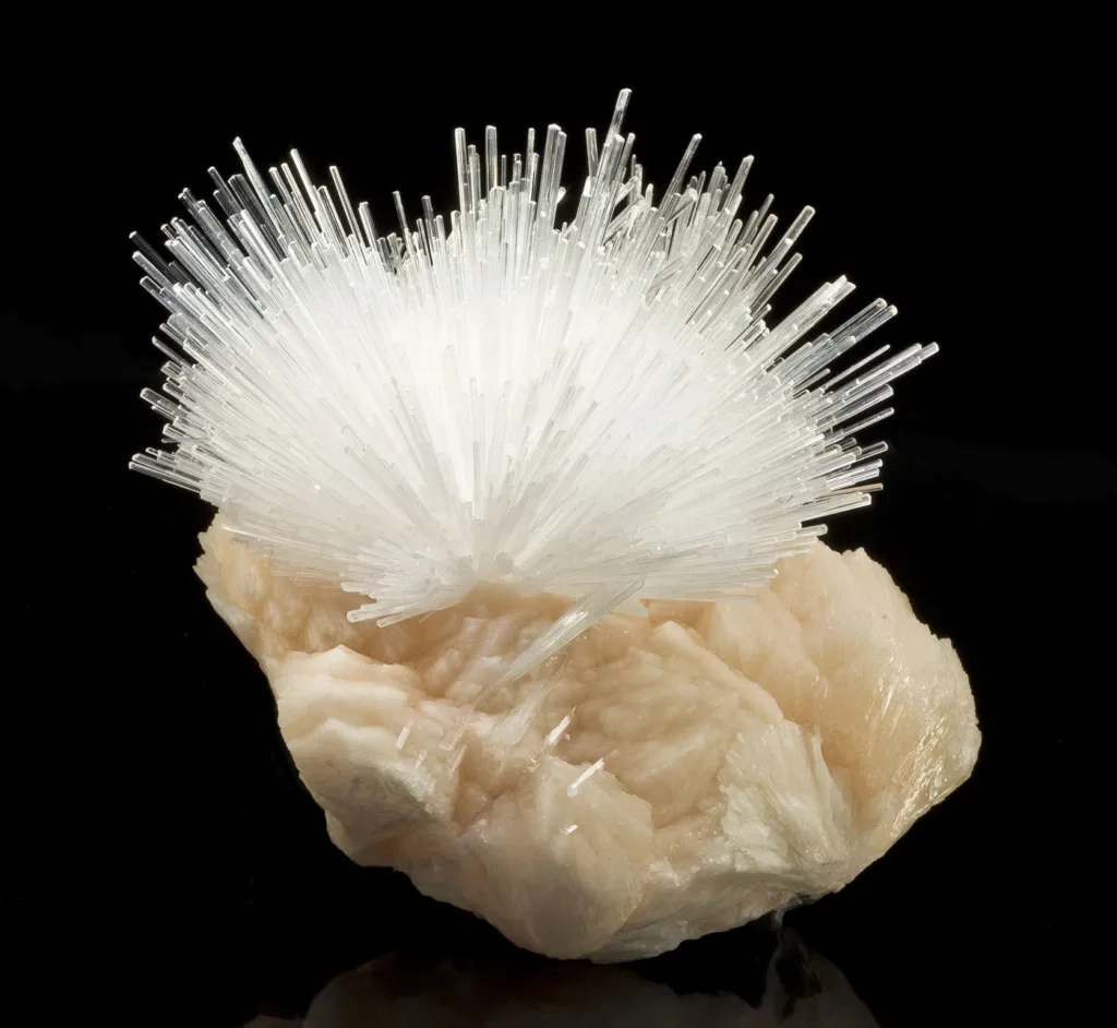
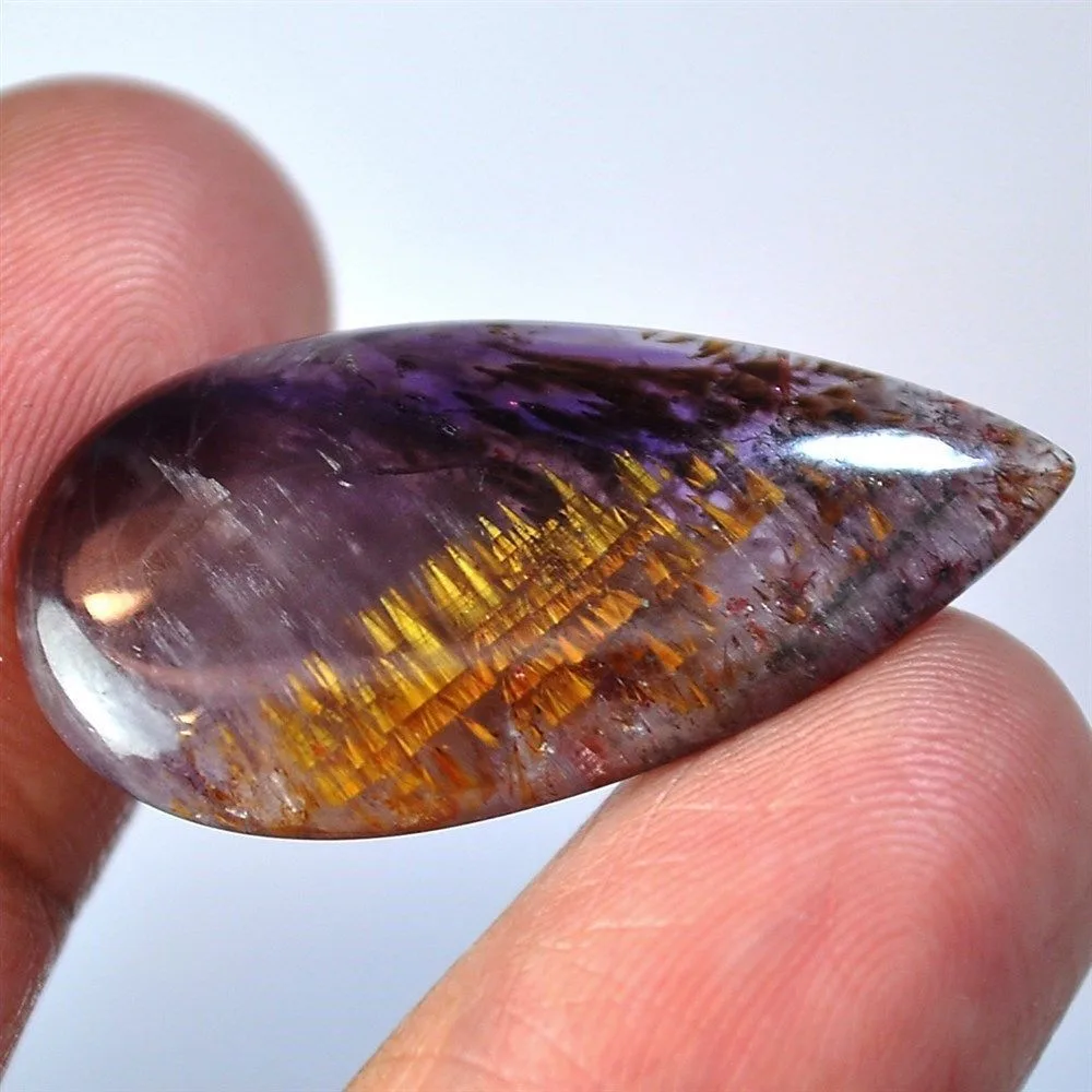
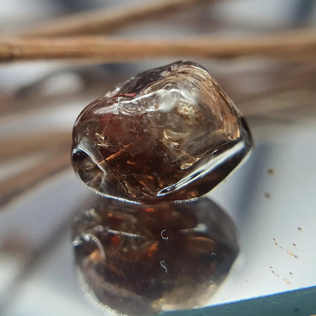
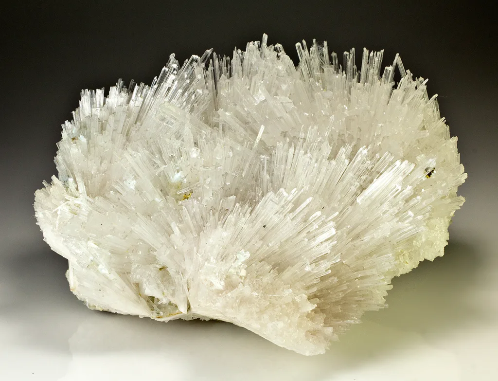
Definition: Scolecite is a tectosilicate mineral with the chemical formula CaAl2Si3O10·3H2O. It is a member of the zeolite mineral group and is known for its delicate, needle-like crystals. The name “scolecite” is derived from the Greek word “skolex,” which means worm, due to the mineral’s thin, worm-like crystal habit. Scolecite is typically white or colorless but can sometimes appear in shades of pink, yellow, or green.
Scolecite is often found in association with other zeolite minerals, such as stilbite and heulandite. It is known for its high water content and its ability to readily adsorb water and other molecules, which makes it valuable in various applications, including as a desiccant and in the purification of gases and liquids.
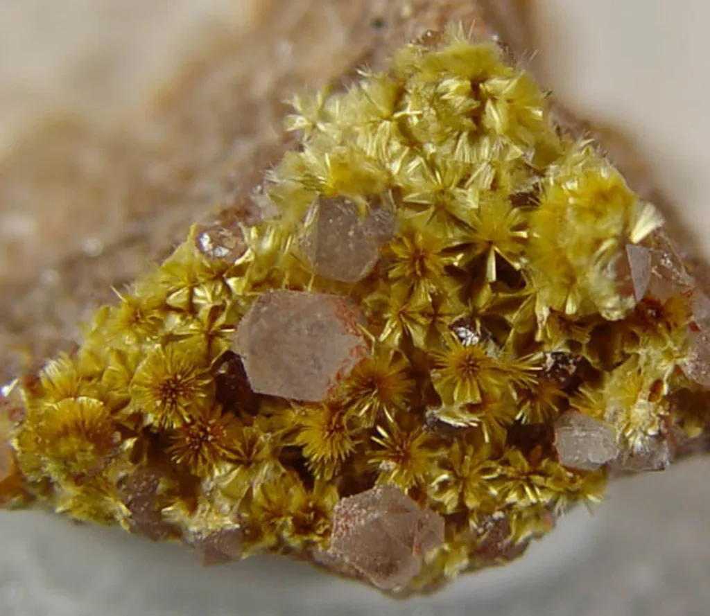
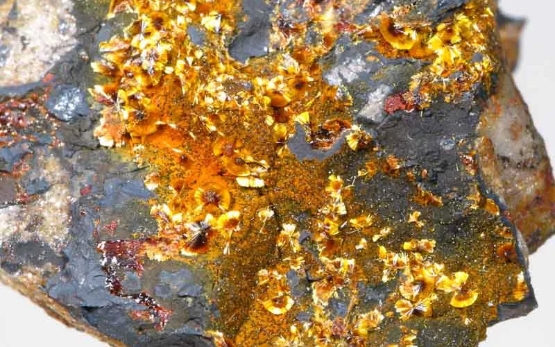
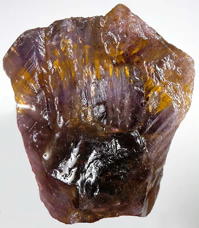
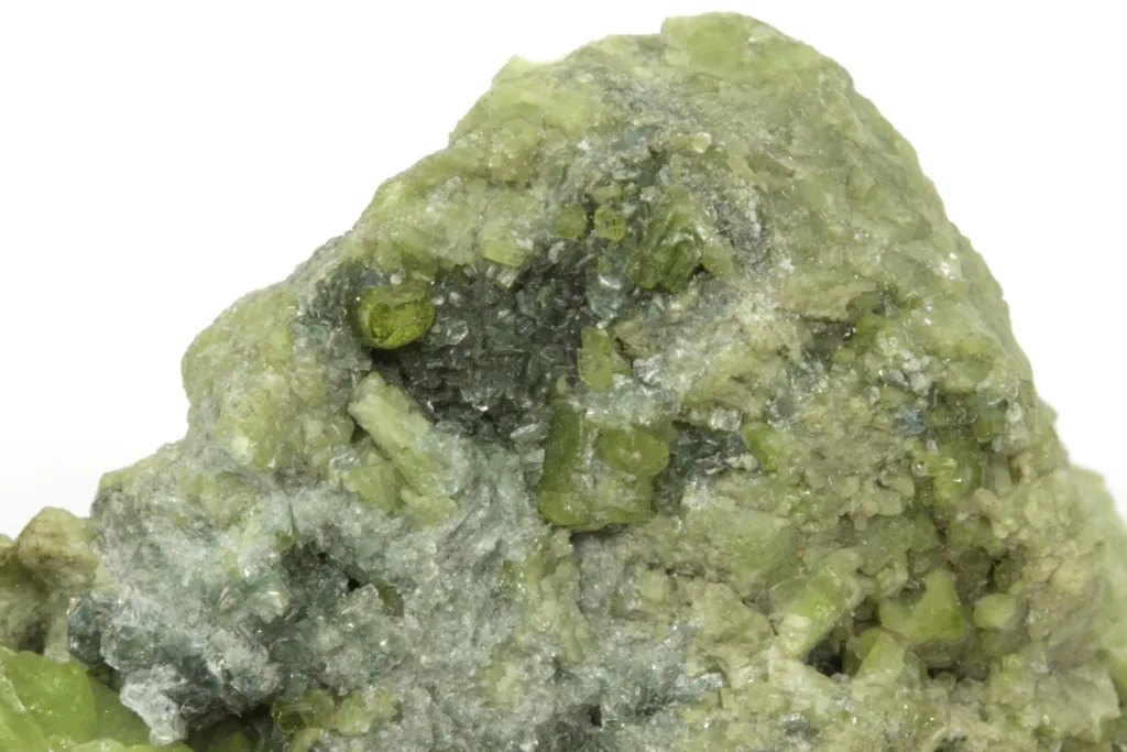
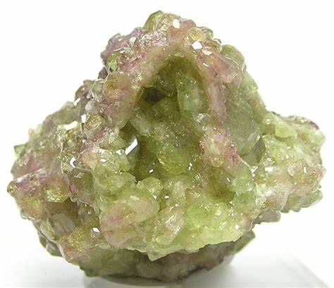
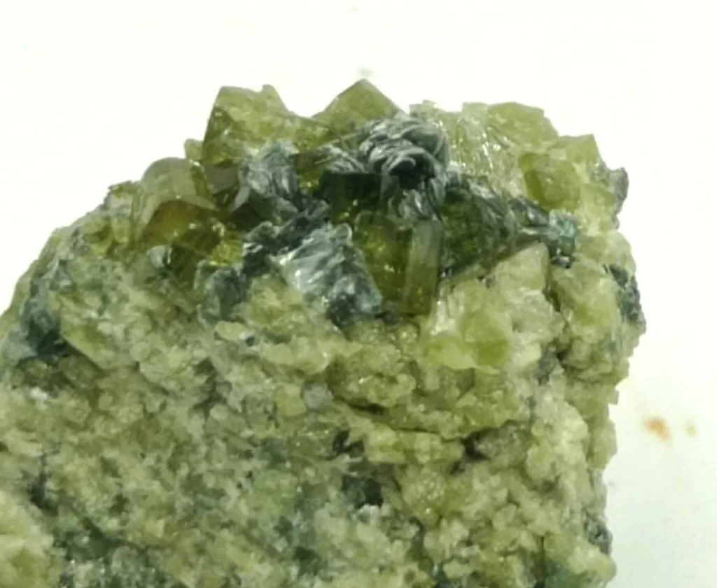
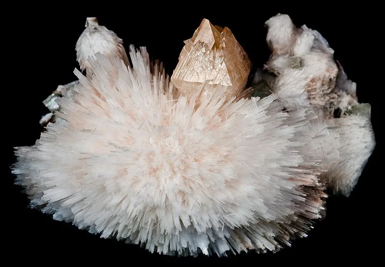
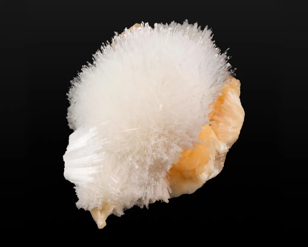
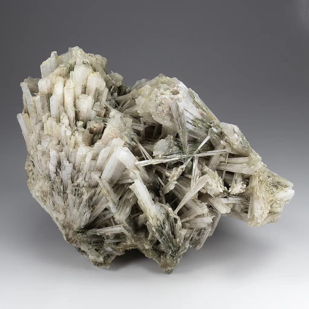
Scolecite crystals have a characteristic prismatic or acicular (needle-like) shape, and they can form radiating aggregates or drusy coatings on matrix rocks. It is commonly found in basaltic and volcanic rocks, as well as in sedimentary environments. Scolecite is popular among mineral collectors due to its unique crystal habit and attractive appearance.
Geological Occurrence of Scolecite
Scolecite is found in a variety of geological settings in the Earth’s crust. It is commonly associated with volcanic and sedimentary rocks. Here are some of the typical occurrences and associated minerals and geological formations where scolecite can be found:
- Volcanic Rocks: Scolecite is often associated with volcanic rocks, particularly those of basaltic and andesitic compositions. It can form in cavities, vesicles, and fractures within these volcanic rocks. When hot molten lava cools and solidifies, it can trap gas bubbles or voids, and this is where zeolite minerals like scolecite can crystallize.
- Sedimentary Rocks: Scolecite can also be found in sedimentary rocks, especially those associated with the alteration of volcanic deposits. When volcanic ash and tuffs undergo diagenesis and chemical alterations, zeolites like scolecite can form. Sedimentary environments where scolecite may occur include areas with volcaniclastic deposits and areas with hydrothermal alteration.
- Associated Minerals: Scolecite is often found in association with other zeolite minerals, including:
- Stilbite: Stilbite is another zeolite mineral that frequently occurs alongside scolecite. It shares a similar crystal structure and habit.
- Heulandite: Heulandite is another zeolite mineral often found in the same geological settings as scolecite.
- Apophyllite: Apophyllite is a mineral commonly associated with zeolites like scolecite in geodes and cavities in volcanic rocks.
- Geodes and Vugs: Scolecite can be found in geodes, which are hollow cavities within rocks lined with mineral crystals. These geodes often form in volcanic rocks or sedimentary rocks and can contain scolecite along with other minerals.
- Hydrothermal Alteration Zones: In some cases, scolecite can also form in hydrothermal alteration zones, where hot fluids rich in silica interact with existing rock formations, leading to the crystallization of zeolite minerals.
Overall, scolecite’s occurrence in the Earth’s crust is closely related to volcanic and sedimentary processes, and it is often found alongside other zeolite minerals, particularly in cavities and fractures within these rocks. Mineral collectors and geologists often explore these environments to find scolecite and other zeolites.
Physical, Chemical and Optical Characteristics of Scolecite
Scolecite exhibits a range of physical, chemical, and optical characteristics that help in its identification and differentiation from other minerals. Here are some key characteristics of scolecite:
Physical Characteristics:
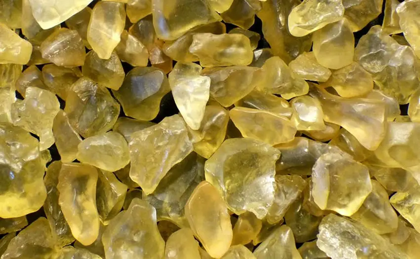
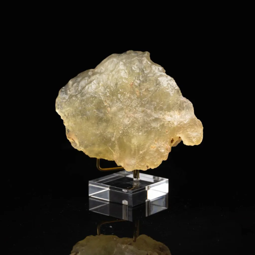
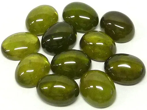
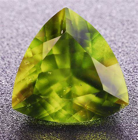
- Color: Scolecite is typically colorless or white. However, it can occasionally be found in shades of pink, yellow, or green due to impurities.
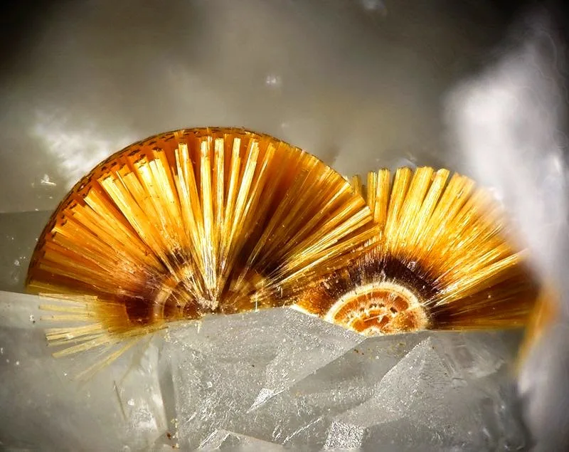
- Crystal System: Scolecite crystallizes in the monoclinic crystal system, forming prismatic or acicular (needle-like) crystals.
- Crystal Habit: The most common crystal habit of scolecite is long, slender, and radiating needle-like or fibrous aggregates. These aggregates can be delicate and intricate, resembling a cluster of fine needles or hairs.
- Cleavage: Scolecite exhibits good cleavage in one direction, producing a perfect cleavage plane. This cleavage is typically parallel to the length of the needle-like crystals.
- Hardness: Scolecite has a Mohs hardness of approximately 5.5, which means it is relatively soft and can be scratched with a knife or a harder mineral.
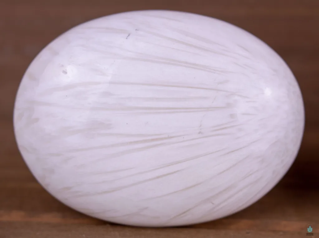
- Luster: It has a vitreous (glassy) to pearly luster, depending on the specific crystal surfaces.
Chemical Characteristics:
- Chemical Formula: The chemical formula of scolecite is CaAl2Si3O10·3H2O. It contains calcium (Ca), aluminum (Al), silicon (Si), oxygen (O), and water (H2O).
- Zeolite Group: Scolecite is a member of the zeolite mineral group, characterized by a three-dimensional framework of tetrahedral structures made up of silicon, aluminum, and oxygen atoms.
- Water Content: Scolecite contains a relatively high water content, with three water molecules (H2O) per unit cell. This is a characteristic feature of zeolite minerals, making them capable of adsorbing and desorbing water and other molecules.
Optical Characteristics:
- Transparency: Scolecite is typically transparent to translucent, allowing light to pass through its crystals. Thin, needle-like crystals can be almost transparent.
- Refractive Index: The refractive index of scolecite varies, but it generally falls in the range of 1.488 to 1.504.
- Birefringence: Scolecite is birefringent, meaning it can split a single incident light ray into two rays with different velocities and directions. This property is commonly observed in minerals with a monoclinic crystal system.
- Optical Sign: Scolecite exhibits a positive optical sign, meaning that it has a converging effect on polarized light.
- Dispersion: The mineral typically has low dispersion, which means it does not produce significant spectral colors when viewed through a prism.
These physical, chemical, and optical characteristics are essential for mineral identification and are used by mineralogists and geologists to distinguish scolecite from other minerals in the field or in the laboratory.
Formation and Formation Environments
Scolecite typically forms in specific geological environments and is associated with volcanic and sedimentary processes. The formation of scolecite is influenced by the presence of silica-rich solutions and the occurrence of voids, fractures, or cavities within rocks. Here are some of the key formation and formation environments for scolecite:
- Vesicles in Volcanic Rocks: Scolecite often forms in vesicles, which are voids or gas bubbles in volcanic rocks like basalt and andesite. When molten lava cools and solidifies, it can trap gas bubbles. Silica-rich solutions, such as those carrying dissolved minerals, percolate into these vesicles. Over time, these solutions can deposit minerals, including scolecite, as the solutions evaporate and lose their solubility. The needle-like scolecite crystals fill the vesicles and may form intricate, radiating aggregates.
- Hydrothermal Alteration Zones: In some cases, scolecite can form in hydrothermal alteration zones, where hot, aqueous fluids rich in silica interact with preexisting rocks. These fluids may carry dissolved minerals, including silica, and when they infiltrate rocks, they can promote the crystallization of zeolite minerals like scolecite. This can occur in both volcanic and sedimentary rocks.
- Sedimentary Rocks: Scolecite can also be found in sedimentary rocks, often as a result of the alteration of volcanic deposits. Volcanic ash, tuffs, and other volcaniclastic sediments may undergo diagenesis, a process of compaction, cementation, and chemical alteration. During diagenesis, silica-rich solutions can percolate through these sediments and contribute to the formation of zeolites, including scolecite.
- Geodes and Vugs: Scolecite can be found in geodes, which are hollow cavities within rocks lined with mineral crystals. These geodes often form in volcanic and sedimentary rocks when mineral-rich fluids fill voids and slowly deposit crystals like scolecite. The needle-like crystals in scolecite can create intricate and attractive displays in geodes.
- Associations with Other Zeolites: Scolecite is commonly found in association with other zeolite minerals, including stilbite, heulandite, and apophyllite, in various geological environments. The presence of multiple zeolite minerals often indicates the influence of similar geological processes in the formation of these minerals.
The formation of scolecite is closely linked to the availability of silica-rich solutions and the presence of voids, fractures, and cavities within rocks. The mineral’s delicate, needle-like crystals and its tendency to form intricate radiating aggregates make it a sought-after specimen among mineral collectors and geologists exploring these specific geological settings.
Scolecite’s Uses and Applications
Scolecite, like other zeolite minerals, has several important uses and applications due to its unique properties. Some of the key uses and applications of scolecite include:
- Zeolite Catalyst: Scolecite is used as a catalyst in various chemical processes. Its porous structure and high surface area make it suitable for catalyzing reactions in the petrochemical and chemical industries, particularly in the cracking of hydrocarbons and other catalytic processes.
- Desiccant: Scolecite is employed as a desiccant, a substance used to remove moisture from the surrounding environment. Its ability to adsorb and hold onto water molecules makes it valuable in applications such as drying gases, liquids, and solids. It is often used in air and gas purification systems to remove moisture and impurities.
- Ion Exchange Resin: Scolecite, like other zeolites, can be used as an ion exchange resin. It has the ability to exchange cations (positively charged ions) within its porous structure. This property is utilized in water softening processes to remove calcium and magnesium ions, which cause water hardness.
- Agriculture: Zeolites, including scolecite, are used in agriculture to improve soil quality and water retention. They can enhance the cation exchange capacity of soil, making it more fertile and capable of retaining nutrients and water for plant growth.
- Aquarium Filtration: Scolecite is sometimes used in aquariums as a filtration medium to remove impurities and toxins from the water. Its high porosity and ion-exchange properties help maintain a healthy aquatic environment for fish and other aquatic life.
- Nuclear Waste Management: Zeolite minerals, including scolecite, have been studied for their potential use in nuclear waste management. Their ability to adsorb and immobilize radioactive ions makes them candidates for the safe disposal of nuclear waste materials.
- Scientific Research: Scolecite is used in scientific research and laboratory experiments as a model material for studying ion-exchange and adsorption processes. Its well-defined crystal structure and properties make it a useful tool for understanding these phenomena.
- Mineral Collecting: Scolecite’s delicate and intricate needle-like crystals are highly prized by mineral collectors. It is often collected for its aesthetic value and unique crystal habit.
Scolecite’s versatility, especially its capacity for adsorbing water and various ions, makes it valuable in a range of industrial, agricultural, and scientific applications. Its use as a catalyst and desiccant, in particular, contributes to its significance in chemical and industrial processes.
Varieties and Colors
Scolecite is a relatively pure mineral, and it does not have extensive varieties or a wide range of colors. It is typically found in its primary colorless to white form. However, minor impurities and associations with other minerals can sometimes result in variations in color and appearance. Here are some of the minor varieties and colors associated with scolecite:
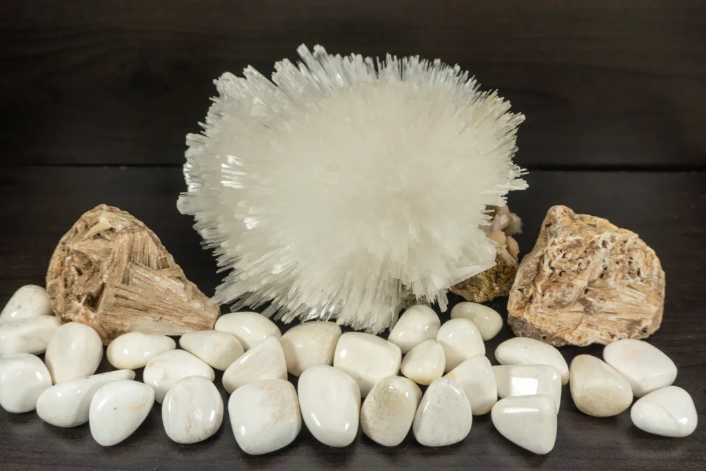
- Colorless Scolecite: The most common and typical color of scolecite is colorless. Transparent to translucent scolecite crystals are highly sought after by mineral collectors for their delicate and attractive appearance.
- White Scolecite: Along with colorless crystals, white scolecite is also quite common. It often appears as white, sometimes with a slightly translucent or pearly luster.
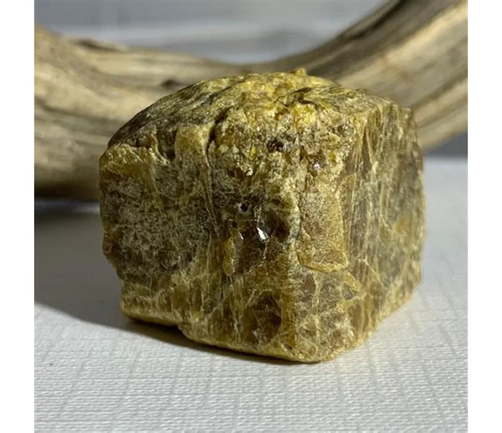
- Yellow Scolecite: Some specimens of scolecite may exhibit a pale yellow color. This coloration is often the result of impurities or minor inclusions within the crystals.
- Pink Scolecite: In rare instances, scolecite can be found with a pinkish hue. The pink coloration is typically associated with the presence of trace amounts of other minerals or alterations in the crystal structure.
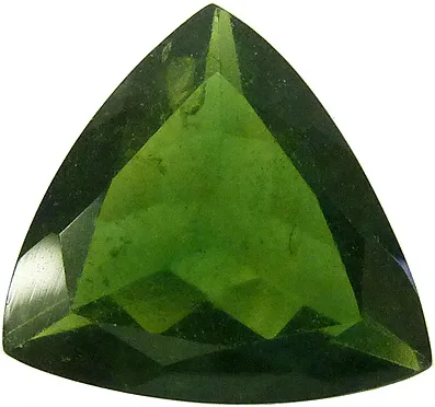
- Green Scolecite: Green scolecite is even rarer than pink scolecite and is usually due to trace impurities, such as copper or other minerals. The green tints can vary from pale to slightly more pronounced shades.
It’s important to note that the primary form of scolecite is colorless or white, and these minor color variations are less common. Collectors often value scolecite specimens with the least coloration, as the pristine, transparent, or white crystals are considered the most attractive. Scolecite’s unique crystal habit and delicate appearance, rather than its color, are the main factors that make it highly sought after by mineral enthusiasts.
Cultural and Historical Significance
Scolecite is not a mineral with significant cultural or historical significance on its own. Unlike some other minerals and gemstones that have played important roles in human history and culture, scolecite is primarily valued for its aesthetic and scientific qualities rather than its historical or cultural symbolism.
However, it’s important to note that minerals, including scolecite, have been appreciated and collected by people throughout history for their beauty and unique characteristics. Mineral collecting and appreciation of geological specimens have long been part of human culture, but the specific appreciation for scolecite as a mineral species is more recent, primarily within the context of mineralogy and mineral collecting.
In recent times, scolecite, like other zeolite minerals, has gained recognition for its industrial and scientific applications, especially in areas such as catalysis, desiccation, and ion exchange. Zeolites, including scolecite, are also used in environmental and agricultural applications. While these applications have economic and environmental importance, they are not typically associated with cultural or historical symbolism.
In summary, scolecite is a mineral that is primarily appreciated for its scientific properties and its aesthetic value to mineral collectors. It doesn’t hold significant cultural or historical significance on its own, but its role in mineralogy and related fields has contributed to the broader appreciation of minerals and geological specimens in human culture.
Mining and Sources of Scolecite
Scolecite is not typically mined as a primary or commercial mineral resource. Instead, it is often collected by mineral enthusiasts, mineral collectors, and geologists for its aesthetic and scientific value. Scolecite is relatively rare compared to some other minerals and is not commonly extracted on a large scale for commercial purposes.
Scolecite is usually found in geological environments where it forms in association with other minerals, such as volcanic and sedimentary rocks. Some of the sources and regions where scolecite can be found include:
- India: India is a well-known source of scolecite specimens, particularly from the state of Maharashtra. The state’s lava plateaus and associated sedimentary rocks are rich in zeolite minerals, including scolecite.
- Iceland: Iceland is another notable source of scolecite. The mineral is found in basaltic rocks, often in association with other zeolites.
- United States: Scolecite has been found in various locations within the United States, including states like Oregon, New Jersey, and California. It can be collected by mineral enthusiasts in areas where volcanic rocks and associated cavities or vugs are present.
- Other Localities: Scolecite can be found in geological formations around the world, often in areas with volcanic or sedimentary rock formations. Specific localities may vary, and mineral collectors and geologists may explore these regions to obtain scolecite specimens.
While scolecite is not mined for commercial purposes, some local collectors and mineral dealers may offer specimens for sale. Collectors and hobbyists interested in acquiring scolecite often seek specimens from reputable sources or from mineral shows and exhibitions. The rarity and aesthetic appeal of scolecite specimens make them valuable to collectors and enthusiasts.