


")


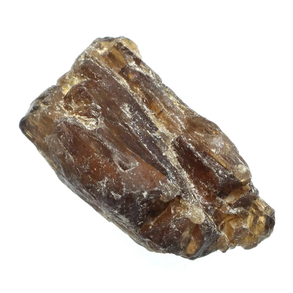
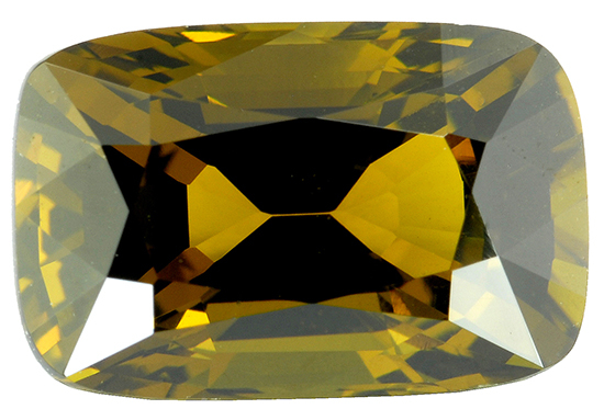
Prasiolite (Green Amethyst)
")
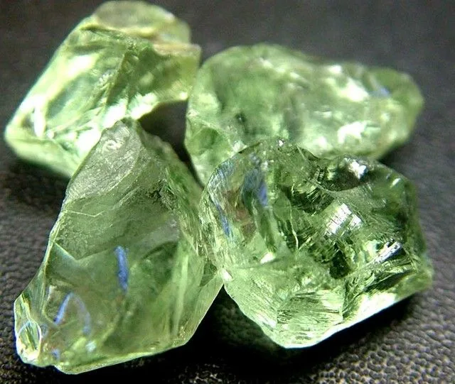
Prasiolite is a unique and captivating gemstone known for its beautiful green hue and is sometimes referred to as “green amethyst.” It is a type of quartz that derives its distinctive color from natural heat treatment, often resulting from volcanic or geothermal activity. This green variety of quartz has gained popularity in the world of jewelry due to its appealing appearance.
- Chemical Composition: Prasiolite is essentially a variety of quartz, and its chemical composition is silicon dioxide (SiO2). Its green color is caused by the presence of iron impurities within the crystal lattice.
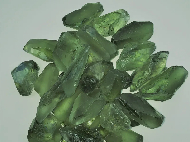
- Color: The most defining characteristic of prasiolite is its pale to medium green color, which ranges from a delicate, minty green to a deeper olive or forest green. The color can vary depending on the stone’s source and the specific geological conditions under which it formed.
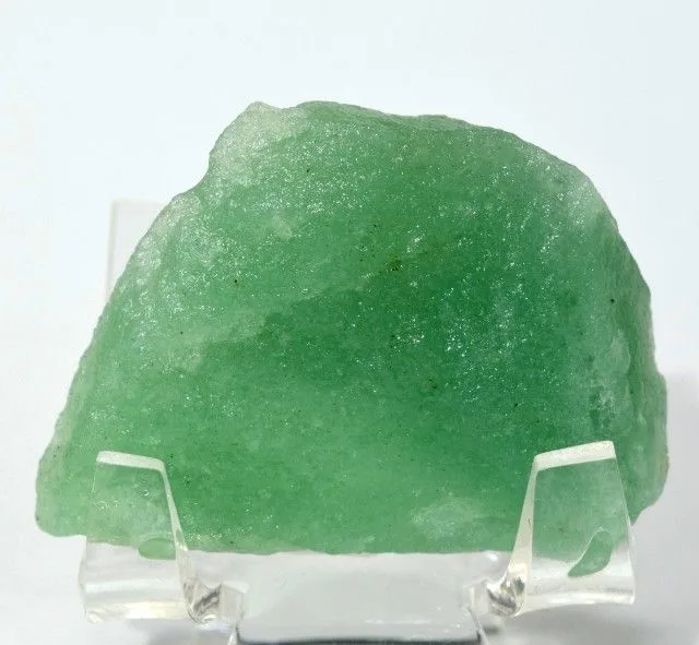
- Clarity: Prasiolite is typically transparent to translucent, allowing light to pass through and create a beautiful, alluring glow. Gemstones with fewer inclusions and blemishes are more valuable.
- Hardness: Like all varieties of quartz, prasiolite has a Mohs hardness rating of 7, making it relatively durable and suitable for use in various types of jewelry.
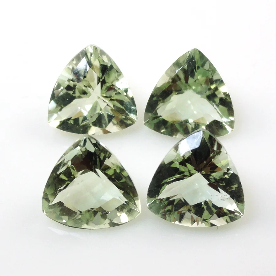
- Cut: Prasiolite is often faceted to enhance its brilliance and luster. It is cut into various shapes and sizes, including rounds, ovals, emeralds, and more, depending on the jeweler’s design and the stone’s characteristics.
- Sources: Prasiolite is typically found in locations with deposits of amethyst and other quartz varieties. Some notable sources include Brazil, Arizona (USA), and Bolivia.
Historical Significance: Prasiolite does not have as rich a historical background as some other gemstones, primarily because its green coloration is often the result of heat treatment, which was not known in ancient times. However, it is closely related to amethyst, and amethyst itself has a long history of use in jewelry and as a symbol of power and protection.

In modern times, prasiolite has gained popularity as an attractive and affordable green gemstone. It is often used in contemporary jewelry designs, ranging from rings and necklaces to earrings and bracelets. Some people also associate prasiolite with metaphysical properties like healing and emotional balance, although these beliefs are not scientifically proven.
Prasiolite’s unique green color and relatively low cost compared to other green gemstones have made it a desirable choice for those seeking a touch of green elegance in their jewelry collections, whether for fashion or spiritual purposes.
Physical and Chemical Properties of Prasiolite
Physical Properties:
- Color: Prasiolite exhibits a pale to medium green color, which can range from a soft, minty green to a deeper olive or forest green. The intensity and shade of green can vary depending on the stone’s origin and the specific geological conditions during formation.
- Transparency: Prasiolite is typically transparent to translucent, allowing light to pass through the stone. Stones with fewer inclusions and better clarity are more valuable and desirable for jewelry.
- Luster: It has a vitreous or glassy luster when polished, contributing to its attractive appearance and shine.
- Hardness: Prasiolite, like all quartz varieties, has a Mohs hardness rating of 7. This means it is relatively durable and resistant to scratching, making it suitable for use in various types of jewelry.
- Density: The density of prasiolite typically falls within the range of 2.65 to 2.91 grams per cubic centimeter (g/cm³), which is similar to other quartz varieties.
- Cleavage and Fracture: Prasiolite has no significant cleavage and typically exhibits a conchoidal fracture, which means it breaks into smooth, curved fragments.
- Crystal System: It belongs to the trigonal crystal system, characterized by a hexagonal prism-like shape with a six-sided cross-section.
Chemical Properties:
- Chemical Composition: Prasiolite is primarily composed of silicon dioxide (SiO2), which is the chemical formula for quartz. It shares this fundamental composition with other quartz varieties.
- Color Causes: The green color of prasiolite is a result of iron impurities within the crystal lattice. These iron atoms can give rise to different shades of green, and the exact coloration may be influenced by factors such as the concentration of iron and the specific geological conditions during its formation.
- Heat Treatment: In many cases, the green color of prasiolite is induced or intensified through heat treatment. Natural amethyst, which is purple, is often subjected to heat to produce the green hue characteristic of prasiolite. This treatment is stable and does not fade with time.
- Variability: The chemical composition of prasiolite remains consistent with that of quartz, but its green coloration makes it unique. Its properties, such as hardness and transparency, are similar to other quartz varieties like amethyst, citrine, and clear quartz.
Prasiolite’s attractive green color, combined with its durability and affordability, has made it a popular choice in the world of gemstone jewelry, both for its aesthetic appeal and its alleged metaphysical properties.
Sources and Mining
Prasiolite, a variety of quartz known for its green color, is typically found in regions where amethyst and other quartz varieties are also present. It’s not as widely distributed as some other gemstones, but it can be found in several locations around the world. Here are some sources, global distribution, and major deposits of prasiolite:
Sources and Mining:
- Brazil: Brazil is one of the primary sources of prasiolite, with significant deposits found in various states, including Minas Gerais, Bahia, and Rio Grande do Sul. The state of Minas Gerais, in particular, is known for producing high-quality prasiolite. Mining operations in Brazil extract prasiolite from quartz deposits, and some stones may also undergo heat treatment to enhance their green color.
- Arizona, USA: Prasiolite has been discovered in the United States, primarily in the state of Arizona. This American source has contributed to the availability of prasiolite in the market.
- Bolivia: Bolivia is another South American country known for prasiolite deposits. Mines in Bolivia extract the green quartz from the earth.
- Other Locations: Prasiolite can also be found in smaller quantities in various other countries, including Madagascar, Canada, Australia, and Namibia. However, these sources are generally less prolific compared to Brazil and the United States.

Global Distribution:
Prasiolite is not as widely distributed as some other gemstones, and its availability can vary depending on the region. The global distribution of prasiolite is primarily concentrated in South America (Brazil and Bolivia) and North America (USA, specifically Arizona). These regions have been the most significant contributors to the prasiolite market.
Major Deposits:
- Minas Gerais, Brazil: This Brazilian state, known for its rich mineral resources, has been a major producer of prasiolite. The region’s quartz deposits have yielded high-quality prasiolite gemstones.
- Bahia, Brazil: Bahia is another Brazilian state where prasiolite can be found. It has contributed to the global supply of this green quartz variety.
- Rio Grande do Sul, Brazil: Rio Grande do Sul is another Brazilian state with notable prasiolite deposits. It has played a role in meeting the demand for this gemstone.
- Arizona, USA: Prasiolite has been discovered in Arizona, particularly in the vicinity of the Four Peaks Amethyst Mine. This American source has added to the availability of prasiolite in the market.
While these regions are known for their prasiolite deposits, it’s essential to note that the gemstone can occur in other areas as well, albeit in smaller quantities. Prasiolite’s unique green color and its association with quartz make it a sought-after gemstone for jewelry, and its sources continue to be of interest to gem enthusiasts and collectors.
Occurrence and Formation
Prasiolite occurs as a variety of quartz and is typically formed through natural processes involving the presence of iron impurities and, in some cases, heat treatment. Here’s an overview of its occurrence and formation:
Occurrence:
- Quartz Deposits: Prasiolite is commonly found in areas where quartz deposits are prevalent. It is often associated with amethyst, citrine, and clear quartz, as they all share the same basic chemical composition of silicon dioxide (SiO2).
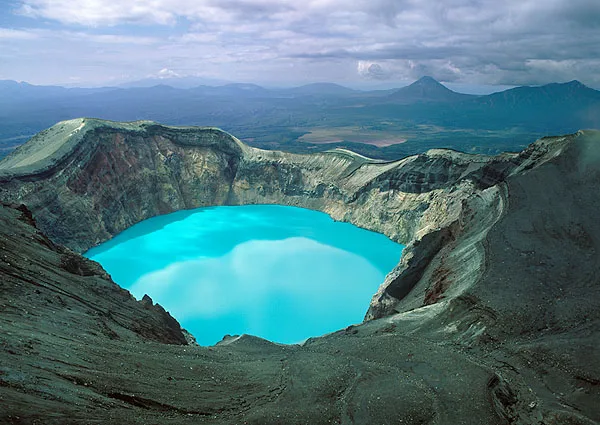
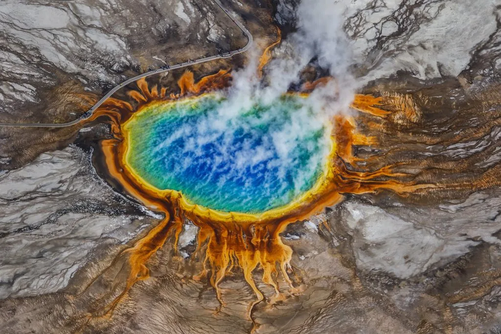
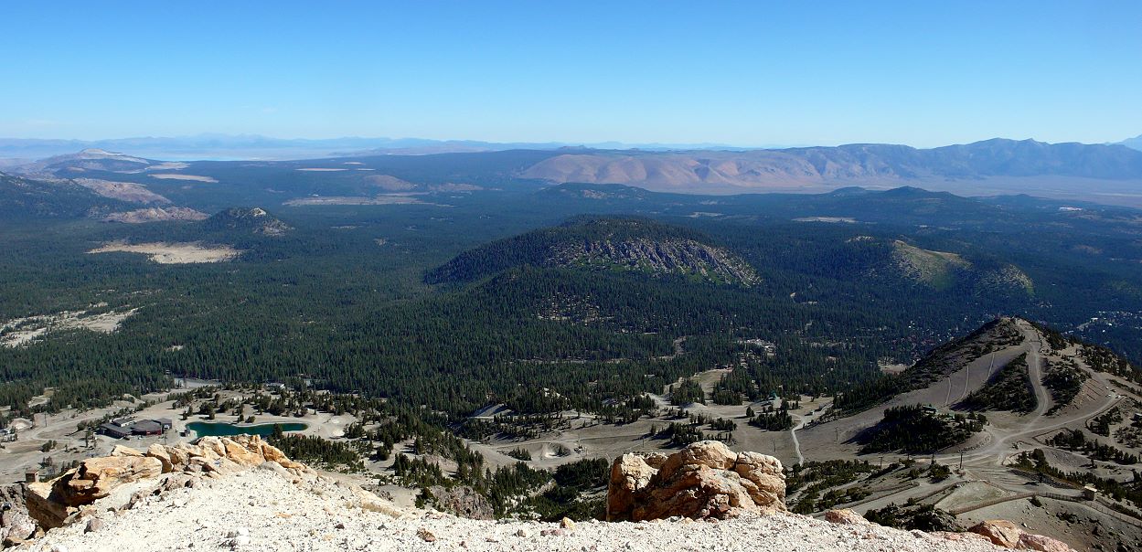
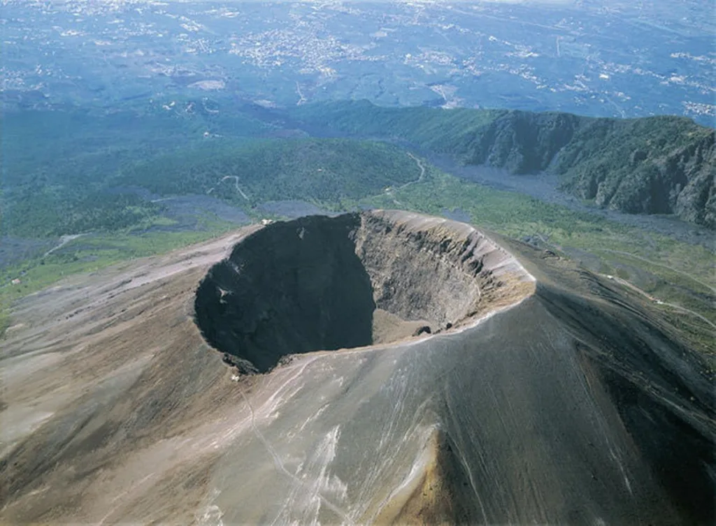
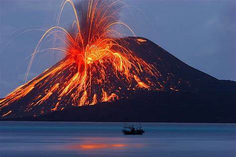
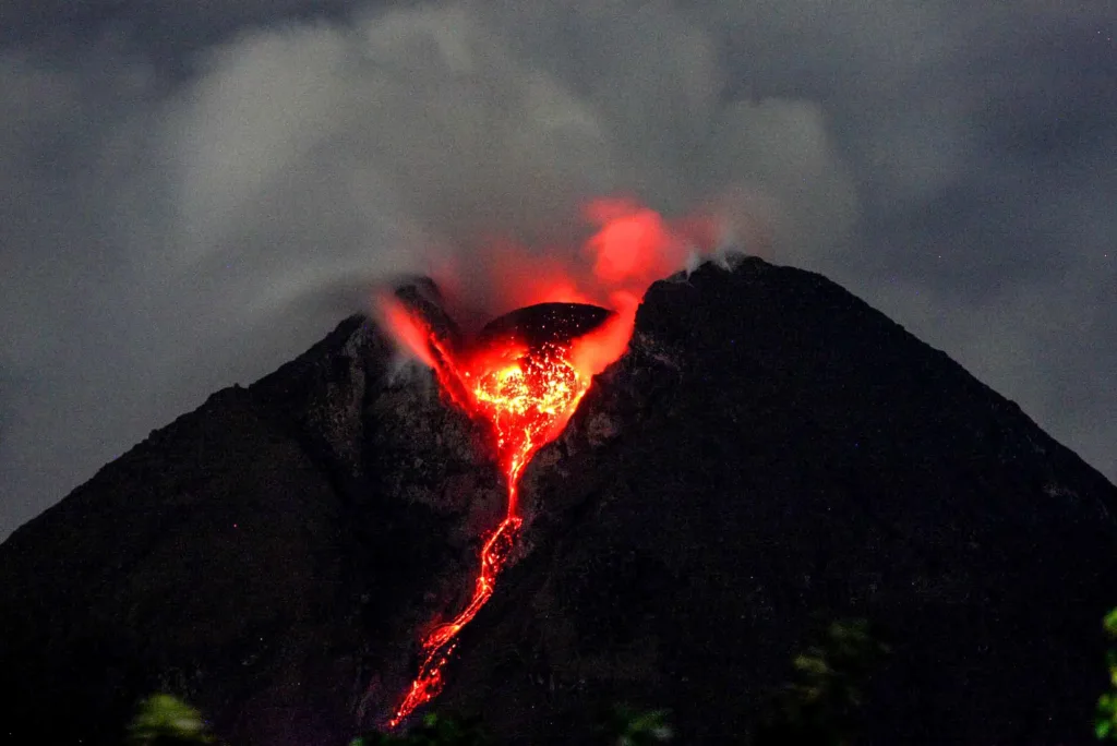
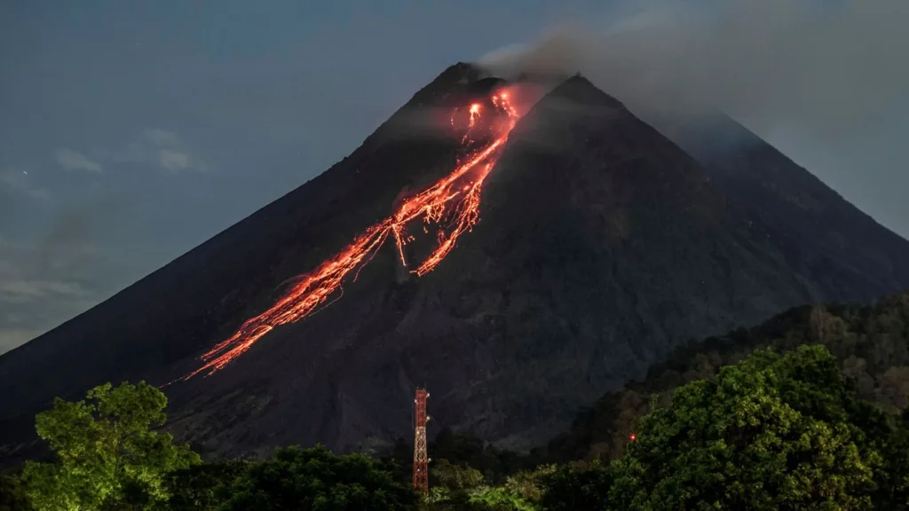
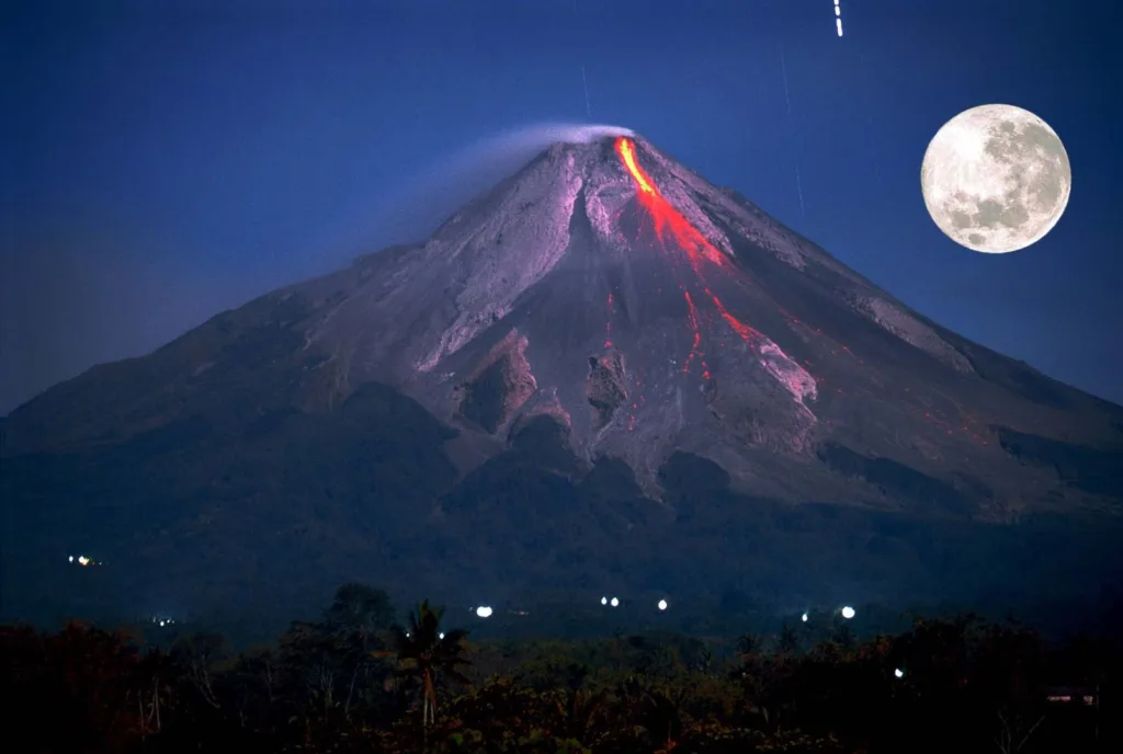
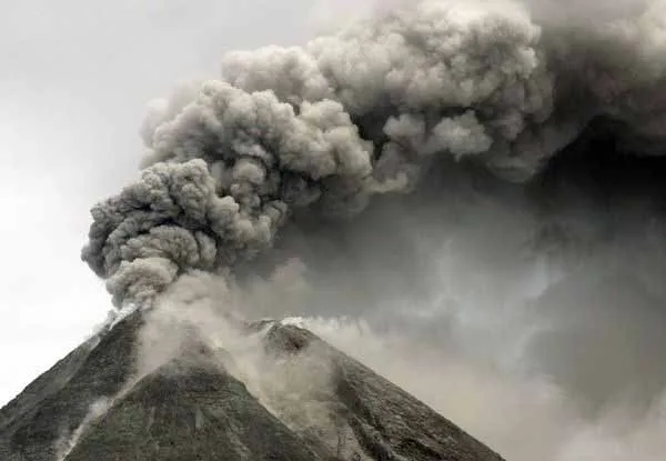
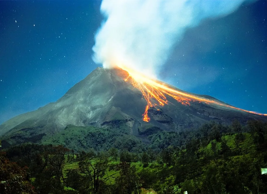
- Geological Settings: Prasiolite is typically found in geothermal or volcanic environments where quartz crystals have the opportunity to form. These environments are characterized by the presence of hot fluids and hydrothermal activity.
- Primary Sources: Major sources of prasiolite include Brazil, Arizona (USA), and Bolivia. These regions have significant quartz deposits that occasionally yield prasiolite specimens.
Formation:
- Iron Impurities: The green color of prasiolite is primarily attributed to the presence of iron impurities within the crystal lattice of the quartz. The exact shade and intensity of green can vary depending on the concentration and type of iron impurities present.
- Heat Treatment: In some cases, prasiolite is formed or enhanced through heat treatment. This process involves subjecting naturally occurring amethyst, which is typically purple, to high temperatures. Heat treatment can change the color of amethyst from purple to green, resulting in prasiolite. The heat treatment is stable and does not fade over time.
The formation process of prasiolite can be summarized as follows:
- Quartz crystals, including amethyst, form within cavities or voids in rocks, often as a result of hydrothermal activity.
- The presence of iron impurities in these quartz crystals can give them a green color.
- In specific geological conditions, amethyst crystals may be exposed to elevated temperatures, such as those found in geothermal or volcanic environments.
- The heat from these geological processes can cause the amethyst to change color, resulting in the green hue characteristic of prasiolite.
It’s important to note that while natural prasiolite exists, much of the prasiolite available in the jewelry market has undergone heat treatment to enhance its green color. This treatment is widely accepted and does not diminish the gemstone’s value or durability.
Prasiolite’s formation process, whether through natural geological conditions or heat treatment, contributes to its unique green beauty and makes it a sought-after gemstone for use in various types of jewelry.
Application and Uses Area
Prasiolite is a versatile gemstone with various applications and uses in both the jewelry and metaphysical realms. Here are some of its primary application areas:
1. Jewelry:
- Gemstone Jewelry: Prasiolite is commonly used in jewelry design due to its attractive green color and durability. It is often set into rings, earrings, necklaces, bracelets, and pendants. Prasiolite’s versatility allows it to complement a wide range of styles and occasions, from casual to formal.
- Fashion Accessories: Prasiolite gemstones are sometimes incorporated into fashion accessories such as brooches, hairpins, and cufflinks, adding a touch of elegance and color to clothing and accessories.
2. Collectibles and Gem Enthusiasts:
- Prasiolite is collected and appreciated by gemstone enthusiasts and collectors who value its unique green color and its association with the quartz family. Collectors may seek prasiolite specimens from different sources, noting variations in color and clarity.
3. Art and Craftwork:
- Prasiolite cabochons and beads can be used in art and craft projects. Jewelry makers and artisans often incorporate prasiolite into their creations, such as beadwork, wire wrapping, and other forms of artistic expression.
4. Decorative Items:
- Prasiolite may be used in decorative items like figurines, sculptures, and inlays in furniture or home décor pieces. Its green color can add a touch of elegance and beauty to interior design.
It’s important to note that while prasiolite has a range of applications and is appreciated for its aesthetic and potential metaphysical properties, individual beliefs regarding its metaphysical effects can vary widely. Some people choose to wear or use prasiolite for personal or spiritual reasons, while others simply appreciate it for its beauty and versatility in jewelry and decorative arts. Ultimately, its uses are diverse and cater to a wide range of interests and preferences.
Prasiolite vs. Other Gemstones

Prasiolite, also known as green quartz or green amethyst, possesses unique characteristics that set it apart from other gemstones. Here’s a comparison of prasiolite with some other popular gemstones:
1. Prasiolite vs. Amethyst:
- Color: Prasiolite is green, while amethyst is typically purple. However, prasiolite can be created from amethyst through heat treatment.
- Hardness: Both prasiolite and amethyst belong to the quartz family and share the same hardness of 7 on the Mohs scale, making them equally durable.
- Uses: Prasiolite is often used as a green alternative to amethyst in jewelry. Both are used for various forms of jewelry, including rings, earrings, and pendants.
- Price: Prasiolite is generally more affordable than fine amethyst, particularly if it is heat-treated amethyst that has turned green.
2. Prasiolite vs. Emerald:
- Color: Prasiolite is typically a lighter, minty green, while emerald is a deep green. Emerald is known for its rich green color, often considered one of the most desirable among green gemstones.
- Hardness: Prasiolite (quartz) has a Mohs hardness of 7, whereas emerald is relatively softer, with a hardness of 7.5 to 8. Emeralds can be more susceptible to scratching.
- Value: Emeralds, especially those with intense green color and fewer inclusions, are generally more valuable and expensive than prasiolite.
- Uses: Prasiolite can be a more affordable alternative for those who admire the green color of emeralds but have budget constraints.
3. Prasiolite vs. Peridot:
- Color: Prasiolite is a green quartz, while peridot is a green olivine mineral. Peridot typically has a more yellowish-green to olive-green color, whereas prasiolite is a cooler, mintier green.
- Hardness: Both prasiolite and peridot have a Mohs hardness of 7, making them relatively durable for jewelry use.
- Origin: Peridot is often associated with volcanic environments and is found in places like Arizona, whereas prasiolite is frequently created from amethyst through heat treatment.
- Uses: Peridot and prasiolite can both be used in jewelry, but they offer different shades of green, allowing for diverse design options.
4. Prasiolite vs. Jade:
- Color: Prasiolite is a green quartz, while jade can range from light to dark green, depending on its variety (jadeite or nephrite).
- Hardness: Jade, especially jadeite, is tougher than prasiolite, with a Mohs hardness ranging from 6.5 to 7. Quartz, including prasiolite, is less durable.
- Cultural Significance: Jade has significant cultural and historical importance in many societies, especially in Asia. It is often used for carvings, sculptures, and talismans.
- Value: Fine-quality jadeite jade can be exceptionally valuable, often more so than prasiolite.
In summary, prasiolite stands out for its unique green color and affordability, making it an attractive choice for those seeking a green gemstone with a more modest budget. Its beauty and versatility in jewelry have contributed to its popularity. However, when comparing prasiolite to other gemstones like emerald, peridot, and jade, each has its distinct characteristics and values, catering to different preferences and purposes.


")