
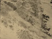




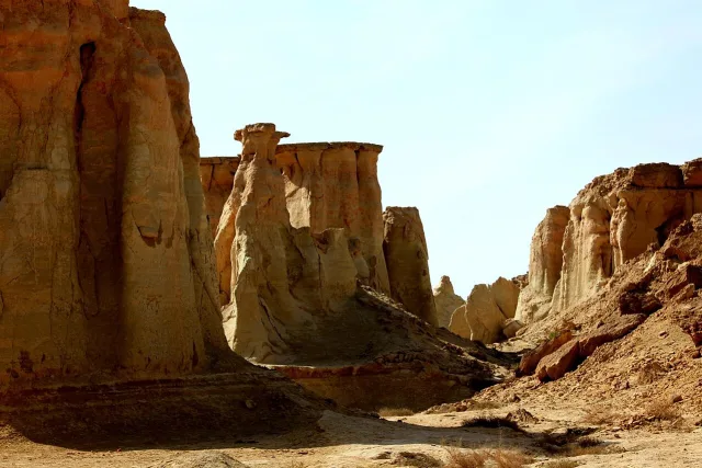
Qeshm Island in the Persian Gulf is a remarkable meeting place of tectonics, salt geology and coastal erosion. Its UNESCO Global Geopark protects landscapes including the Namakdan Salt Complex, where rock salt forms cave passages, and the Valley of Stars, where weathering has sculpted sedimentary rocks into narrow corridors, columns and strange silhouettes.
Where Is Qeshm Island?
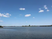
Qeshm is a large island off Iran’s southern coast in the Strait of Hormuz, along the northern margin of the Persian Gulf. The region is influenced by long-term convergence between the Arabian and Eurasian plates and the associated folding of sedimentary layers in the Zagros geological province.
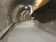
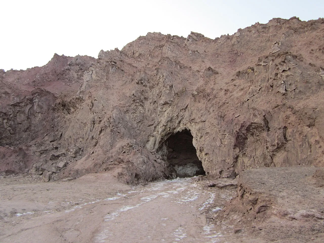
Namakdan: A Salt Cave System
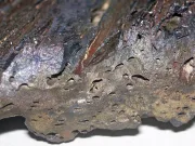
At Namakdan, thick evaporite deposits contain rock salt that can deform under pressure and flow slowly over geological time. Rising salt masses can create salt domes and help fracture overlying strata. Rain and groundwater then dissolve exposed halite, making openings, underground channels and cave passages. Because rock salt dissolves readily, these caves evolve differently from limestone caves. The geopark describes a salt cave system with galleries extending for several kilometers.
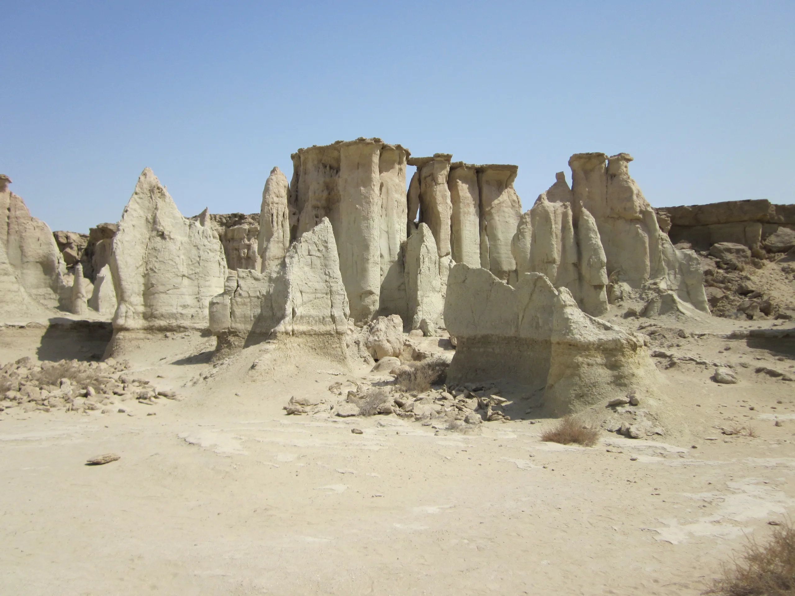
How the Valley of Stars Formed
The Valley of Stars is carved into sedimentary material. Rain, runoff, wind, salt weathering and differences in rock hardness gradually remove weaker layers while more resistant zones stand as columns and ridges. The result is a labyrinth of gullies, flat-topped mounds and pointed structures. The local shooting-star legend is culturally important, but the visible geology is the product of prolonged erosion rather than a proven meteorite impact.
Salt Tectonics and the Zagros Setting
Salt behaves very differently from most rigid rock when deeply buried. Over long periods, dense overlying sediments and tectonic stress can drive salt upward and sideways. Deformed layers, domes, salt glaciers and dissolving surfaces are all part of salt tectonics. Qeshm provides accessible examples of the interaction between folding, evaporites and near-surface erosion.
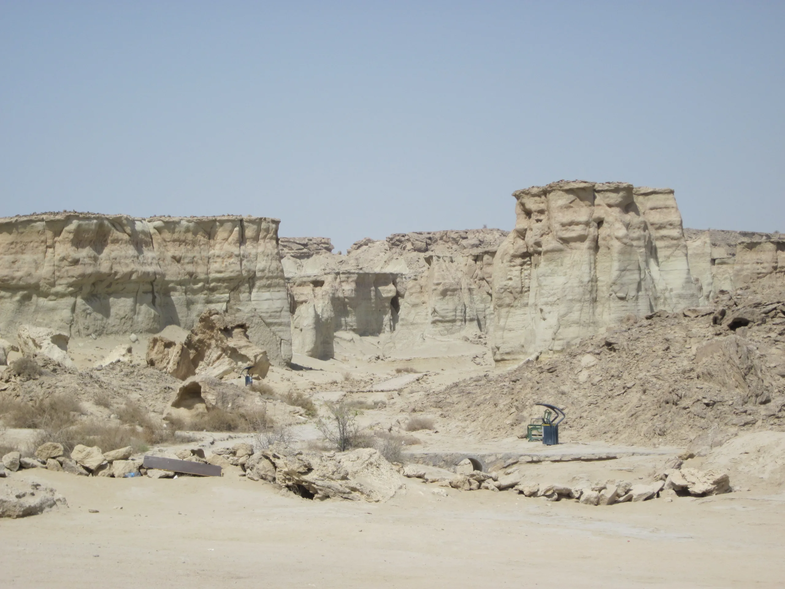
Why the Rocks Have Different Colors
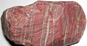
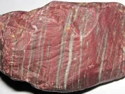
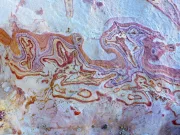
Layered sedimentary rocks record changes in sediment sources and depositional environments. Iron oxides can create red or yellow tones, while differences in mineral composition and weathering change the appearance of cliffs and valleys. Salt itself may be nearly colorless or white, but impurities and adjacent sediments produce additional colors.
Geological Heritage and Responsible Visits
Qeshm Island is designated a UNESCO Global Geopark. Its landscapes are valuable as geological heritage, not only scenic attractions. Salt cave surfaces and delicate sedimentary formations can be damaged by collecting specimens or leaving designated routes. See also our Hierve el Agua article for a contrasting example of mineral deposition.
Salt Diapirs and Dissolution Caves
Buried salt is relatively weak and can flow slowly under pressure. Tectonic deformation can bring salt masses upward, while fresh water dissolves exposed halite and creates underground passages. The resulting cave environment differs from ordinary limestone karst because salt dissolves readily.
Weathering of the Valley of Stars
Fine-grained sedimentary layers respond differently to rain, salt crystallization, wind and runoff. Differential erosion forms ridges, hoodoos, fluted walls and winding gullies. These landforms do not require a meteorite impact, even though the valley’s name is associated with a local legend.
How Salt Caves Differ From Limestone Caves
Karst can develop wherever water dissolves soluble rocks, but different minerals behave differently. Halite dissolves in fresh water far more readily than calcite in ordinary limestone, so salt caves may be reshaped quickly when recharge conditions change. Some passages follow cracks opened during diapir growth, while others follow routes where water has dissolved a channel. Gypsum or other evaporites can also be present. It is important to avoid assuming that every white chamber or hanging mineral formation is calcite.
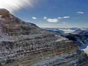
Reading the Island’s Sedimentary Layers
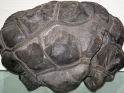
Bedding planes, changes in grain size and the orientation of fractures are visible in many Qeshm landforms. More resistant beds may protect softer sediment beneath them and create overhangs or narrow ridges. In arid environments, sporadic intense rain can produce significant erosion even if annual rainfall is limited. Comparing the cross-sections and surfaces of these formations helps geologists separate tectonic deformation from later surface weathering.
Frequently Asked Questions
What makes this geological site distinctive?
Qeshm is a large island off Iran’s southern coast in the Strait of Hormuz, along the northern margin of the Persian Gulf.
Is this a natural geological formation?
Yes. Its distinctive features are explained by known geological and environmental processes, supported by field observations and scientific research.