









November 21, 2026. Engineering firm AECOM has been selected to provide a major programme of ground investigation and reporting for California’s proposed Delta Conveyance Project. Announced on November 18, the five-year contract highlights how extensive geological and geotechnical work must come before a tunnel can be designed and built safely beneath a complex river-delta landscape.
What Is the Delta Conveyance Project?
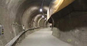
The proposal would add a single underground water-conveyance tunnel connecting new intakes along the Sacramento River to water infrastructure farther south. California’s Department of Water Resources describes a route approximately 45 miles (72 kilometres) long. The larger State Water Project supplies water used by millions of Californians, and supporters argue that improved conveyance could strengthen resilience to earthquakes, sea-level rise and climate extremes.
The new AECOM appointment does not mean that the tunnel has already been excavated or that all environmental and construction approvals have been completed. It concerns the investigation and design-support stage of a large proposed infrastructure project.
What Will the Geotechnical Contract Cover?
According to AECOM, the company was selected by the Delta Conveyance Design and Construction Authority (DCA) to lead a five-year programme of geotechnical and geoenvironmental investigations. The work includes exploratory field programmes, laboratory testing, engineering data development and technical reporting.
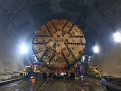
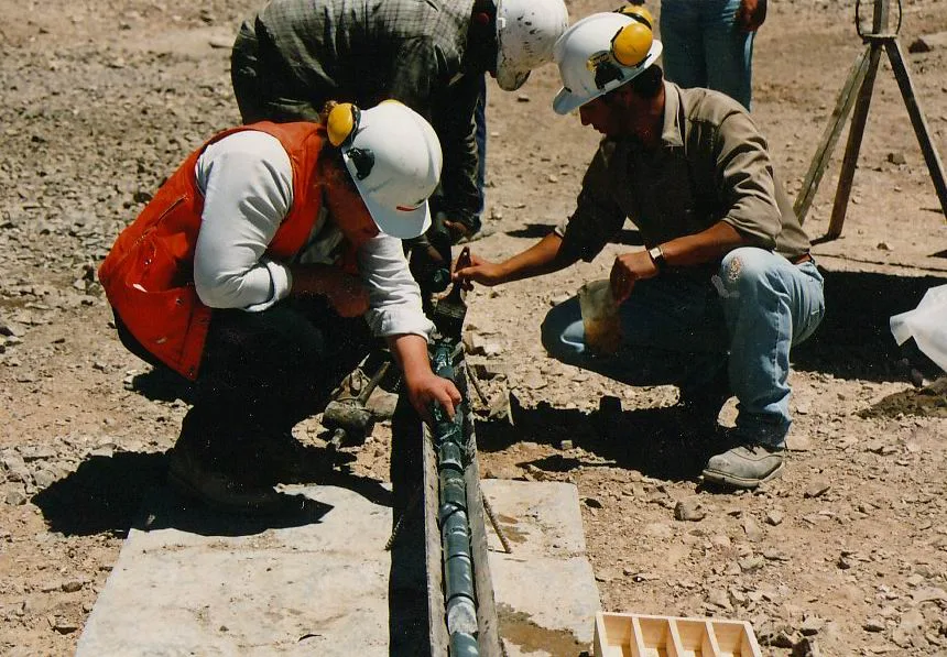
For a project of this scale, geotechnical investigation creates the evidence base for decisions about tunnel alignment, shafts, construction methods and ground support. It can include borehole logging, sampling, groundwater observations and mechanical testing of soils and rocks. Engineers then build a model of the subsurface rather than assuming that the ground is uniform along the entire route.
Why the Delta Presents Difficult Ground Conditions
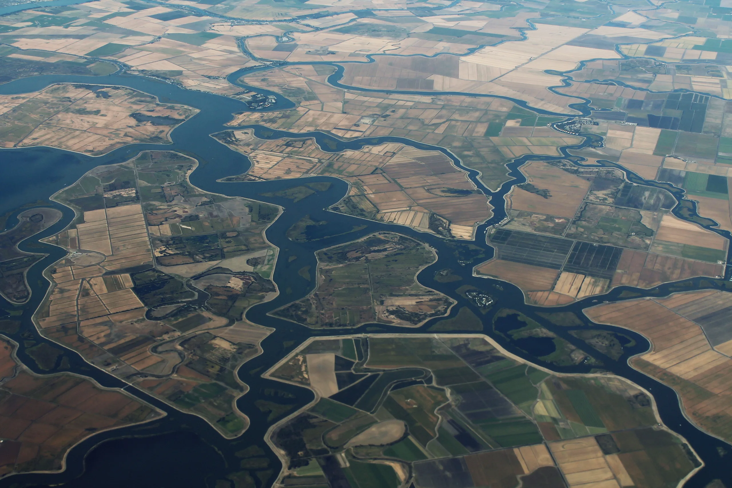
River deltas are built from sediments deposited and reworked by rivers, tides and flooding. Such environments can contain rapid changes in grain size and layer thickness. Soft or compressible deposits, variable groundwater conditions and potentially liquefiable sandy layers are among the hazards that may need evaluation in delta settings. The existence and severity of each condition must be established through site-specific surveys; they cannot be inferred from the landscape alone.
A tunnel project must also assess ground deformation, water inflow, excavation-face stability and the interaction of shafts or other structures with nearby ground. Where conditions change quickly along the route, the quality of the geological ground model directly affects construction risk and cost.
What Will Engineers Learn From Testing?
Exploratory drilling and laboratory tests help establish changes in soil and rock strength, compressibility, groundwater pressure, and the spatial distribution of geological units. Results can influence whether particular excavation systems and lining concepts are technically suitable. They also help identify where additional sampling or monitoring is needed before construction.
The distinction between exploratory data and a final design is important. A public contract announcement confirms the investigation scope, but it does not supply borehole logs, test outcomes, selected tunnel-boring machinery, construction methods or definitive subsurface risk ratings. Those would require project-specific engineering documentation.
Why the Announcement Matters
The Delta project illustrates how modern engineering geology brings together sedimentology, hydrogeology, drilling and geotechnical interpretation. Learn more about geophysical site investigations in our ground-penetrating radar guide. The next important developments will be field results, geotechnical interpretations, design changes and progress through the remaining project processes.
Official Sources and Photo Attribution
AECOM: November 18, 2026 contract announcement; California Department of Water Resources: Delta Conveyance planning; U.S. Army Corps of Engineers: proposed project overview.
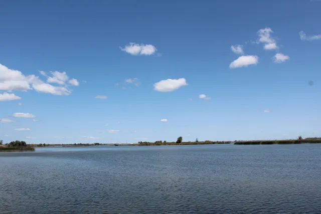
Featured image: Sacramento–San Joaquin River Delta waterways, California. Photo by Ligocsicnarf89 / Wikimedia Commons, CC0.